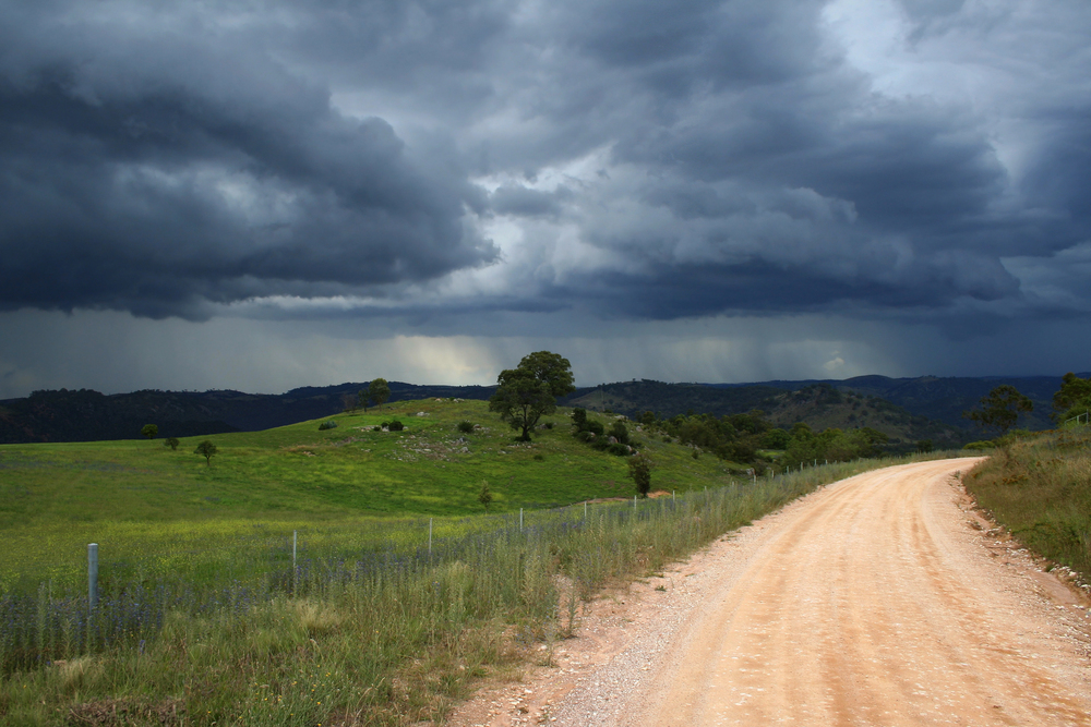
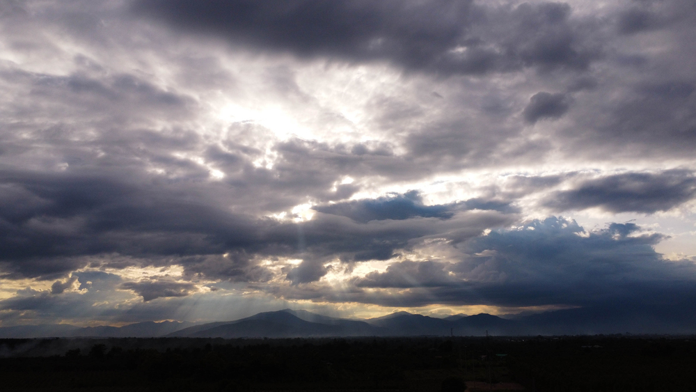
“These intense storms are just days behind thunderstorms rolled through the region of northern Plains with hail and wind damage gust reports, the ground is already saturated and vulnerable.” That’s from meteorologist Chad Merrill, and it’s an invitation to anyone in the Upper Midwest this week.
With another so-called ‘1,000-year-storm’ threatening North Dakota, South Dakota, and Minnesota, locals are bracing themselves for a whirlwind of flash flooding, tornadoes, and more. But what is ‘1,000-year-storm’ really, and how do you get ready for something so rare yet recurring? Here’s the inside scoop, from the science behind the news-making storms to the top advice on protecting your loved ones.
1. The Myth (and Reality) of the ‘1,000-Year-Storm
When meteorologists say ‘1,000-year-storm,’ what they really mean is that an event has only a 0.1% chance of occurring in any one year. But with a catch: such a prediction is riddled with uncertainty. As climate scientist Alexander Thompson describes it, “That is anything from a one-day 7.5-inch to 15-inch rain (an educated 1,000-year event), an extremely wide range.” The term typically originates from mere decades of rain gauge readings, rather than a thousand years’ worth of records. And as recent studies prove, what is described as a 1,000-year event today may actually be more of a 1-in-500-year event or even more frequent as climate trends shift. Storms at this level are becoming more frequent.
2. Why the Upper Midwest Is on High Alert
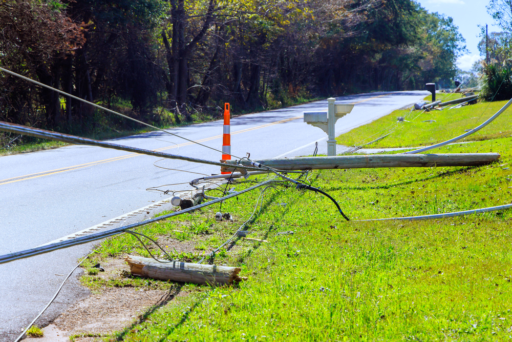
A strange atmospheric setup is putting North Dakota, South Dakota, and Minnesota in the storm’s bullseye. A vigorous cold front is being shoved against very hot, abnormally moist air, just what is needed to create severe thunderstorms, hail, and tornadoes. The National Weather Service indicates “an elevated risk of damaging winds and isolated tornadoes” can be expected as the system intensifies. Fargo and Grand Forks are especially at risk from flash flooding and loss of electricity, and the James River Valley of South Dakota is “enhanced risk” for severe storms tonight. These multi-state dangers are becoming business as usual.
3. Climate Change: Making Unusual Storms Routine
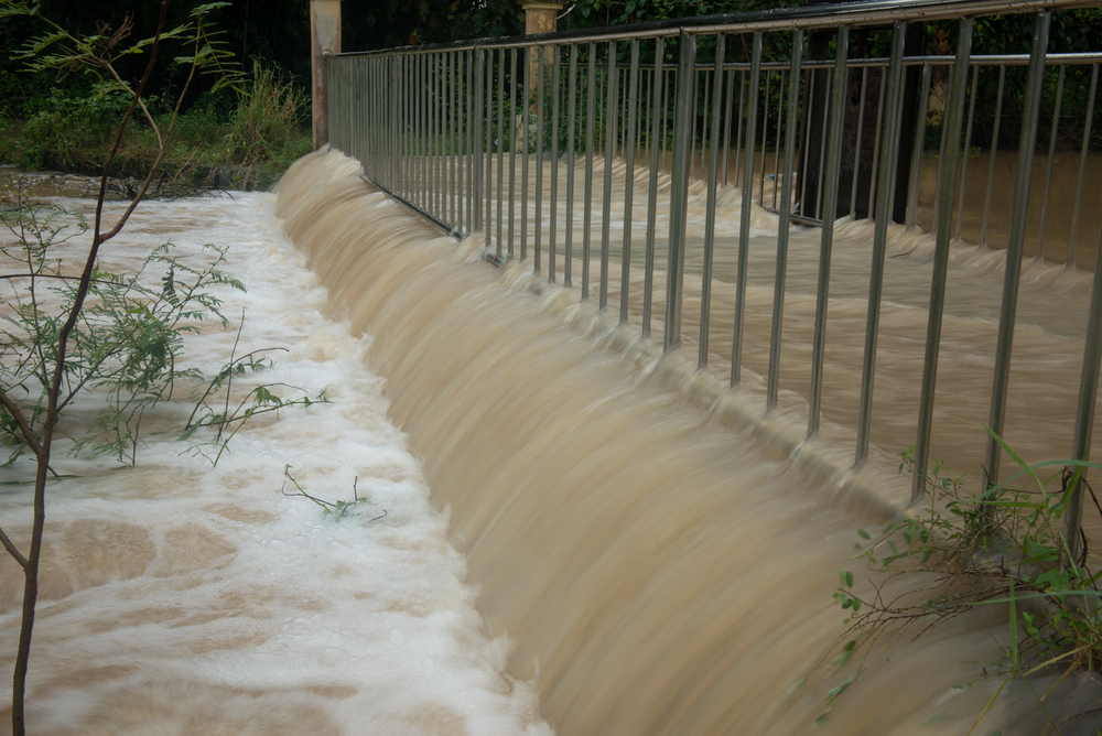
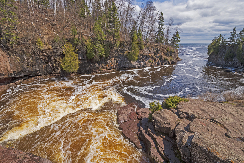
It’s not your imagination severe storms are happening with increasing frequency. Scientists describe how when the world warms up, the air is able to hold more water and therefore when it rains, it rains harder. As Colorado Climate Center Director Russ Schumacher describes it, “A warmer atmosphere can hold more water, making storms capable of dumping huge amounts of rain over land.” In fact, for every degree Fahrenheit of warming, the air can hold 3-4% more water. Which is why America witnessed four 1-in-1,000-year rain events in a span of just one week in 2024 a harrowing trend which only guarantees an increasing intensity with climate change.
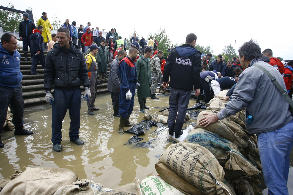
4. Why Rural Towns Are Particularly At Risk
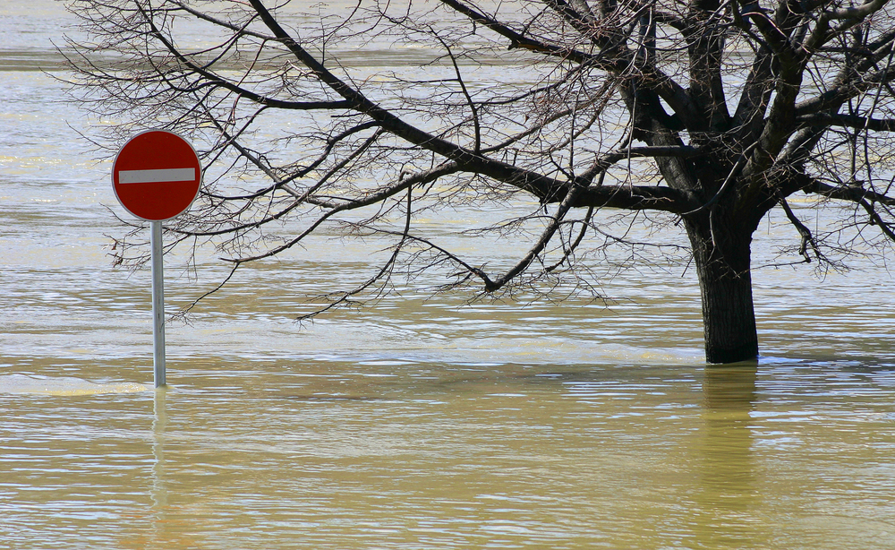
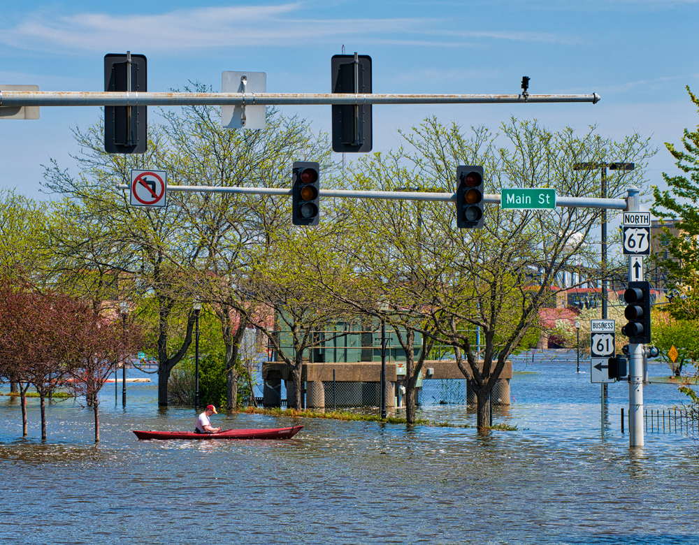
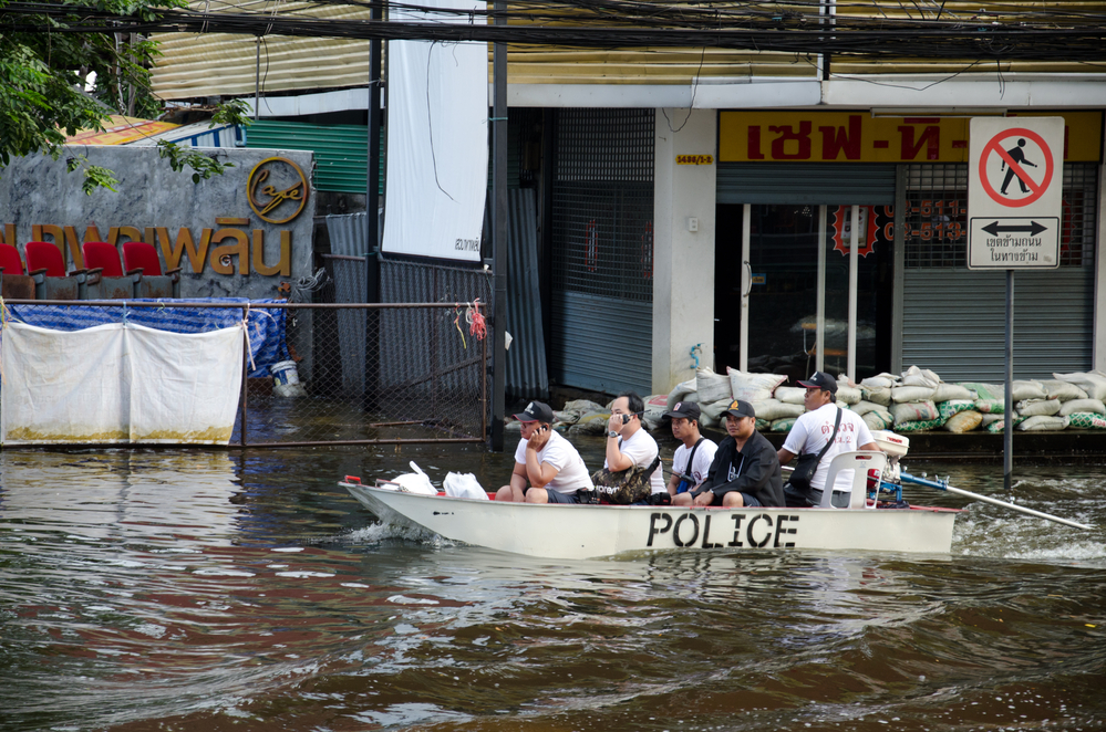
Rural towns of the Upper Midwest have their unique vulnerabilities when there’s massive flooding. Most rural communities are in possession of old infrastructure, less money, and more poverty, all of which can slow down recovery and render the same a challenging undertaking. For example, after the June 2024 floods in Minnesota and South Dakota, there were thousands who lost access to safe drinking water and electricity, and agriculture was also impacted. Rural water infrastructures are most at risk private wells and septic systems can become contaminated, and emergency systems become overwhelmed in rural areas. The result? Greater probability of long-term economic and health implications.
5. The Billion-Dollar Cost: Catastrophic Disasters Rising
More than a news headline it’s coming home to the pocketbook. Up to now in 2024, the United States has witnessed 27 separate billion-dollar weather disasters whose total cost is more than $182.7 billion. In isolation, June’s Upper Midwest flooding has a cost of $1.1 billion. On average, over the past decade, the annual cost of disasters doubled while the cost per capita increased to more than $400 per capita. More and more property and individuals are at risk particularly in areas that have been flooded and areas with sub-code construction.
6. Safety First: Simple Steps That Save Lives
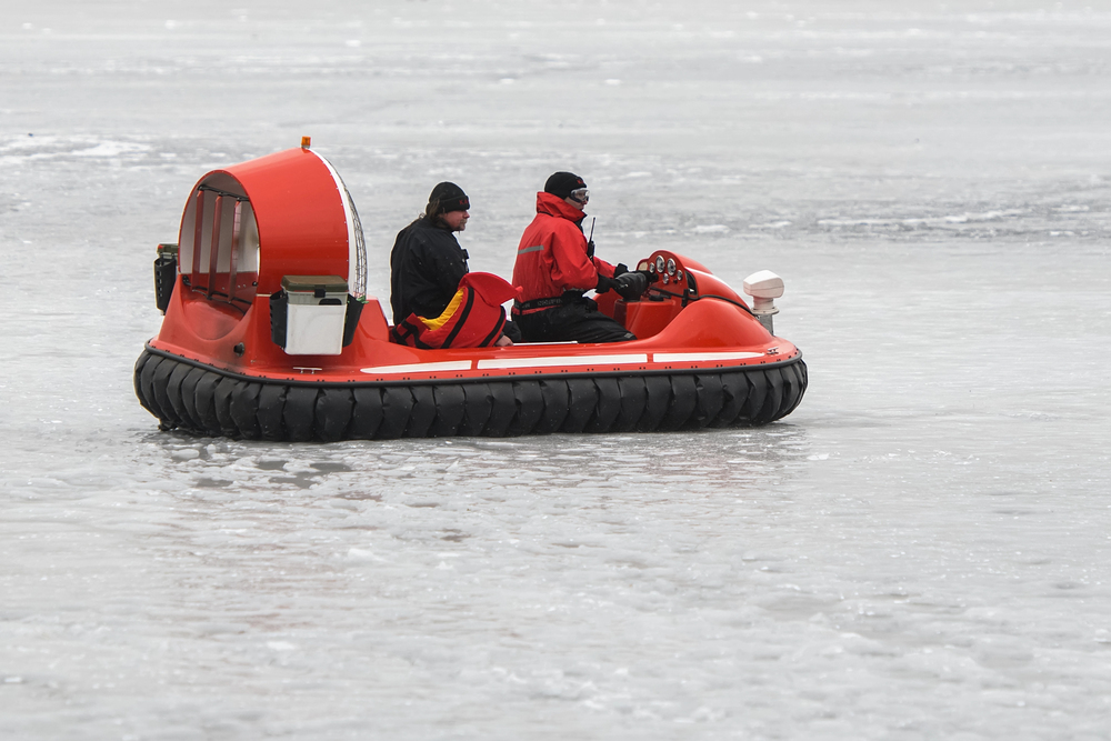
When the alarm goes off, the National Weather Service recommends the following: “Get in, get down, cover up.” Head inside, get away from the windows, and make your way to your lowest, most interior place with a basement being best. Use pillows, blankets, or helmets to shield your head from airborne debris. And don’t be without a NOAA weather radio for ongoing updates. As the NWS says, “Failure to prepare is preparing to fail.” These actions are maybe simple but are known to reduce injury and save lives in catastrophic storms.
7. Community Resilience: The Power of Local Action
It’s not just sandbags and shelters community feeling can be a life-saver. In rural Kentucky after the 2022 floods, neighbors set up mutual aid centers and water utilities from across the area came together to provide basic services. The same camaraderie was also shown after Hurricane Helene in North Carolina as people joined together to rebuild. Innovative actions, including moving homes to elevated areas or hardening local emergency plans, are paying off. With the climate continuing to throw curveballs, these innovative strategies and collaborations are helping rural and urban communities bounce back stronger. Resilience is everyone’s business.
Storms that once seemed impossible are now knocking on the door more often. But understanding the science, recognizing vulnerabilities, and acting on expert advice can turn anxiety into action. Whether you’re in the path of the next big storm or just want to be ready, staying informed and prepared is the best way to weather whatever comes next.


