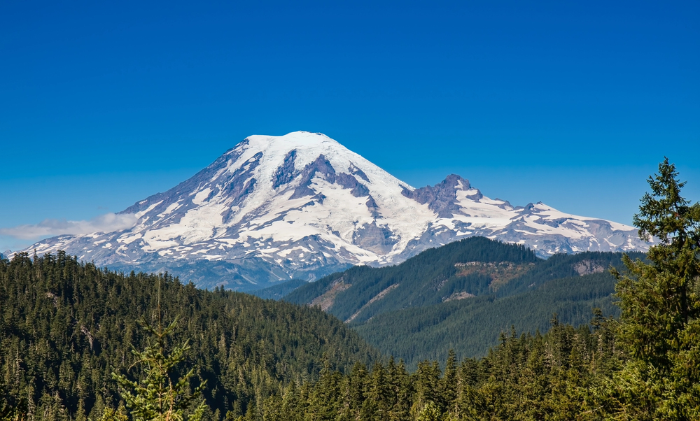
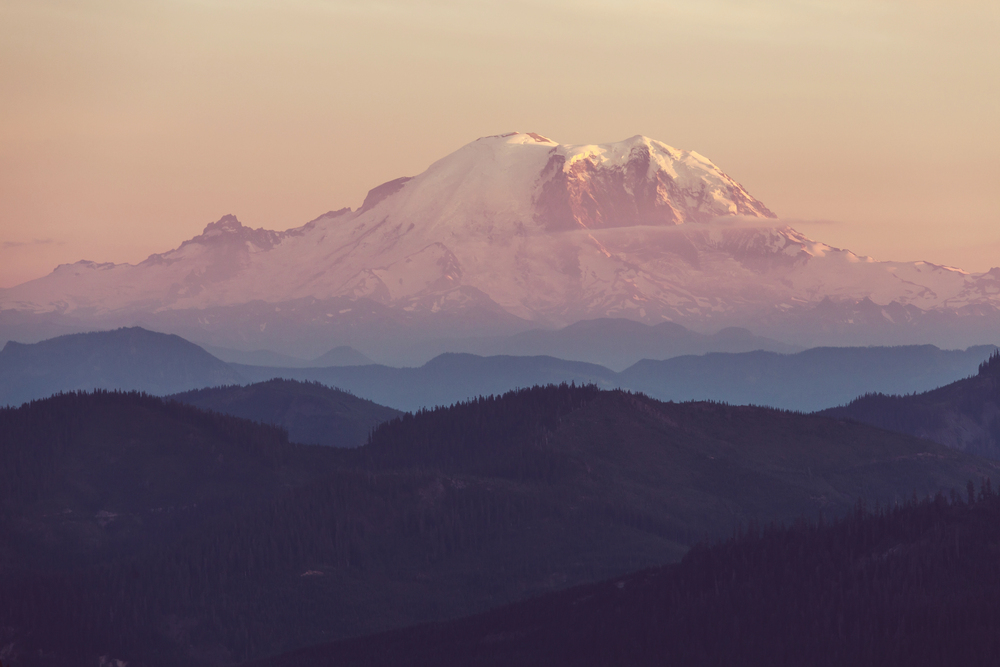
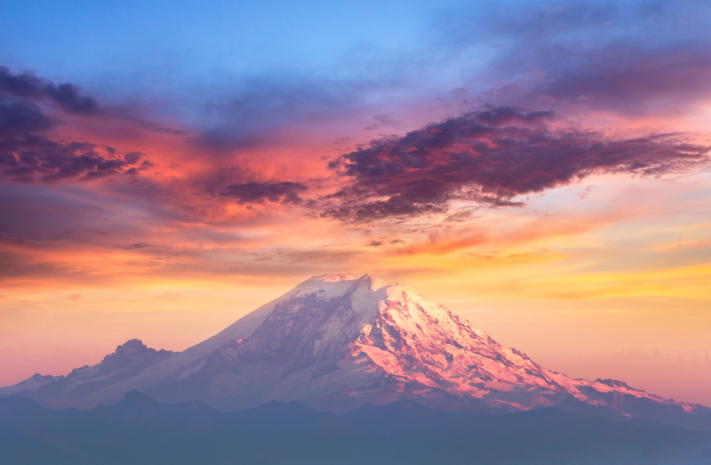
This is an active volcano. These are not the kind of earthquakes that cause eruptions, USGS’s Dr. Seth Moran told The Seattle Times. That relief comes during a summer in which over 300 earthquakes shook Mount Rainier in July 2025, grabbing headlines and churning up a wave of fear across Washington State. While the numbers sound dire, the reality is much more nuanced and, for many, reassuringly surprising.
With the biggest seismic swarm in more than a decade, it’s not surprising that neighbors, geology enthusiasts, and readiness experts are all wondering: What’s actually going on down in Mount Rainier? Is this an alarm signal, or simply another installment in the volcano’s fitful history? Let’s summarize the facts, underscore what’s most important, and show how communities can remain safe and smart in response to nature’s grumble.
1. Not All Earthquake Swarms Spell Disaster
When news came out that Mount Rainier had experienced over 300 earthquakes over a series of weeks, the first reaction was, of course, alarm. But experts were quick to explain that such swarms are nothing new for active volcanoes. According to the USGS, Mount Rainier typically sees one or two clusters of seismic activity in a year, but this recent batch was the largest since 2009. Most of the earthquakes were so tiny, less than magnitude 2.4, that people who live there didn’t even notice them. As the USGS summarized, “Such seismic activity is not unusual for Mount Rainier and does not signal an imminent eruption.”
2. What’s Actually Causing the Shaking?
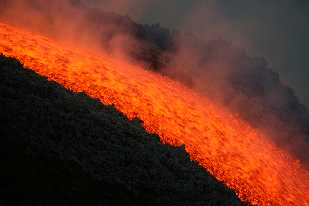
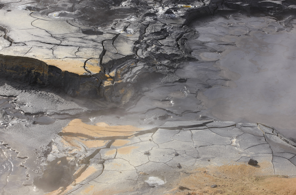
The culprit behind these swarms isn’t rising magma, but the movement of hydrothermal fluids far down within the volcano. Scientists have explained the tremors as hot water and gas migrating along existing faults, a process characteristic of snow- and glacier-covered volcanoes like Rainier. This hydrothermal activity fuels the volcano’s famous hot springs and steam vents but is far removed from the nefarious magma buildup that precedes an impending eruption. As USGS geologist Dr. Weston Thelen put it: “This is the kind of thing Mount Rainier does occasionally, and there is no indication it is going on to anything more.”
3. Lahars: The Real Threat Downstream
Whereas eruptions get the headlines, the most dangerous risk from Mount Rainier is actually lahars, high-speed slurries of water, mud, and rock that can slide down river courses for miles. These floods destroyed villages in the past and are among emergency planners’ greatest concerns. The lahar danger zone around Rainier contains over 91,000 residents, nearly 59,000 employees, and hundreds of important facilities. Communities like Orting, Sumner, and Puyallup are especially vulnerable, and even a non-eruption occurrence like excessive rain or a landslide can trigger a catastrophic lahar.
4. Monitoring Mount Rainier: High-Tech Vigilance on the Mountain
Mount Rainier is one of the most closely watched volcanoes in the world. Scientists use a complex array of seismic monitors, GPS receivers, gas sensors, and satellite observations to track every quiver and rumble. The USGS Volcano Hazards Program collects and interprets this data in near real-time, providing early warnings and up-to-date status reports to the public. Advanced technology like the National Volcano Information Service (NVIS) integrates ground sensor data and satellite data so it can pick up subtle changes and forecast hazards more effectively.
5. Community Preparedness: More Than Just a Drill
Preparedness is not just a slogan; it’s a lifesaver. However, only half of the residents in the lahar area have practiced evacuation pathways, and two-thirds lack a go-bag. Evacuation drills, especially in schools, have improved participation, but home preparation is still inadequate. Experts recommend getting used to evacuation pathways, signing up for emergency notifications, and practicing drills on a regular basis. Because, as one study concluded, practicing evacuees are likelier to safely evacuate and foot or by bicycle, not by auto, which can generate lethal congestion.
6. Who’s Most at Risk? Vulnerable Communities in the Lahar Zone
All communities aren’t created equal. The cities of Puyallup, Sumner, Fife, Orting, and Carbonado have the highest population and asset percentages in lahar hazard areas. Several schools, care facilities, and corporations are within the hazard zone, and the area’s population growth means that more and more people are at risk every year. This highlights the importance of focused education, tailored evacuation planning, and community engagement to reduce vulnerability.
7. Communication: The Cure for Panic
Media reports sometimes exaggerate fear, but frank, open communication on the part of scientists and officials is critical to keeping communities informed and not panicked. USGS and local authorities coordinate to ensure the accuracy, timeliness, and usefulness of updates. Having faith in such sources is important; studies show people who think that their community and leaders are prepared will tend to be more inclined to feel personally ready as well. But the work does not stop there: ongoing education, inclusive training, and honest dialogue help construct the collective strength required to meet whatever the mountain has in store for us.
Mount Rainier’s recent earthquake swarm is a reminder that living in the shadow of an active volcano is a matter of being on your toes, not your nerves. The real secret? The strength of using science, community, and common sense to turn fear into action. With state-of-the-art monitoring, targeted preparedness, and a culture of open communication, citizens can feel empowered rather than powerless in the mountain’s shadow. Ultimately, it’s not about dreading the next quake or rumble, but being prepared, together, for whatever lies ahead.


