
“A nuclear war cannot be won and must never be fought.” Those words, first said by Ronald Reagan and most recently echoed by President Joe Biden, are weighted with an ominous chill in today’s fraught geopolitical climate. Yet, as global friction between nuclear powers has reached a level not seen in decades, many Americans can’t help but ask a sobering question: if the unthinkable were to happen, where would be the safest?
Recent simulations from Scientific American, revisited by Newsweek, map the potential fallout from strikes on U.S. missile silos. The results don’t promise safety experts stress that nowhere is truly safe, but they do reveal regions with significantly lower radiation exposure in the critical days after an attack.
From coastal havens to those inland states that escaped the brunt of the fallout, here’s a closer look at the safest zones, the science behind the maps, and the hard truths experts want everyone to remember.
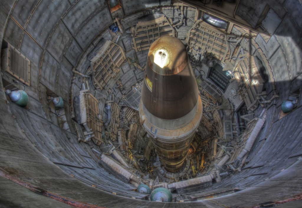
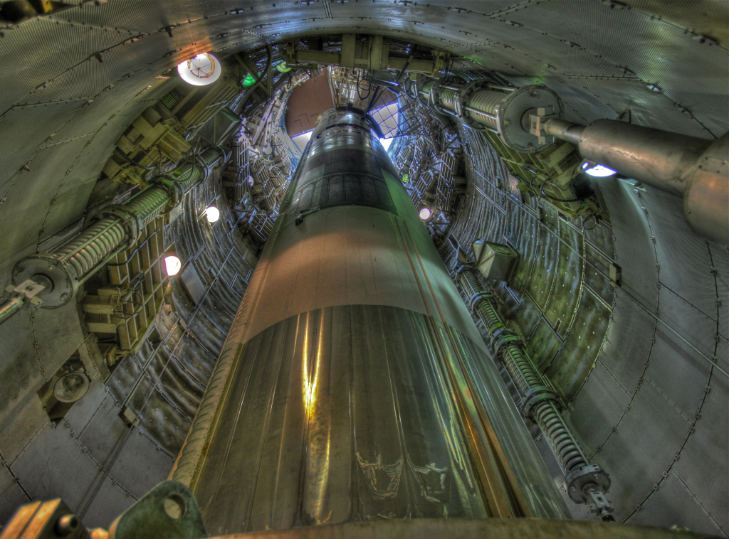
1. Why the Midwest Is Ground Zero
Hundreds of ICBM silos dot the U.S. heartland from Colorado and Wyoming to Nebraska, Montana, and North Dakota. In a nuclear war, these would be among the most prominent targets. One or two warheads, each with yields of approximately 100,000 tons of TNT, would be required to destroy a silo, creating extreme local fallout. Modeling from Princeton University suggests that nearby communities could get several times the lethal dose of 8 Gy in just four days. Moreover, wind would spread radioactive particulates hundreds of miles, rendering most of the surrounding Midwest uninhabitable in the short term.
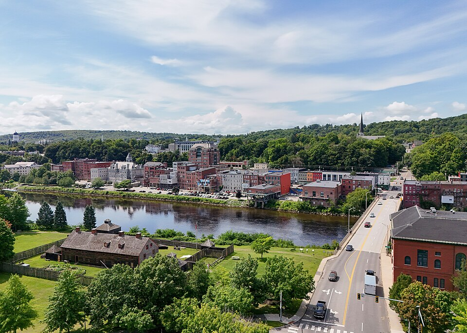
2. The Coastal Advantage
More distant states from the silo fields, particularly on the East and parts of the West Coast, fare considerably better in the fallout models. In average case scenarios, Maine, New Hampshire, Vermont, Massachusetts, Rhode Island, Connecticut, New York, New Jersey, and down through Florida show exposure levels ranging between 0.001 Gy and 0.5 Gy. These doses are well below lethal thresholds, allowing residents more time to get away or shelter. The main protective factors here include distance from primary targets and prevailing wind patterns.

3. Safest in the Worst Case
When wind direction and timing are factored in, the worst-case modeling still puts much of New England, the Mid-Atlantic, and the Deep South down to Alabama and Mississippi in the lower end of the exposure range, between 0.1 Gy and 2 Gy. While far higher than those from average models, these levels are survivable with appropriate sheltering. But experts caution that survival in the immediate aftermath doesn’t account for the long-term effects of a nuclear winter.
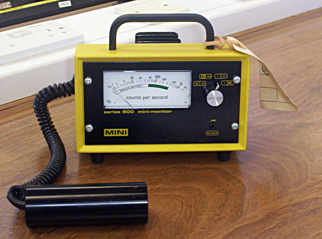
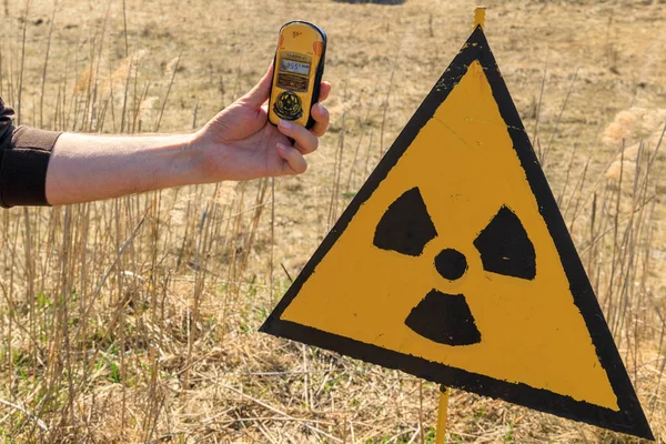
4. Radiation: The Numbers That Matter
Radiation dose is measured in grays. Scientists agree that more than 8 Gy is almost always fatal. Between 1 Gy and 4 Gy, one is likely to suffer a severe illness without medical care. The safest states in the simulations never exceed 2 Gy, while the most dangerous zones can spike up to 84 Gy. These are Montana, Wyoming, Colorado, Nebraska, South Dakota, North Dakota, Iowa, and Minnesota.
5. The Role of Wind and Weather
Fallout patterns are highly dependent on wind. Researchers modelled attacks for each day of 2021, demonstrating how shifting winds can dramatically change which areas bear the brunt of the damage. On some days, the East Coast remains largely untouched; on others, winds push radioactive clouds far beyond the Midwest. This variability means that there is always a possibility of higher exposure even in ‘safe’ zones, depending on the day and season of the attack.
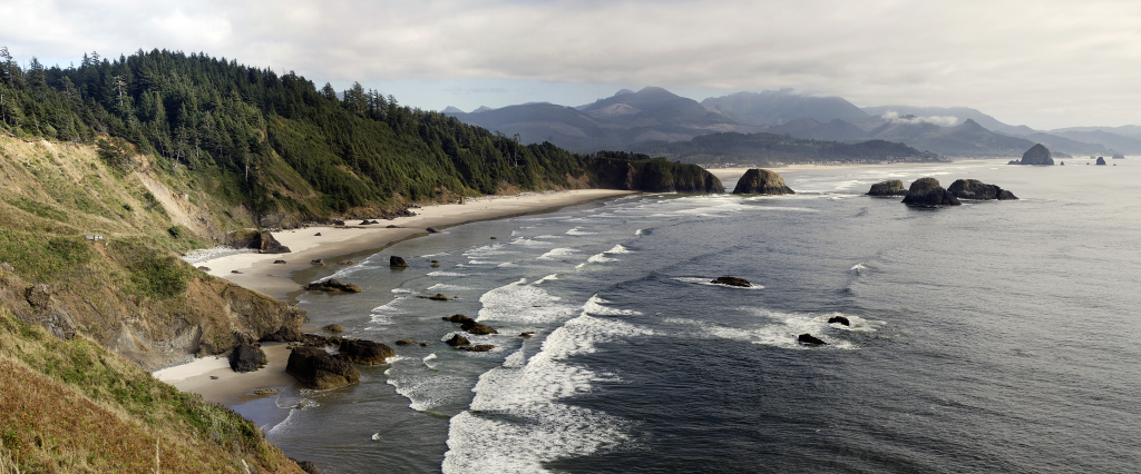
6. West Coast Resilience
Washington, Oregon, and California, in particular, are consistently modelled in the ‘less affected’ category, receiving little more than the annual public limit for radiation exposure, 0.001 Gy, within four days of an attack in many of the modelled scenarios. Geography plays a big role: The Pacific coastline and prevailing west-to-east winds tend to keep fallout from the silo states at bay.
7. Why Experts Say ‘Nowhere Is Truly Safe’
John Erath of the Center for Arms Control and Non-Proliferation warns that fallout is only part of the danger: contamination of food and water, infrastructure collapse, and prolonged radiation exposure would affect the whole of the country. Christian G. Appy of the University of Massachusetts Amherst goes further to note that even a ‘small’ nuclear war could trigger a nuclear winter famine killing at least a billion people worldwide.
8. Beyond Silos: Potential Targets
Not everyone thinks silos would necessarily be the first targets. Braden Goddard at Virginia Commonwealth University thinks that in some circumstances, Washington, D.C., might prove a more likely strike point. That would change fallout patterns dramatically, putting at risk areas which would be considered low-risk in silo-attack models.
9. The Moral and Practical Limits of ‘Safety’
While maps may inform preparedness, several experts say it is ethically troubling to focus on ‘safe zones’ in a nuclear war, since-as Appy says-most survivors in a large-scale exchange would be killed through environmental collapse. Yet, relative risk can inform evacuation planning, emergency stockpiling, and policy debates over nuclear deterrence and disarmament.
The data tells a stark story: while some states may be statistically less exposed to immediate fallout, the interconnectedness of the consequences of nuclear war suggests that survival is far from guaranteed anywhere. For the concerned resident, the takeaway isn’t just where to live, but why prevention, diplomacy, and preparedness mean more than any map.


