It began with a sudden silence on the roads, broken only by the muffled crunch of tires on snow. In the Great Lakes region, narrow but intense bands of lake-effect snow turned familiar commutes into white-knuckle journeys, while an Arctic blast for the record books swept across the eastern half of the United States, reaching all the way to Florida.

1. Dangerous Lake-Effect Snow in the Great Lakes
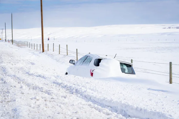
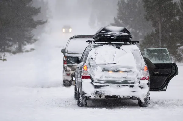
From Chicago’s suburbs into the Upper Peninsula of Michigan, snowfall totals were over a foot in some areas. “Dangerous to impossible travel conditions” were forecast by the National Weather Service, with winds up to 50-mph gusts and snow rates over three inches an hour. In northwest Indiana, the mix of heavy snow and strong winds stranded drivers along Interstate 57. Lake-effect snow-which is caused by frigid air passing over relatively warm lake waters-created a wide contrast between one town buried under double-digit totals and another, just miles away, seeing only flurries.
2. Record-Breaking Cold Across the Southeast
The same Arctic air mass fueling the snow pushed deep into the Southeast, threatening decades-old records. Birmingham, Savannah, and Tampa all faced early-November lows rarely seen in living memory. Jacksonville’s forecast of 30°F marked its earliest such reading since 1976. Melbourne, Florida, could see its earliest day below 60°F in over 85 years. According to the National Weather Service, wind chills in Florida dipped into the 20s and low 30s, prompting freeze warnings across multiple states.
3. Rare Southern Snowfall
Snow wasn’t limited to the Great Lakes: Flurries dusted Charleston, West Virginia, and higher elevations along the North Carolina–Tennessee border. Even Atlanta saw a few flakes Monday afternoon-a very unusual sight for early November. In Georgia’s Blairsville, measurable snow accumulated overnight, and Lancaster County, South Carolina, woke to a fresh coating.
4. Historical Context of Early Arctic Blasts
Meteorologists said that such an early-season cold snap wasn’t unprecedented, though very rare. This polar plunge was set up by the jet stream’s deep dive into the U.S., something which has occurred only a few times this century. Forecasters described it as a “historic” cold anomaly, with up to 30°F below average readings in parts of the Southeast; the lake-effect snow arrived over two months ahead of when Chicago would normally see its first inch.
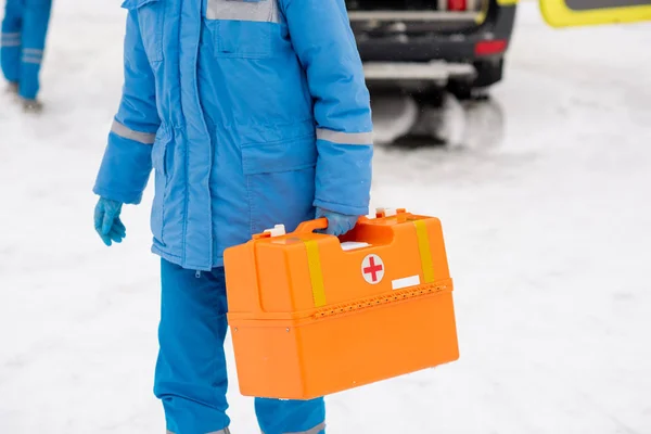
5. Prepare Your Home and Vehicle
Authorities advised people to put blankets, food, and water in emergency car kits and try to avoid traveling in the heaviest snow bands. In freeze warning areas, officials suggested taking precautions to protect plumbing, such as letting faucets drip. Gardeners were told to harvest tender crops and cover their plants. The Chicago Office of Emergency Management reminded drivers to have supplies on hand in case they became stranded.
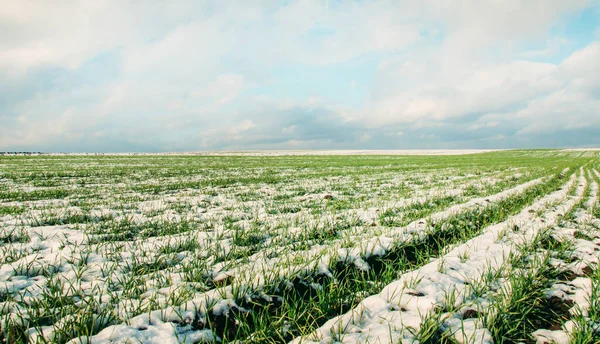
6. Impacts on Agriculture and Wildlife
Florida’s agricultural areas prepared for possible damage. Though citrus crops were expected to remain undamaged unless temperatures dipped below 28°F, pepper, eggplant, and leafy green growers in northern Florida scurried to collect their crops. Invasive iguanas, too, were said to be falling out of trees as the temperatures remained below 40°F, a condition described by experts as temporary. Christina Morton of the Florida Fruit & Vegetable Association said, “These colder temperatures are good for the needed chill hours to boost production” for certain crops like strawberries.

7. Energy and Infrastructure Strain
Energy demand jumped with temperatures plummeting 20–25°F below normal. Utility systems saw their first major test of the season, and forecasters warned of vulnerabilities to infrastructure and plumbing that hadn’t been protected. The sudden cold snap sent supply chains into disarray in snow-battered areas.
8. The Science Behind the Cold
Meanwhile, a strong high-pressure ridge over the West and a deep low over the Great Lakes funneled Arctic-modified air southward. The polar vortex, normally confined to the Arctic, dipped into lower latitudes and provided a corridor for extreme cold to spread. This setup enhanced lake-effect snow by passing frigid air over lake waters still in the 40–50°F range, maximizing moisture uptake and intensity of snowfall.

9. Brief but Intense Forecasters did emphasize how the wintry blast would not last long.
Temperatures in the central U.S. were expected to bounce back quickly by Tuesday, with most of the East to do the same by Wednesday. Yet the event did serve as a stark reminder that weather patterns can change quickly and bring midwinter conditions long before the calendar says so. On a national scale, the country saw in rapid succession a clash of seasons, the lingering warmth of autumn replaced by winter in full fury, from blinding snow squalls along the shores of Lake Erie to frost on the palm fronds of Florida.


