
It began as a long, shimmering band of moisture stretching across the Pacific, but now forecasters warn it could deliver one of Los Angeles’ wettest Novembers in four decades. This weekend’s atmospheric river storm, powered by a notoriously unpredictable “cut-off low,” is expected to unleash intense rainfall, rare spinning thunderstorms and even the possibility of California tornadoes.
1. Potential Record Rainfall
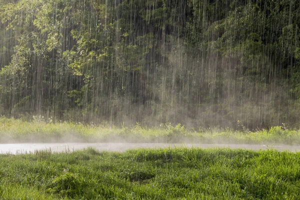
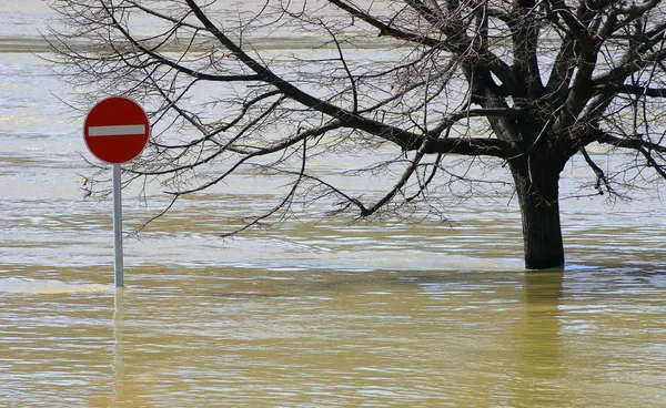
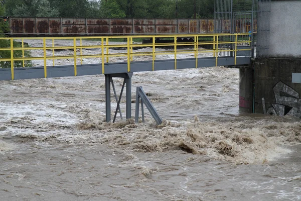
Meteorologists say downtown Los Angeles might see 2.62 inches of rain by Sunday, enough to exceed the city’s wettest November since 1985. There is also a 30% chance of a worst-case event with 4.81 inches-which would equal one-third of downtown’s annual rainfall. Rainfall rates could peak between 0.75 and 1.25 inches per hour-well above the threshold for triggering landslides.
2. Burn Scar Areas at High Risk
Recent wildfire burn scars, such as the Eaton, Palisades, Kenneth, Sunset, and Hurst fires, are at an increased risk. As experts with the U.S. Geological Survey describe, slopes devoid of vegetation can transform rainfall into “a flood on steroids,” moving mud, boulders, and debris faster than a person can run. According to the National Weather Service, there’s a 70% chance the Eaton and Palisades scars will see rainfall greater than 0.5 inches per hour on Saturday.
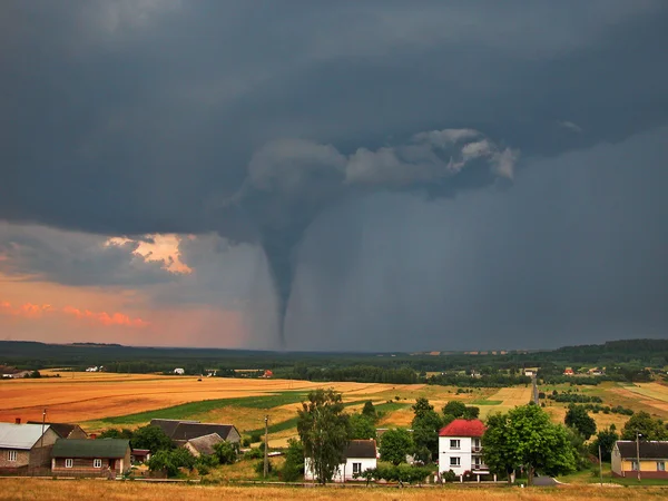
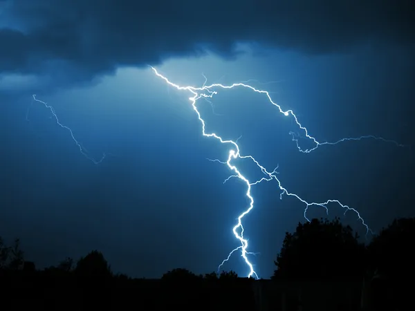
3. Tornadoes and Spinning Thunderstorms
While rare, forecasters say California tornadoes could bring brief, damaging twisters to coastal and valley areas. “They’re weak, they’re brief, and usually don’t cause a whole lot of issues,” said meteorologist Ryan Kittell, “but we do get quite a few of them.” Such storms may also bring damaging winds and lightning.
4. Understanding the Cut-Off Low
Cut-off lows are detached from the jet stream and, therefore, can linger and wander unpredictably. This is what has been making it so difficult to pinpoint the heaviest rain zone-whether it will be Los Angeles, Ventura, or Santa Barbara County. As was demonstrated in past events, such systems can transport moisture in strange patterns and prolong rainfall, further complicating forecasts.

5. Emergency Preparedness for Flood and Landslide Zones
Officials urge residents to prepare now. Steps from the Cal OES guidance include:
- Sign up for local emergency alerts.
- Pack a “go-bag” with essentials like medications, ID copies, and pet supplies.
- Know multiple evacuation routes.
Clear gutters and drains, and secure outdoor items. - Avoid all flooded roadways six inches of moving water can knock down an adult, and one foot can float most vehicles.
6. Travel and Commuter Impacts
Flood watches will be issued from 4 a.m. to 10 p.m. Saturday, with evacuation warnings through Sunday morning in high-risk areas. Southeast and east winds could lead to delays at Los Angeles International Airport. Drivers should be prepared for slick roads, possible road closures, and low visibility.
7. Staying Safe During Lightning and High Winds
If thunderstorms develop, stay indoors and away from windows. Never seek shelter under trees during lightning. High winds may topple weakened trees, especially in saturated soil, so avoid unnecessary outdoor activity and secure loose objects.

8. What to Watch as the Storm Unfolds
Rain begins Friday morning in LA, Orange, Riverside, San Bernardino, and San Diego counties. The heaviest downpours come late Friday into Saturday. Even desert areas such as Palm Springs could see up to 1.5 inches. Snow will be confined to elevations above 7,000 feet. Only light accumulations are expected in Big Bear and none in Idyllwild.
Forecasters emphasize how conditions can change very rapidly. “Consider changing any plans that you might have for Saturday. Stay home and indoors,” Kittell said. With a storm capable of producing flooding, debris flows and rare tornadoes, staying alert and acting early will be key to weathering the weekend safely.


