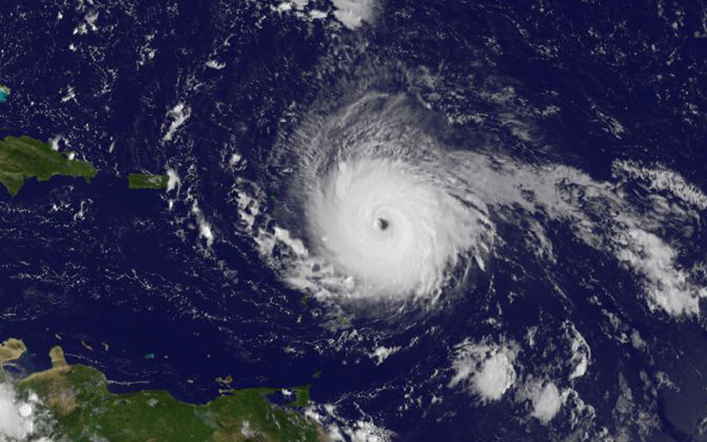
Will 2025 be the year your state faces a hurricane? As the most active months of the Atlantic hurricane season descend upon us, scientists have revealed their final forecasts, and the numbers are startling. With warm waters fueling storms and climate factors aligning for above-average activity, those along the Gulf and East Coasts will want to take heed.
Colorado State University’s August update predicts 16 named storms, eight hurricanes, and three major hurricanes for the season, which runs through November 30. That is more than the historical average, while some states face significantly higher odds of landfall. With the complement of NOAA’s advanced tracking tools and an evolving pattern of climate change, that data provides a clear picture of where risks stand highest-and why it matters to prepare now.

1. Florida Leads the Risk Chart
In 2025, Florida remains the state most likely to see hurricanes, with an 89 percent chance of a tropical storm and a 61 percent chance of a hurricane. The chances of a major hurricane passing within 50 miles reach 32 percent, the highest in the nation. Warm Atlantic waters, as well as the long coastline of the state, are partly responsible for this increased risk. As experts explain, what makes things worse for Florida is that it stands right in the middle of the storm track and can thus be hit from several directions.

2. Gulf Coast Hotspots: Louisiana and Texas
Louisiana has a 71 percent chance of a tropical storm and a 43 percent chance of a hurricane, with a probability of 16 percent for a major hurricane being nearby. Texas is a close second at 66 percent storm chance, 41 percent hurricane chance, and an 18 percent major hurricane probability. Shallow, warm waters throughout the Gulf provide ample energy to fuel storms, and its geography tends to funnel systems toward these states. NOAA points out that past seasons have shown how rapidly storms across the Gulf can intensify before making landfall.
3. Eastern Seaboard Concerns – North Carolina, Georgia
North Carolina leads the chances, at 73% for storms and 43% for hurricanes, but Georgia could also see a storm hit its coast with a 68% chance, the hurricane chance standing at 34%. An Atlantic coast or Caribbean-tracking storm has the potential to hit either, and their shape promotes onshore flow from the prevailing winds, which will tend to steer hurricanes toward them. Besides, there is a lot of possibility for inland flooding, as is evidential over recent years.

4. Moderate Risk States: South Carolina, Alabama, and Mississippi
South Carolina has a 62% storm chance and 32% hurricane chance; Alabama, 63% and 31%, respectively; and Mississippi, 58% and 32%, respectively. These states may not be leading the charts, but their risks are well above average. The combination of warm coastal waters and proximity to common storm paths means that residents should prepare at least as thoroughly as those in higher‑risk zones.
5. Lower but Notable Risk in the Northeast
Other states that border the Atlantic are at a lower risk: Massachusetts at 37% storm and 16% hurricane probability, New York at 30% and 11%, and New Jersey at 25% and 8%. Although these figures are smaller, history has shown that one rare event can be absolutely disastrous-as in the case of Hurricane Sandy in 2012. Warmer waters creeping northward could make future Northeast storms more intense.

6. Climate Drivers Behind the Forecast
Formation of hurricanes requires warm sea surface temperatures, mid‑level moisture, and low vertical wind shear. In the year 2025, the tropical Atlantic is above average, and ENSO‑neutral conditions are associated with a strong West African monsoon, favorable for storm development. These factors reduce the atmospheric stability and allow disturbances from Africa to grow into powerful systems.
7. Role of Global Warming
According to NOAA climate research, projected anthropogenic warming will increase hurricane rainfall rates by about 14 percent in a 2°C scenario and raise the proportion of Category 4 and 5 storms. While century‑scale trends in storm frequency are unclear, recent decades have seen more rapid intensification events. Rising sea levels also mean higher storm surge potential for coastal communities.
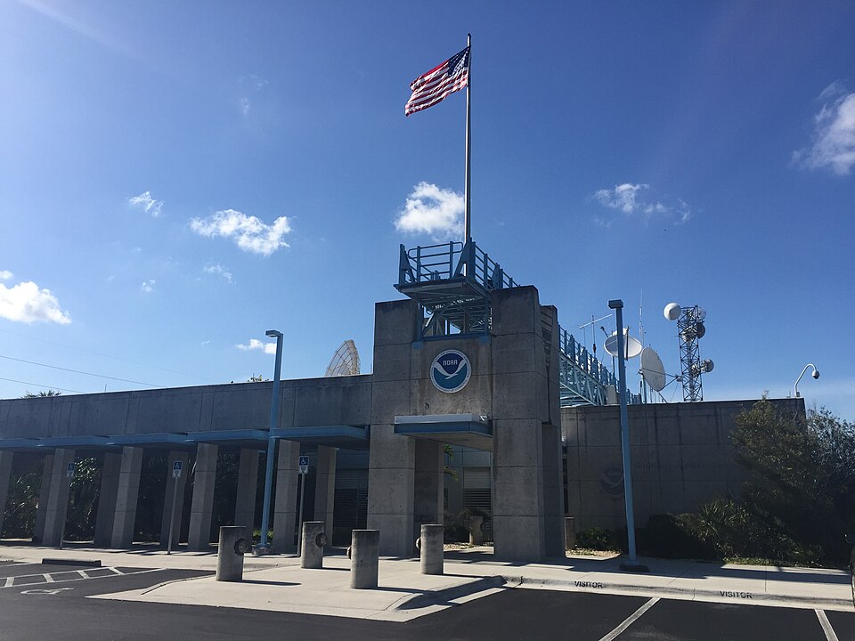
8. NOAA’s New Forecasting Tools
For 2025, NOAA has updated its Hurricane Analysis and Forecast System to reflect 5% improved track and intensity predictions. For the first time, the National Hurricane Center will be able to issue advisories up to 72 hours before tropical‑storm‑force winds arrive. A new rip current risk map will be available when active systems are present. In this way, such innovations give communities precious more time to act.

9. Preparing for Storm Season
Experts emphasize that a family evacuation plan, putting together emergency kits, and getting information through several warning sources are important. The emotional preparation is relevant, too-accepting anxiety, talking to loved ones, and limiting exposure to repetitive coverage of a storm can help cope with stress. As NOAA’s Ken Graham said, “This outlook is a call to action: be prepared.”
While the 2025 hurricane forecast suggests above‑average activity, the real takeaway is that risk is not confined to the highest‑probability states. From Florida’s high odds to the Northeast’s occasional but impactful storms, preparation is the common thread. With more advanced forecasting tools and clear climate signals than ever before, now’s the time for residents to use the information.


