
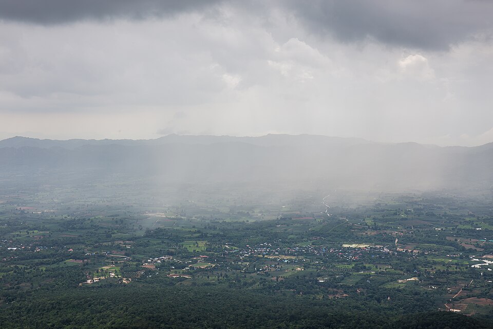
The National Weather Service issued a rare “high risk” warning for excessive rainfall across Southern California this Christmas week – a designation made on less than 4% of days annually but historically responsible for over 80% of flood-related damage and 36% of flood deaths in the U.S. This Pineapple Express atmospheric river storm is likely to bring the region its heaviest Christmas rainfall since 1971, with five consecutive days of rain, along with damaging winds, and the possibility for life-threatening flooding and debris flows.
1. Overview of Storms and Historical Context
Meteorologists frame the incoming system as one of the “more impressive Christmas Eve or Christmas Day storms” on record. Downtown Los Angeles has an 80% chance of seeing at least 2 inches of rain between Tuesday and Christmas Day-a threshold it last reached during the 1971 holiday. Areas along the coast and in valleys could see 4 to 8 inches by Saturday, with foothills and mountains potentially surpassing 12 inches. The warm, moisture-laden nature of this storm means snow will be confined to higher elevations, but the heavy Sierra Nevada snowfall-up to 5 feet-will create major travel impacts.

2. Timeline of the Storm
Tuesday: Afternoon sprinkles develop into steady rain by night, with a stronger wind developing after 10 a.m. Most areas gust to 40–60 mph although mountain passes could see up to 80 mph. Wednesday (Christmas Eve): The peak rainfall rates up to 0.5-1 inch per hour are expected from midnight to noon; thunderstorms possible. This is the most intense period for flooding, especially across burn scars. Thursday (Christmas Day): A second wave of heavy rain at midday moves in from west to east. Intensity will again be a bit lower than the first wave but capable of producing flooding and debris flows. Friday–Saturday: Continuing showers keep the region quite wet. Snow levels fall; several inches in Southern California mountains.
3. Regions Most Under Threat
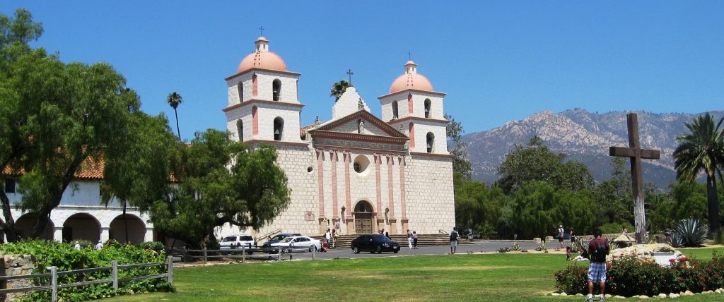
The “high risk” zone includes Santa Barbara, Ventura, Los Angeles and San Bernardino counties, though particular concern was reserved for the southern slopes of the Santa Monica, San Gabriel and San Bernardino mountains. Burn scar areas from the Palisades, Eaton, Kenneth, Bridge, Agua Dulce, Lidia, Canyon, Sunset and Hurst fires were considered especially vulnerable. Burned soil can be as water-repellent as pavement, meaning that even half an inch of rain in less than an hour can trigger a debris flow.
4. Evacuation Orders and Warnings
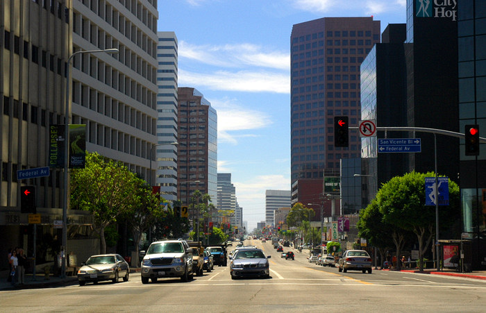
Los Angeles County ordered evacuations for around 400 most-at-risk homes. The warnings include areas of Pacific Palisades, Mandeville Canyon, Altadena, and a number of canyon communities. Ventura County ordered the Ventura Beach RV Resort to evacuate and issued warnings for Matilija Canyon and other high-risk areas. Orange County issued a mandatory evacuation order for the Airport Fire burn scar starting Wednesday morning.

5. Wind Hazards
A High Wind Warning has been issued until Thursday afternoon. It includes wind gusts of 80 mph in mountains, and 40-60 mph for coastal and valley areas that may knock down trees and power lines, causing outages and road blockages. Saturated soil will add to the possibility of trees getting uprooted.
6. Travel Impacts
Officials encourage residents not to travel during peak periods of the storm. Coastal roads: Topanga Canyon Boulevard, Malibu Canyon Road and Tuna Canyon Road are closed until further notice. Mountain routes: Chantry Flat Road and Glendora Mountain Road are closed due to risk of slides. In the Sierra Nevada, chain controls, road closures and whiteout conditions are expected; Thursday said to be worst day of travel.

7. Preparation Tips for Residents
Sandbags are available at various county locations. Clear your gutters and storm drains to help prevent urban flooding. Have your emergency kit ready with flashlights, batteries, food, and water. Sign up for NotifyLA.org. If in a burn scar area, pre-identify the highest elevation in your home and plan where to go in case of an emergency. Never enter flooded streets – 6 inches of water can stall a car, and 2 feet of moving water can carry it away.

8. Psychological Resilience Amid the Storm
While the scale of warnings can feel overwhelming, preparation offers a sense of control. Communities are mobilizing-from friends helping place sandbags to agencies pre-positioning rescue crews-to make sure that residents are not going into this storm alone.

“It might be best to stay indoors during this event,” says Meteorologist Ariel Cohen, underscoring that safety is the priority. Staying informed, connected, and cautious can help residents weather the physical and emotional impact of this historic holiday storm.


