
The idea that wildfires are only a risk during summer or in the West is entirely wrong. The National Interagency Fire Center (NIFC) recently released its North American Seasonal Fire Assessment and Outlook, and it found that many areas are dealing with higher-than-average wildfire risks outside of peak season. Here are some of those places.
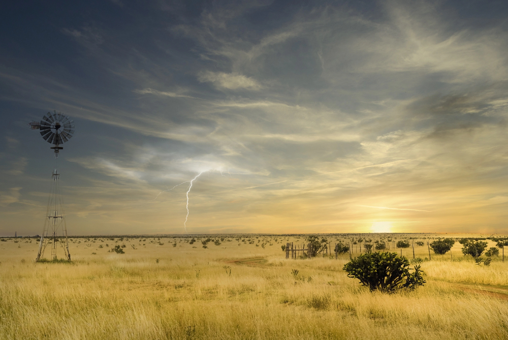
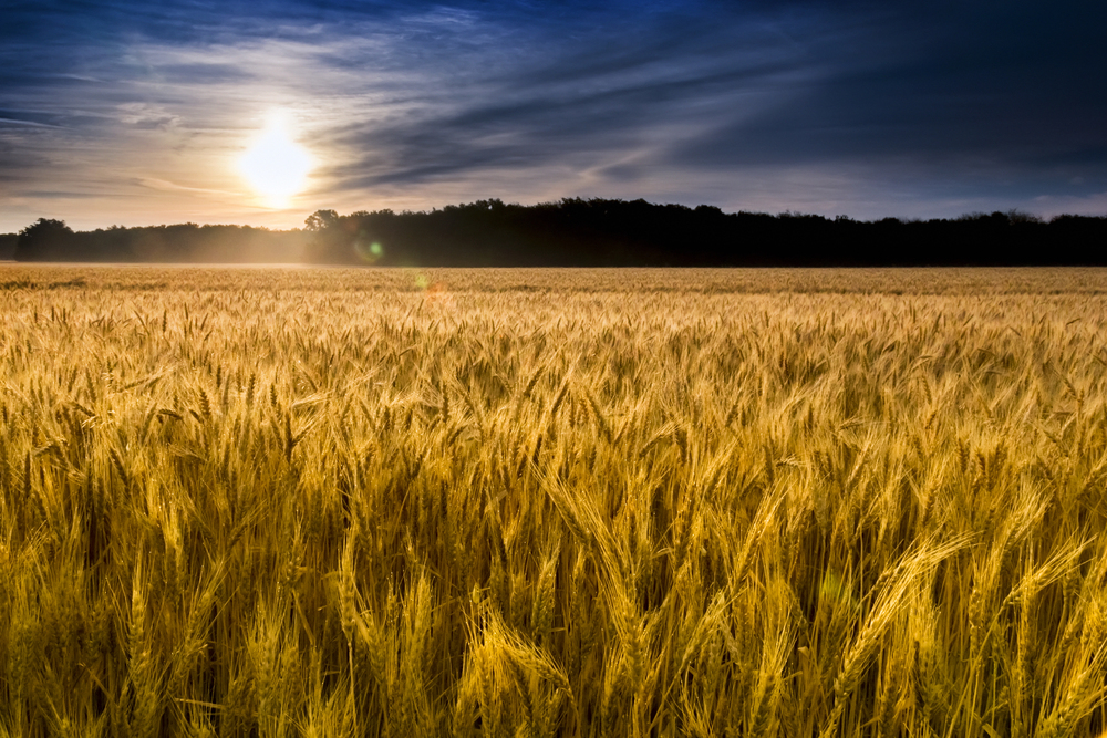
1. Southern High Plains
The area from the Texas Panhandle to western Oklahoma is often on the NIFC’s outlook maps. It’s down to the fact that all that grass & wind, coupled with extreme dryness, become the perfect fuel for wildfires. The NIFC Predictive Services outlook predicts that cured grasses and frequent frontal winds may create a fire potential that’s higher than normal for the winter months. All it takes is a particularly windy afternoon and dry fuels to kickstart a fire, rather than heat waves.
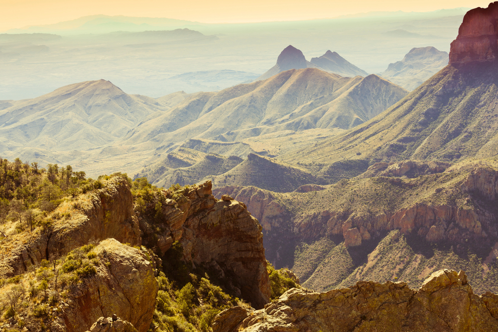
2. South Texas
Another part of Texas that’s at risk is the south, including Brush Country and the Rio Grande Plains. The NIFC claims the potential for fire is higher because of how much grassland & thorny brush there is across the rangeland. This kind of terrain tends to dry quite quickly between heavy rains. The Rio Grande Plains also suffer from large fires during dry winters, according to the NIFC Predictive Services forecast. A drop in humidity and an increase in wind are a recipe for disaster across such open areas.
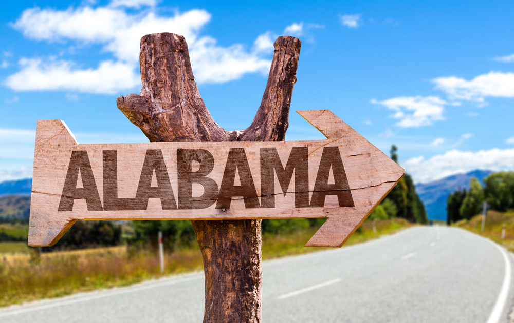
3. Northeast Gulf Coast
The Gulf Coast isn’t somewhere you might imagine is at risk of wildfire. Yet it is. Parts of the area from the Florida Panhandle to southern Alabama may see wildfires during the winter, thanks to all those pine forests & grass. These areas dry out quicker than most people recognize during the winter. Mild temperatures don’t necessarily cause fuel to ignite more slowly in the way that people like to imagine during the winter. It’s one of the reasons fire managers in the area follow winter burns so closely.
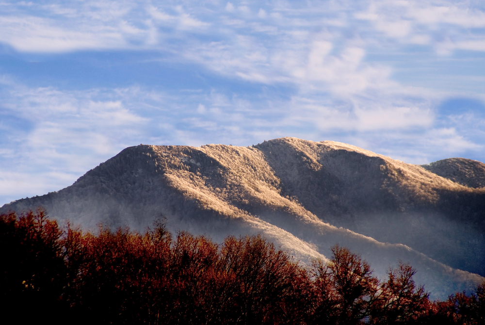
4. Southern Appalachians
Another possible wildfire location is the Southern Appalachians, between North Georgia and the Carolinas’ mountain belt. Light winter moisture & leaf litter work together in quite deadly ways. Once you factor in the understory fuels and steep terrain, it’s not hard to see how fires can move uphill rather quickly. It’s particularly an issue on the south-facing slopes of the mountains. The fuels dry earlier there than most people expect, and it’s a major cause for late-winter fire activity.
5. Northeast Oregon & southeast Washington
Areas with extreme drought can be equally as dangerous as short-term fire outlooks. Parts of northeast Oregon & southeast Washington may suffer from a lingering drought, according to the NIFC. The U.S. Drought Monitor appears to support such a prediction. A long-term lack of moisture may affect soils and vegetation, leading to potential fires. A drought alone is enough to encourage greater chances of flammability in the long run.
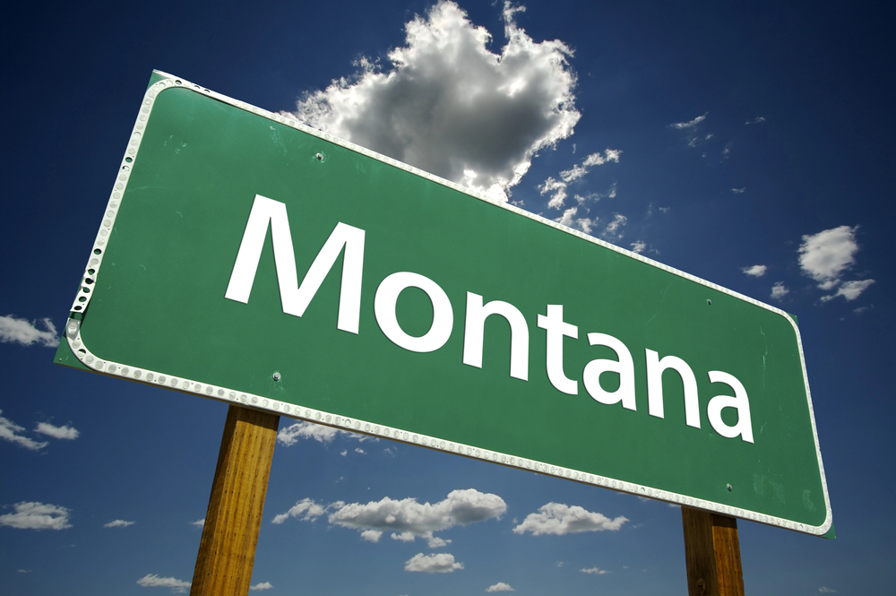
6. The Idaho Panhandle & northern Montana
It’s easy to brush off the northern part of the country as being safe from wildfires. Unfortunately, the NIFC has said that parts of the Idaho Panhandle & northern Montana are at risk from extreme drought. It’s mostly due to the fact that forested fuels respond a lot more slowly, and that makes longer periods of dryness more serious issues. Heat spikes aren’t as relevant a problem over here. No wonder fire scientists with the Northern Rockies Coordination Center are carefully tracking drought conditions as we head into other seasons.
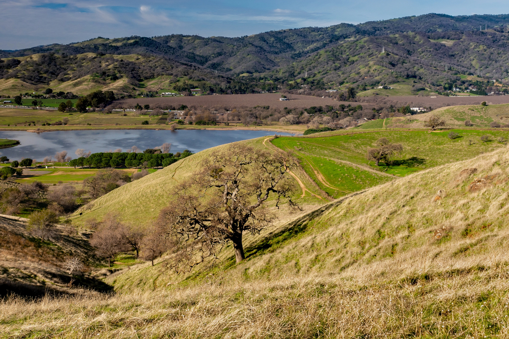
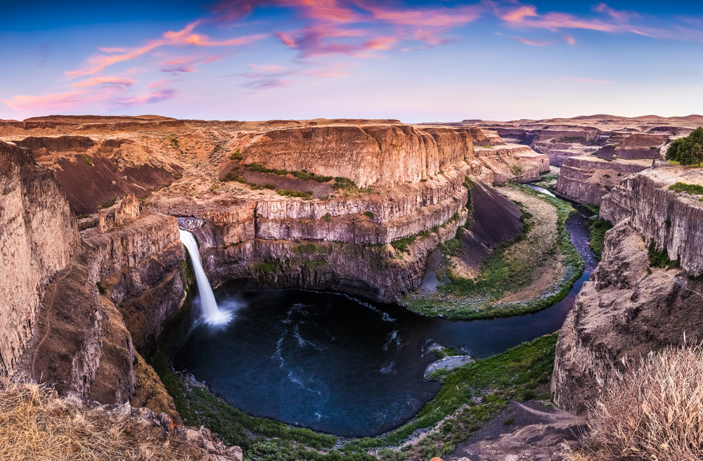
7. California coastal ranges & Central Valley foothills
Not all of the forecast is bad news. Parts of California’s coastal regions are predicted to have lower than normal winter fire potential, mostly because seasonal rain has helped to spread moisture in the area. But fire planners don’t ignore the possible dangers. The Predictive Services Outlook continues to flag coastal ranges & the nearby foothills due to heavy fuel loads. Conditions may change quickly, should rain miss even a little.
8. Ohio Valley & the central Midwest
Another area with a lower-than-normal risk of wildfires is the Ohio Valley to the central Midwest. Fire climatologists at the NIFC have said that moisture levels are likely to limit large-fire growth across the region. But the danger of cured grasses & harvest farm fields is still there. Forest edges won’t disappear because the weather has gotten colder, so state agencies are closely monitoring these fuels during dry stretches. The dangers of winds picking up ahead of passing systems are very real.
The NIFC Outlook doesn’t work as a prediction of specific fires, but rather, a collection of where certain wildfire risks appear to combine more frequently. These risks include climate patterns, fuel conditions & dryness. A single season without wildfires doesn’t erase these signs, nor does a busy season cause them to appear out of thin air.


