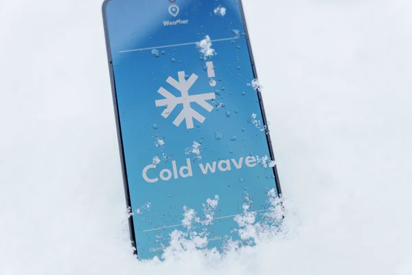
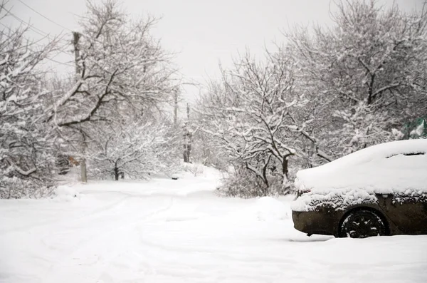
What happens when a single winter pattern extends from the southern Rockies to New England and refuses to hurry along? Winter Storm Fern has brought that type of long-range scenario: a large area of heavy snow at the colder end of the storm, and a brutal line of sleet and freezing rain at the southern end, where outages and tree damage become the focus. But for many families, the hardest part of the ordeal is not the initial blast of weather but the hours and days that follow, when roads become slippery once again, and temperatures remain below freezing. Here are the impacts of the storm that will matter most to everyday life, as well as the key signs to watch for.
1. A footprint large enough to disrupt everyday life far from the heaviest band
Modelers predicted Fern would deliver snow and/or ice to 33 states, impacting more than 230 million people. Even in areas where snowfall is not significant, the effects of a storm of this magnitude are felt: delayed deliveries, closed schools, and cancelled appointments that appear well beyond the heaviest areas of snowfall. The National Weather Service issued winter storm warnings from the southern Rockies to the East Coast, which translates to many metropolitan areas being impacted by dangerous roads, reduced emergency services, and overwhelmed public services.
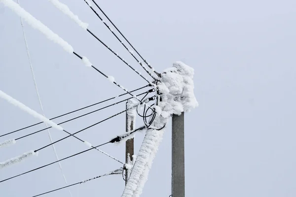
2. Ice corridors where a quarter-inch can make all the difference
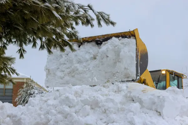
Snow can be plowed, but ice clings. Forecasters often point to a quarter-inch or more of ice accumulation as a threshold at which tree limbs begin to fall and power lines become too heavy. During Fern, two main ice corridors were identified: one from Texas to the Mid-South and another from northeast Georgia to the Carolinas and Virginia. In these areas, roads become hazardous quickly, but the larger problem is what occurs after the precipitation stops, when crews may have difficulty accessing the damage and repairs may grind to a halt as everything is locked in by the cold.
3. Sleet “piling up” as its own type of danger
Sleet is often relegated to a side role between snow and freezing rain, but Fern’s situation was conducive to an excessive amount of sleet. When sleet falls for an extended period, it can act like ball bearings on the roads and provide additional weight to already stressed trees and power lines from glaze ice. This has been a contributing factor to broken tree limbs and roads being obstructed in the southern Plains and Mid-South regions.
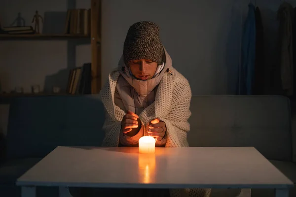
4. Power failures that drag on because the cold just won’t leave
Fern’s punch has been exacerbated by a strong feed of arctic air that is expected to arrive during and after the storm. Once the temperatures remain below freezing for the entire day, the melting process comes to a standstill, and ice continues to line the wires, transformers, and streets. Outages also become life-threatening for homes that depend on electric heat or electric-powered medical equipment, as warming up becomes more than just waiting for the sun. A winter storm response plan typically relies on the same fundamentals: charged phones, safe heat, and enough food and water to stay at home if the roads are impassable.
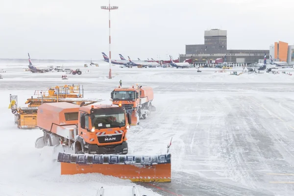
5. Air travel failures that cascade for days
If the storm affects more than one major hub, airline recovery becomes a logistics issue that will last longer than the snowfall. In the case of Fern, over 10,200 U.S. flights were canceled in one day, as reported by FlightAware, as quoted in national news, with some airports having cancellation percentages over 90 percent. Even if a passenger is leaving from an area that is not affected by the weather, they can still be left stranded if their plane, crew, or connecting flight is stuck in the storm area.
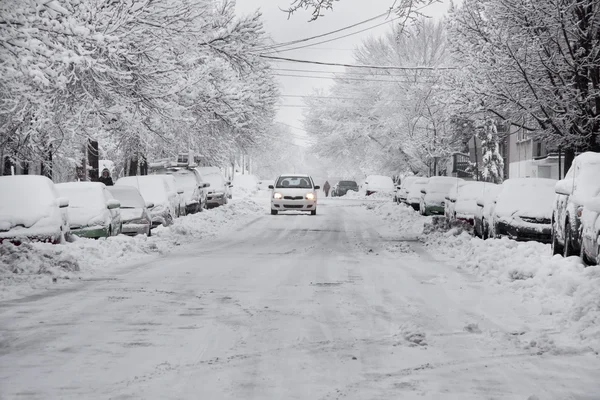
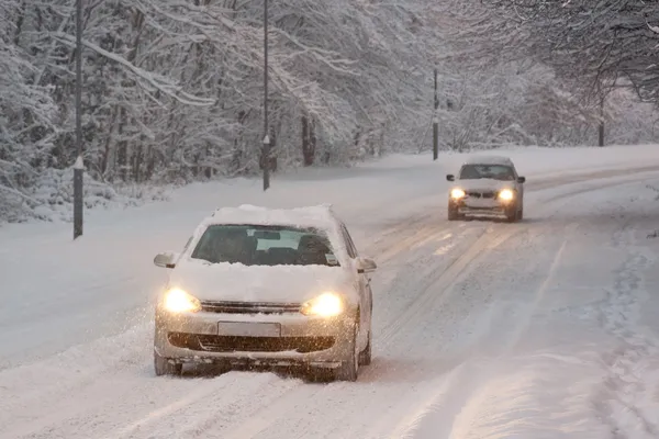
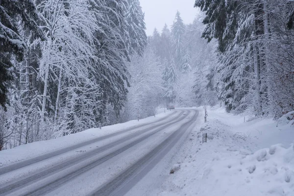
6. Driving risk that peaks on “ordinary” roads, not just highways
One of the most counterintuitive hazards comes after the plows have made their first pass: a layer of glaze refreezes at night and turns residential streets into ramps. According to the National Weather Service, “Each year, an average of more than 5,000 fatalities and more than 418,000 injuries occur nationwide in weather-related vehicle crashes. ‘TAKE IT SLOW IN THE SNOW’ because black ice is hard to spot.” This advice is most relevant when temperatures are near freezing, when roads look wet but are actually slick as glass.
7. Refreezing after sunset: the hidden “second round”
It often seems as if winter storms are over when the precipitation stops, but Fern’s temperature cycle means that nights are the issue. The warming effect of the sun during the day can make surfaces soft, and then the cold air moves back in at night, entombing the meltwater in a new layer of ice. This cycle of ice and snow can increase the potential for slip-and-fall accidents for pedestrians, raise the number of small car accidents, and make it difficult for utilities to restore power when they need a solid surface to work on.
8. Why one city gets slammed while another wakes up dry
Fern has also pointed out the reality of forecasting that always surprises people every winter: “A place can be ‘in the snow zone’ and have bare pavement to start the day.” In some regions, the low-level air was so dry that it caused the evaporation of precipitation before it reached the ground, and then the conditions changed very quickly once the atmosphere was moistened. The lesson is simple: just because there is calm early, it doesn’t mean that the danger has passed, especially if the larger storm shield is still approaching and if the temperatures are still low enough for any new precipitation to freeze on contact.
The most damaging aspects of Fern have been where the hazards have overlapped: ice that is damaging to infrastructure, snow that is blocking roads, and cold temperatures that are not conducive to rapid thawing. In storms like this, the recovery phase is part of the story. The best indicators are still local alerts, the type of precipitation expected at ground level (snow, sleet, or freezing rain), and whether temperatures will remain below freezing overnight, which determines how long the storm will stick around after the last snowflake falls.


