The Cascadia Subduction Zone is not a distant abstraction for the Pacific Northwest. It is a 700 mile fault running from Northern California to British Columbia, capable of producing one of the most disruptive natural hazards in the United States.
For readers in coastal Washington, Oregon, and Northern California, the most useful question is not whether the risk exists. It is how to recognize the conditions, consequences, and preparedness gaps that make this hazard so serious.

1. The fault has a long history of giant ruptures
Cascadia has produced repeated major earthquakes over thousands of years, which makes it different from a one-off or poorly understood threat. Oregon emergency officials note 43 earthquakes in the last 10,000 years within this fault system, and the last major event struck in 1700 at about magnitude 9.0. Geological records, Native oral histories, and tsunami evidence recorded in Japan all support that timeline.
This history matters because it shows that the fault is capable of the largest category of earthquake, not just moderate shaking.
2. A full Cascadia event would not be brief
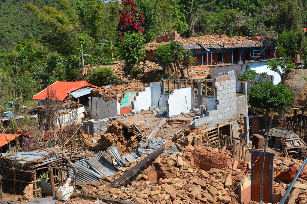
One of the clearest warning signs of extreme risk is the expected duration of shaking. State guidance says a major Cascadia earthquake could bring five to seven minutes of shaking along the coast, with inland intensity decreasing by distance. That length of motion raises the odds of structural damage, landslides, broken utilities, and blocked roads long before tsunami impacts are counted.

3. The coast may have only minutes before tsunami waves arrive
In many coastal areas, the earthquake itself is the tsunami warning. Emergency guidance stresses that people near the shoreline should move to higher ground or inland as soon as the shaking allows, because the first waves may arrive very quickly. Washington’s evacuation resources include maps that estimate walking times and wave-arrival windows, underscoring how narrow the margin can be for communities on the outer coast. That leaves little room for hesitation.
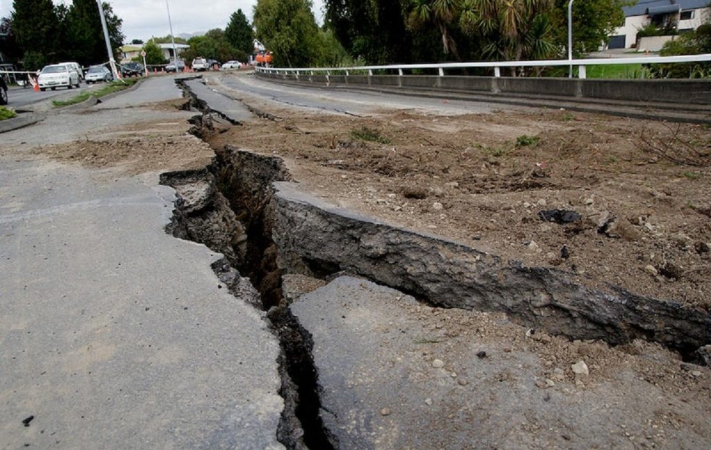
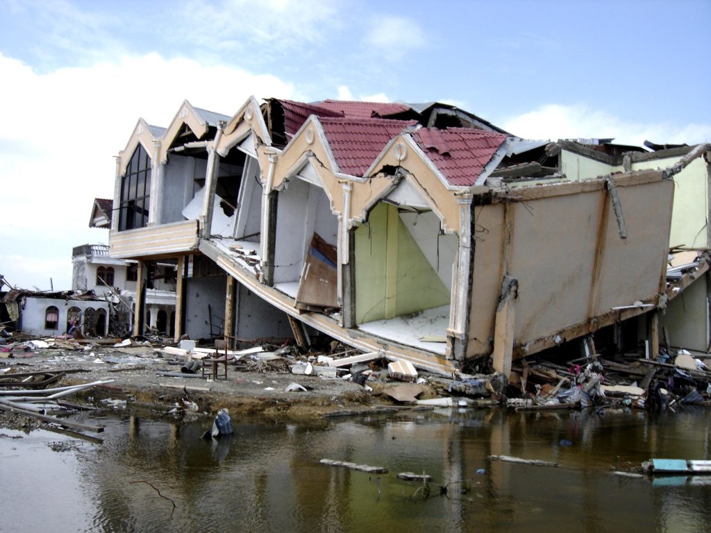
4. Some land could drop permanently during the quake
A Cascadia megathrust earthquake is not only a shaking event. It can also reshape the coastline. The main risk pattern described by researchers includes immediate land subsidence, with some coastal areas dropping several feet. That change can expand flood exposure right away, push saltwater farther inland, and turn places that were previously usable into long-term hazard zones. Unlike seasonal flooding, this shift would be sudden and irreversible on a human timescale.
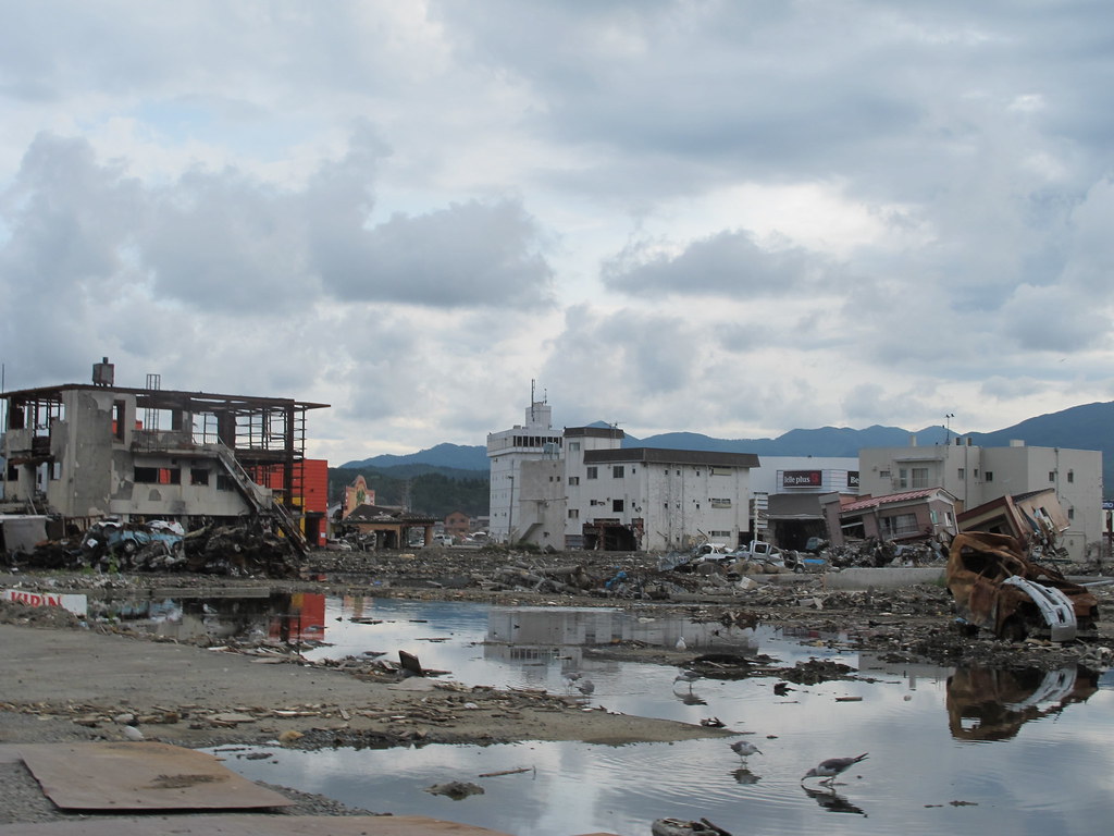
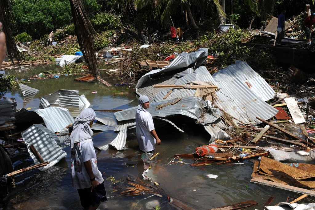
5. Tsunami losses could be enormous even without counting quake damage
Washington’s latest statewide tsunami loss estimate found that a M9.0 Cascadia tsunami could cause 50,000–65,000+ casualties within the first hour in mapped inundation zones from tsunami effects alone. The study used updated census and building data and accounted for visitors, employees, lodging populations, and on-foot evacuation time to high ground. That makes the figure less of a headline statistic and more of a planning benchmark for what happens when large populations are trapped in low-lying areas with limited escape time.
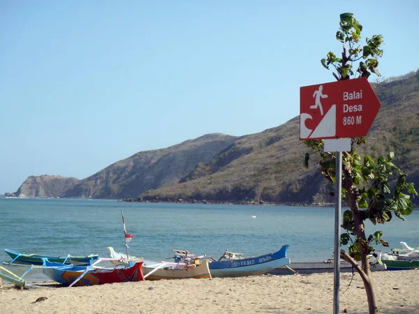
6. Coastal communities still have route and signage gaps
Preparedness is uneven across the region. Washington has built out more than 1,050 miles of mapped evacuation routes and installed tsunami wayfinding signs, but state materials also say major gaps remain because of funding and capacity limits. In unfamiliar towns, a route can stretch a mile or more with multiple turns, which makes clear signage and practiced evacuation especially important for visitors and seasonal populations.
7. Official maps show how location-specific the danger is
The risk is not evenly distributed, and that is why evacuation maps matter so much. Washington has published a growing library of pedestrian evacuation maps for places including Neah Bay, La Push, Taholah, Westport, Ocean Shores, Long Beach, Raymond, and South Bend. The availability of these local tools reflects a key reality: survival often depends less on countywide warnings than on whether a person already knows the nearest reachable high ground from home, school, work, or a hotel.
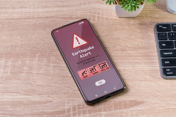
8. Warning technology is improving, but it does not replace evacuation
ShakeAlert’s GFAST upgrade improves magnitude estimates for very large earthquakes by adding geodetic data from ground-displacement sensors. That matters because traditional seismic stations can struggle to distinguish the biggest earthquakes quickly enough, while geodetic measurements capture the broader ground movement that accompanies major ruptures. Public alerts may look the same, but the system can define the size of a major event more accurately and alert a wider region. Even so, on the coast the guidance remains unchanged: once shaking stops enough to move, evacuation comes first.

9. The region may be on its own for weeks afterward
Oregon emergency guidance says residents should prepare to be without services and assistance for at least two weeks, if not longer, after a Cascadia event. That expectation reflects likely damage to transportation, utilities, communications, healthcare access, and supply chains. It also explains why household planning, go-bags, local drills, and hardened evacuation routes are treated as essential pieces of resilience rather than optional extras.
Cascadia risk is easier to understand when it is broken into visible signals: a fault with a proven record, long shaking, short tsunami timelines, sinking coastlines, exposed communities, and a recovery period measured in weeks.
For Pacific Northwest residents, those signs point to one conclusion. The most meaningful warning is not a single siren or headline, but the region’s growing body of evidence showing that preparation has to happen before the ground moves.


