
The Cascadia Subduction Zone remains one of the most consequential natural hazards facing the Pacific Northwest. Running offshore from Northern California to British Columbia, this fault system has the capacity to produce a magnitude 9-class earthquake, prolonged shaking, and a tsunami that could reach shore in minutes.
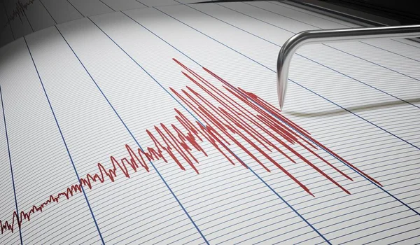
What draws scientific attention is not just the scale of the threat, but the growing effort to understand what might come before it. Researchers still do not claim reliable earthquake prediction, yet several signals, patterns, and risk markers now shape how Cascadia is studied and how communities prepare.
1. A fault that has produced giant earthquakes before
Cascadia is not an abstract risk. Geological records, Native oral histories, and Japanese tsunami accounts all point to a major rupture in January 1700. The offshore fault extends roughly 700 miles, and scientists have documented many large prehistoric earthquakes along this margin over thousands of years. That long history matters because it places today’s quiet period in context. The absence of recent catastrophe does not mean the system is inactive; it means stress continues to accumulate where the Juan de Fuca Plate is being forced beneath North America.
2. Long shaking is built into the hazard
A full-margin rupture would not resemble a short jolt. Oregon emergency guidance says coastal areas could experience about five to seven minutes of shaking, with intensity tapering farther inland. Scenario planning has long treated this duration as one of the disaster’s defining features because extended motion can trigger structural failure, landslides, liquefaction, and transportation collapse all at once. That is one reason emergency officials describe Cascadia as a systems-level threat rather than a single event.
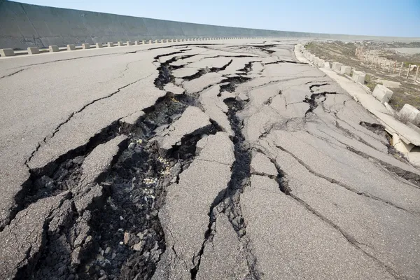
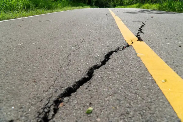
3. Coastal land could drop in minutes
One of the most disruptive signs in Cascadia science is the expectation of sudden subsidence. During the 1700 event, parts of the coast dropped several feet. Newer modeling has reinforced the concern that land near the shoreline could sink abruptly, permanently changing flood exposure for communities, wetlands, roads, and utilities. Unlike gradual sea-level rise, this would happen almost instantly. The coastline itself could be redrawn before the tsunami sequence is over.
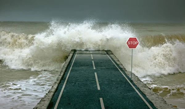
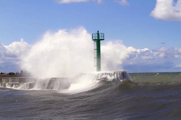
4. Tsunami danger depends on speed as much as height
Cascadia warnings often focus on wave heights near 100 feet, but researchers increasingly emphasize arrival time and local seafloor structure. Some studies suggest certain coastal stretches may see somewhat smaller or slower tsunami behavior than older assumptions implied, while others remain exposed to very fast, severe inundation depending on offshore fault geometry. That nuance does not erase the danger. It sharpens it, because evacuation planning has to match local reality rather than one blanket number.
5. Smaller quakes may matter, but they are not a forecast
Scientists are studying whether a moderate earthquake near a subduction zone can raise the likelihood of a much larger rupture soon after. That question gained attention through comparisons with Japan’s Nankai system, where a smaller quake prompted a rare megaquake advisory. Washington state seismologist Harold Tobin described that kind of scenario as “Exactly what might keep me up at night.” The difficulty is that a smaller earthquake may slightly raise risk without clearly signaling what comes next. A warning system built on that uncertainty would have to balance urgency against the danger of false alarms.
6. Slow-slip events are one of the most watched clues
Some faults release energy not with violent shaking but with a silent, creeping movement known as slow slip. Researchers have linked these episodes to major questions about how subduction zones behave before large earthquakes. In New Zealand, one such event led scientists to estimate that risk had risen by as much as 18 times, though no major rupture followed. For Cascadia, the problem is not lack of interest but lack of visibility. Scientists say the region still needs better seafloor monitoring to tell the difference between ordinary fault motion and something more concerning.

7. Silent ground movement may appear just before big quakes
A broader line of research has found that very subtle ground motion can show up shortly before some large earthquakes. One analysis of global data found a measurable acceleration in the final two hours before major earthquakes, even though the motion was too small to feel. This is one of the most intriguing developments in earthquake science. It is also one of the easiest to overread. Researchers and outside experts alike have stressed that detecting a pattern in aggregated data is not the same as being able to predict a specific event in real time.
8. The fault may not break the same way everywhere
Recent imaging has added a more detailed picture of Cascadia’s internal structure. Researchers now describe the subduction zone as divided into sections that may rupture together or separately, and newer work has also identified tears in the downgoing plate that could act as boundaries in some earthquakes. That could influence how far a rupture spreads and how severe shaking becomes in different regions. According to reporting on tears in the Juan de Fuca plate, some scientists think these boundaries may sometimes limit rupture, though they do not remove the overarching megathrust risk.

9. Preparedness gaps reveal where warning signs matter most
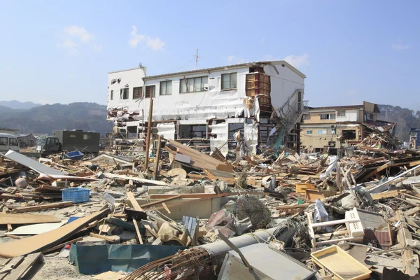
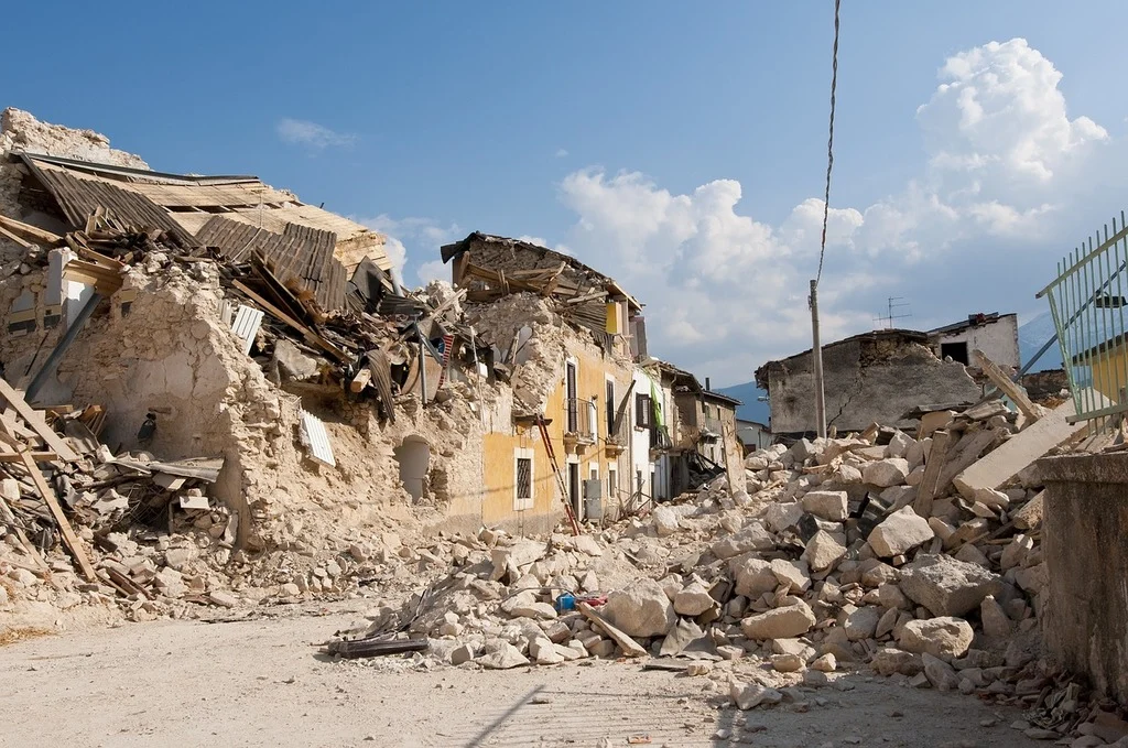
The most practical signal may be social rather than geological: many communities are still not ready. Scenario planning has projected around 14,000 deaths, more than 100,000 injuries, and weeks of isolation for some areas after a major Cascadia event. Residents are widely advised to be self-sufficient for at least two weeks.
At the local level, counties are mapping neighborhood assets, identifying people who will need extra help, retrofitting bridges and hospitals, and creating resilience hubs. Those efforts matter because even the best warning sign would offer limited value if evacuation routes, communications, and community support systems are not in place.
Cascadia science is becoming more precise, but it has not crossed into certainty. The region’s warning signs are best understood as clues that improve planning, not a countdown clock. For the Pacific Northwest, that distinction is central. The most useful response to uncertainty remains the same: stronger infrastructure, clearer evacuation plans, and households prepared to endure the long aftermath of a very short geological event.


