The Cascadia Subduction Zone does not announce itself in daily life. It lies offshore, stretching along the Pacific Northwest, storing strain where one tectonic plate pushes beneath another until the fault slips in a single violent release. For residents of Oregon, Washington, northern California, and nearby coastal communities, the threat is not defined by one dramatic image alone. It is a chain of consequences: long shaking, sudden land drop, tsunami arrival, broken lifelines, and recovery measured in weeks and years rather than hours. The science has also become more detailed, showing both how serious the hazard remains and where older assumptions are being refined.
1. The fault is long enough to affect an entire region
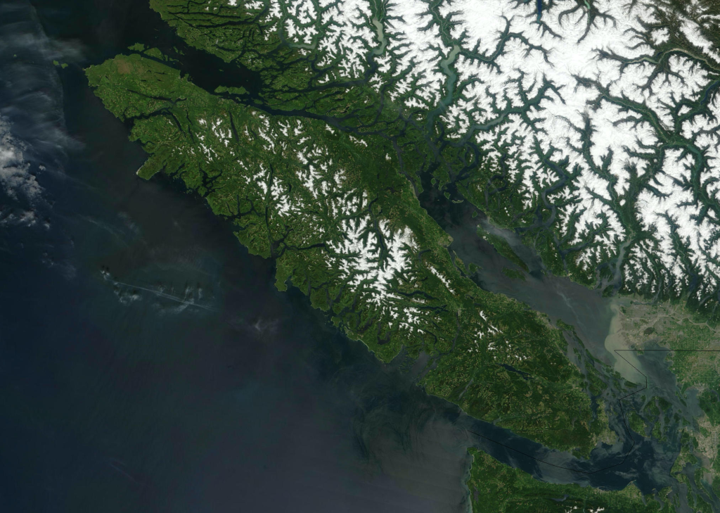
The Cascadia Subduction Zone runs about 700 miles from northern California to British Columbia, with the broader megathrust extending roughly 1,000 kilometers long. This is not a local fault with local consequences. It is one of the few tectonic settings on Earth capable of producing earthquakes above magnitude 8.5, which is why a full-margin rupture remains such a defining threat for the Pacific Northwest.
2. The last giant rupture is pinned to a winter night in 1700
The region’s most recent great megathrust earthquake struck on January 26, 1700, with an estimated magnitude between 8.7 and 9.2. Its timing was reconstructed through a rare scientific pairing: coastal evidence in North America and the Japanese record of an orphan tsunami that crossed the Pacific without any local shaking in Japan. Tree-ring studies and submerged “ghost forests” later confirmed that coastal land dropped abruptly during the winter of 1699-1700.
3. Oral histories hold some of the clearest human evidence
Long before modern seismic networks, Indigenous communities preserved accounts of a night of violent shaking and water surging inland. These traditions, recorded across coastal peoples from Vancouver Island to southern Oregon, describe collapsing houses, villages swept away, and survivors reaching higher ground only in time. At Pachena Bay, one account places the disaster on a winter evening after people had gone to sleep, closely matching the scientific reconstruction of the 1700 event.
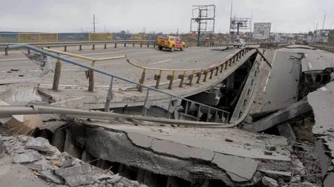
4. The shaking could last for minutes, not seconds
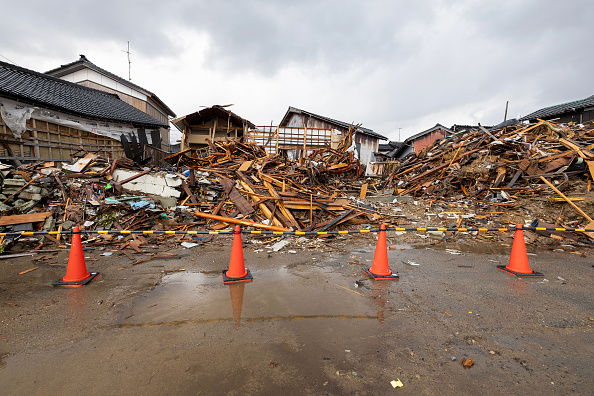
In a full Cascadia rupture, coastal areas could face five to seven minutes of strong motion, with severe shaking felt far inland as intensity drops with distance. That matters because long-duration shaking increases the odds of structural failure, landslides, bridge damage, and widespread disruption to utilities. In urban areas, the greatest danger may come less from the tsunami than from vulnerable buildings, transportation systems, and the sheer duration of the ground movement.
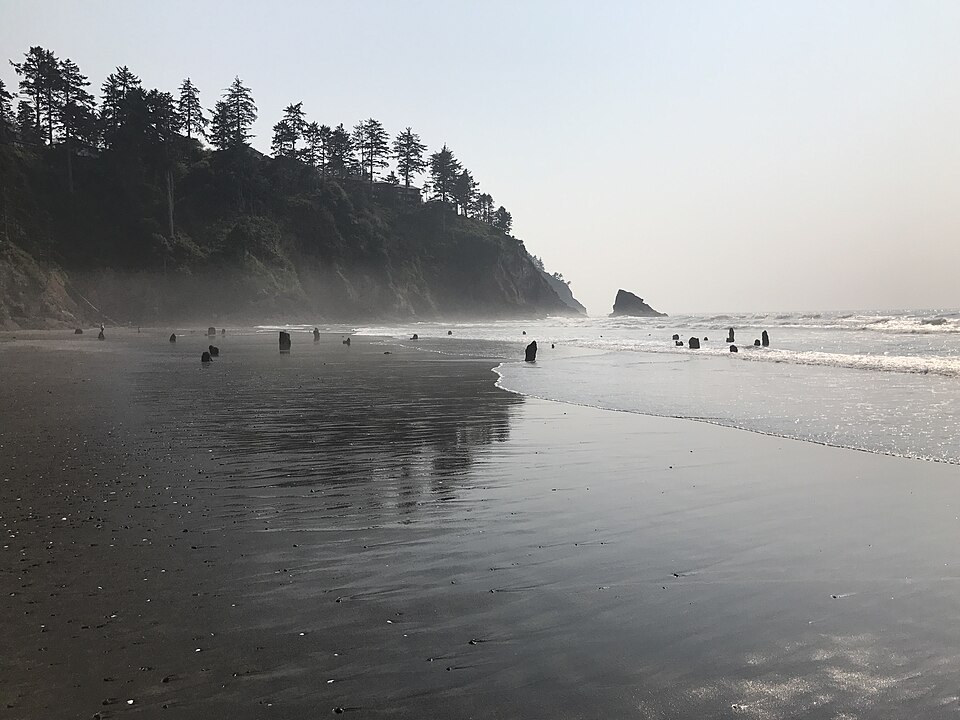
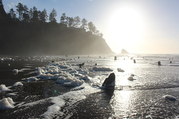
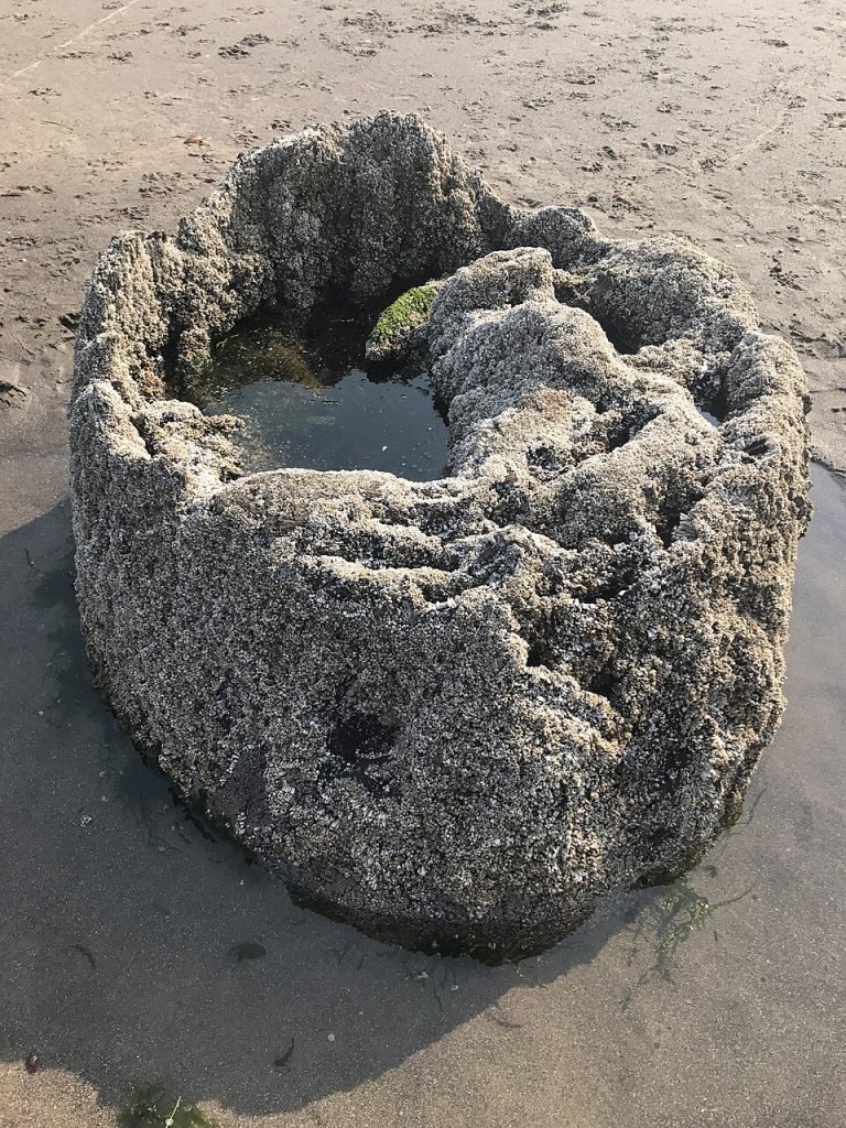
5. The coastline can sink almost instantly
One of the least intuitive dangers is subsidence. During the 1700 event, parts of the coast dropped several feet in seconds, killing coastal forests with saltwater intrusion and leaving behind the ghost forests that still anchor modern research. Scientists and emergency planners continue to treat this as a major concern because it permanently changes the shoreline. Roads, neighborhoods, wetlands, and low-lying facilities do not just flood during the event; some can be left at a lower elevation afterward, with tidal water reaching places it did not reach before.
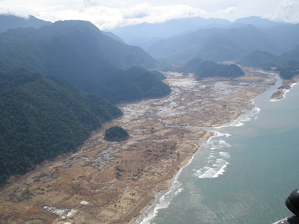
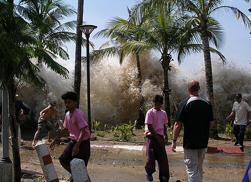
6. Tsunami danger remains severe even as models become more precise
For years, planning scenarios often assumed a continuous offshore structure that could amplify tsunami generation along much of Cascadia. New imaging has shown no evidence that the megasplay fault runs the entire length of the zone, which may reduce expected wave size or arrival speed in some stretches of coast. That refinement does not erase the hazard. Oregon still warns of tsunamis up to 100 feet in some areas, and many communities would have only minutes to move uphill after shaking stops.
7. The fault is more complex than older hazard maps assumed
New seafloor imaging has replaced decades-old assumptions with a more detailed picture of Cascadia’s structure. Researchers now describe a megathrust divided into multiple segments rather than one simple continuous plane, and some sections appear more likely than others to support especially large ruptures. One Washington-linked segment drew attention because its geometry may place inland cities closer to the earthquake-generating interface than once believed, sharpening concern about strong shaking across the central Puget Sound corridor.

8. Recovery plans assume isolation, not quick rescue
Preparedness guidance in Oregon warns that many areas could be without services and outside assistance for at least two weeks. That expectation changes the meaning of readiness. Hospitals, wastewater systems, ports, bridges, fuel distribution, and local roads all become part of the survival equation, especially in coastal places that could be cut off by landslides, bridge failures, or inundation. The hazard is therefore not only seismic; it is logistical, medical, and social at the same time.

9. The most effective life-saving advice is also the simplest
Emergency agencies and seismic networks repeat a consistent message: secure heavy household hazards before an earthquake, know evacuation routes, and if the shaking is strong near the coast, go to high ground immediately. Guidance from regional scientists also emphasizes Be 2 Weeks Ready planning, because survival may depend on what households and neighborhoods can do before outside help arrives. In tsunami zones, waiting for perfect information is not the recommended response; the shaking itself is the warning.
The Cascadia threat remains one of the most consequential natural hazards in the United States because it combines rare timing with extreme impact. It is a geological story written in submerged forests, ocean-floor strain, and memories passed down for generations. What has changed is not the seriousness of the danger, but the clarity of the picture. Scientists now understand more about how Cascadia is segmented, how earlier tsunami assumptions may need adjustment, and why preparation still carries the greatest weight long before the ground moves.


