The Cascadia Subduction Zone sits offshore like a hidden seam in the earth, stretching from northern California to British Columbia. It rarely announces itself. That quiet is part of what makes it so unsettling. Scientists describe Cascadia as one of the most consequential natural hazards in the United States because it can produce a full-margin megathrust earthquake in the magnitude 9 range, followed by a near-field tsunami and abrupt changes to the coastline. The danger is not limited to shaking. It includes flooding, isolation, infrastructure failure, and long recovery periods that could redefine daily life across parts of the Pacific Northwest.
1. Cascadia is long enough to generate one of Earth’s largest earthquakes
The fault spans roughly 600 to 700 miles offshore, where the Juan de Fuca Plate is sliding beneath North America at about 4 centimeters per year. When friction keeps parts of that boundary locked, strain builds over time until it is released in a megathrust rupture.
According to USGS linked regional science summaries estimating a 10–15% chance of a full-margin M9 event in 50 years, Cascadia is capable of earthquakes above magnitude 9. Geological evidence indicates repeated great quakes over thousands of years, making the zone unusual not because it lacks danger, but because the most destructive events arrive on long intervals.
2. The last great rupture left evidence on two sides of the Pacific
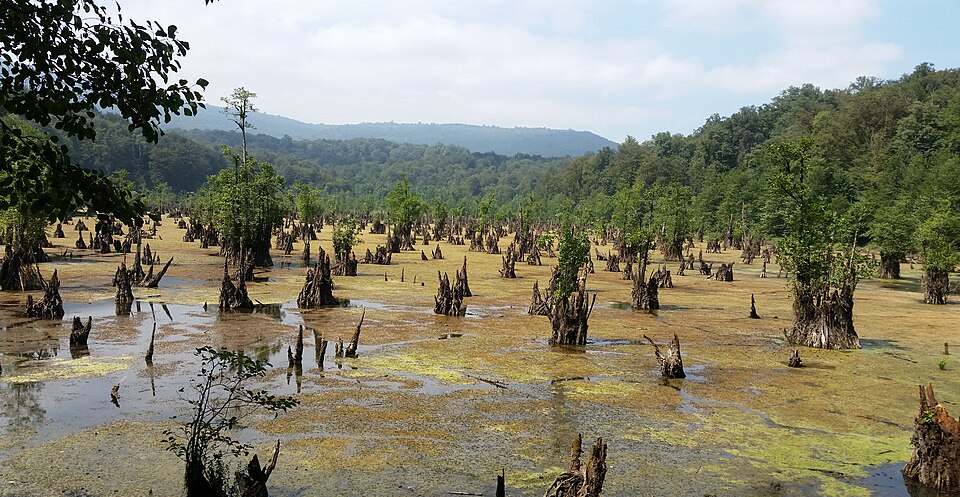
The most recent great Cascadia earthquake struck on January 26, 1700. Researchers tied it to an “orphan tsunami” recorded in Japan, where waves arrived without any locally felt earthquake. On the Northwest coast, drowned marshes, sand deposits, and “ghost forests” of dead cedar and spruce helped confirm the timing. Indigenous oral histories across the region also preserve accounts of nighttime shaking, flooding, and villages destroyed by water, adding human memory to the geologic record.
3. Shaking could last long enough to turn escape into a race
A full-margin rupture would not resemble a short jolt. Oregon emergency guidance says coastal areas could experience five to seven minutes of shaking or rolling, with stronger impacts nearer the coast. That duration matters. Long shaking increases the odds of structural damage, falling debris, landslides, and liquefaction, and it can leave people disoriented just as tsunami evacuation becomes urgent. In many coastal communities, the safe response after strong shaking is immediate movement to high ground, not waiting for a formal warning.
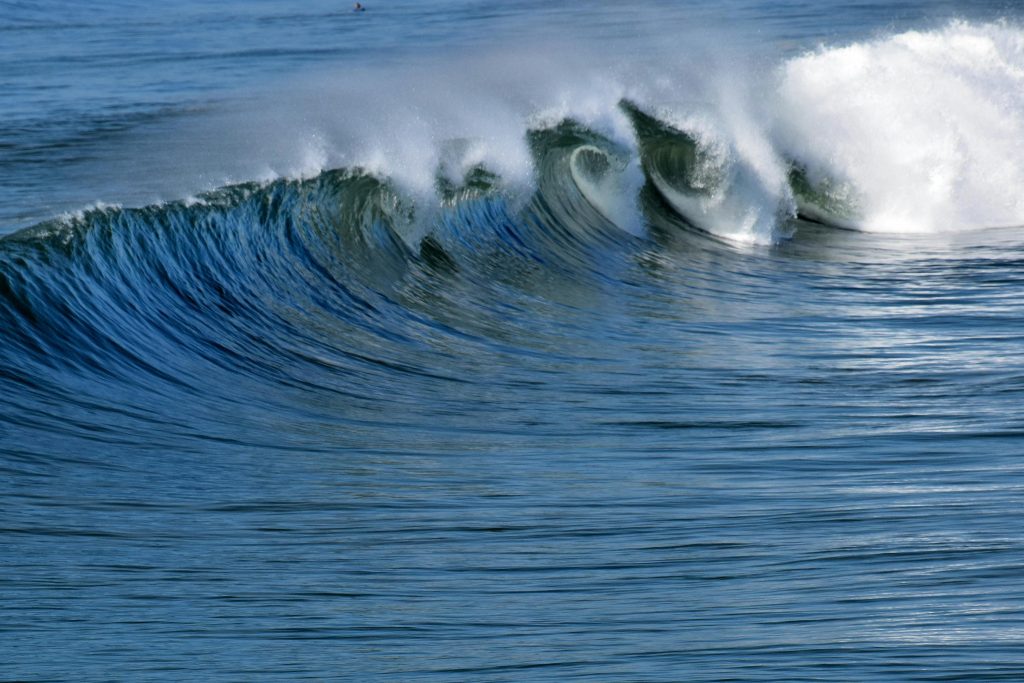
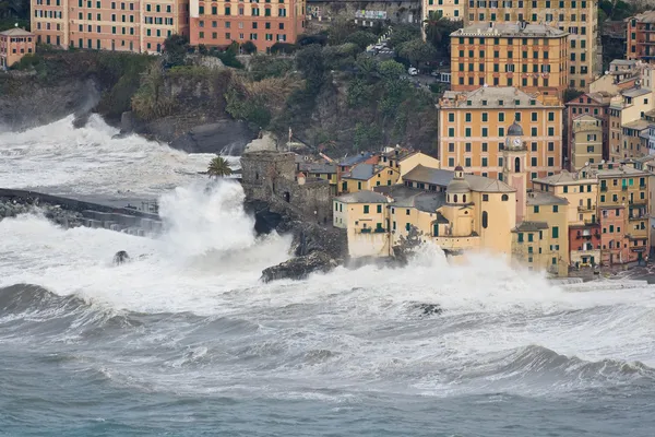
4. The tsunami threat may arrive in minutes, not hours
For communities near the source, Cascadia is a local tsunami hazard. Washington’s geological guidance notes that local tsunamis can arrive in less than an hour and sometimes in just minutes, leaving little margin for hesitation.
In extreme cases, tsunamis near their source can exceed 100 feet, and even smaller waves can drive destructive flooding far inland. The first wave is not always the largest, and dangerous currents can continue for hours. A shoreline that first appears to drain back can become more dangerous, not less, because that drawdown may signal the arrival of a larger surge.
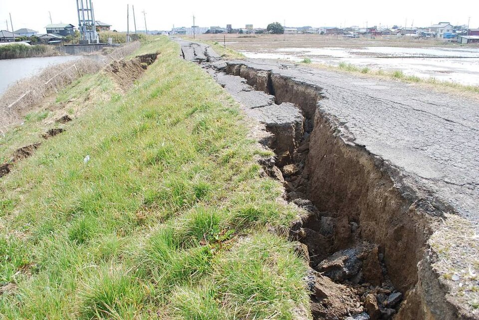
5. Parts of the coast could drop permanently after the quake
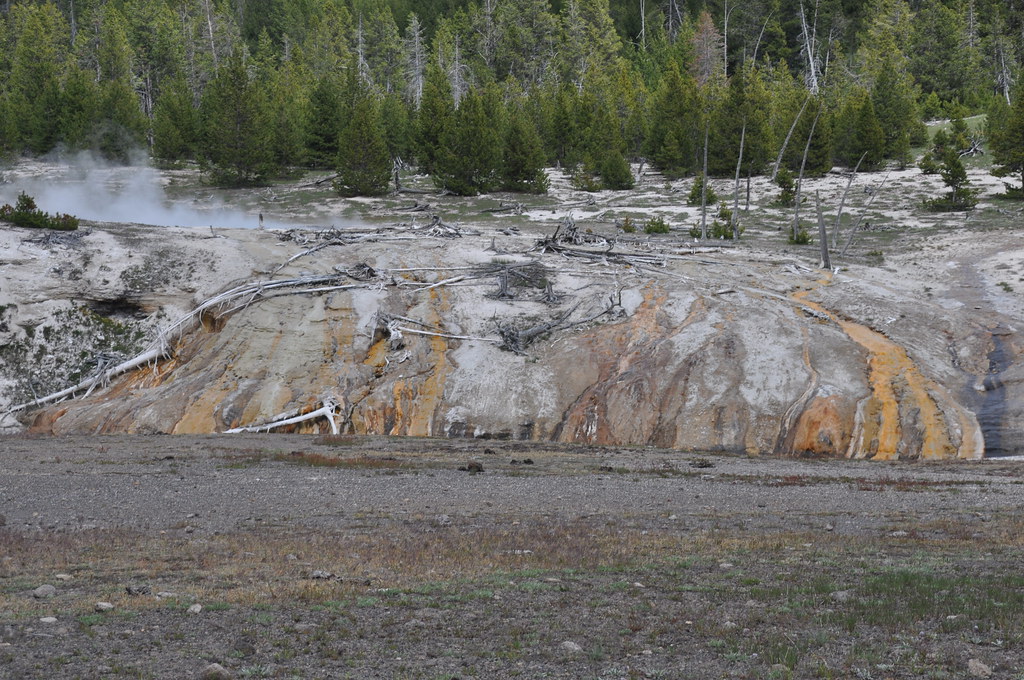
One of the least intuitive risks is that the land itself can sink. Past Cascadia events and modern hazard studies indicate sudden coastal subsidence is part of the megathrust pattern. That means neighborhoods, roads, estuaries, and farmland may end the day at a lower elevation than where they started. Saltwater can move into places that were previously above reach. Unlike seasonal flooding, this is not a temporary high-water episode. It is a rewritten coastline, with consequences for housing, wetlands, transportation, and long-term habitability.
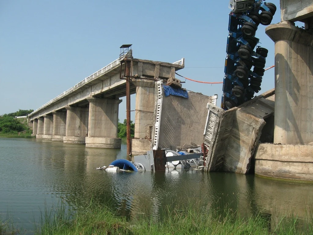
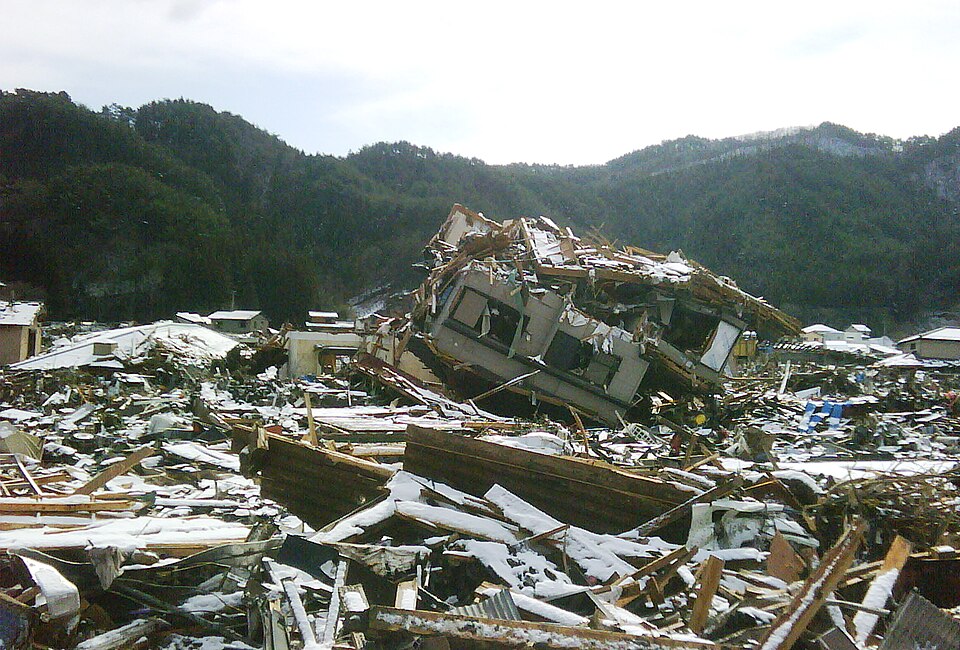
6. The losses would not stop at the shoreline
Cascadia is often pictured as a coastal catastrophe, but inland metros would also face severe disruption from shaking, bridge damage, utility failure, and mass shelter needs. A Portland region impact study projected as many as 27,000 injuries, 85,000 people needing shelter, and $37 billion in building damage across three counties.
Those estimates apply to only part of Oregon. Across the broader region, damage to ports, highways, hospitals, schools, pipelines, and communications systems would likely ripple well beyond the immediate disaster zone. Supply chains and emergency access could be strained for weeks.
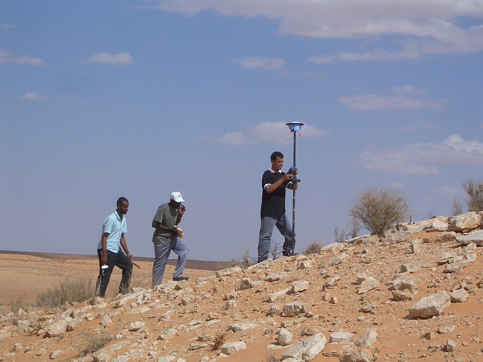
7. Scientists are refining the hazard, not downgrading it
New research is changing how Cascadia is understood. Offshore imaging has shown the megathrust is divided into at least four segments, and recent monitoring suggests some portions may behave differently from others. A 2026 study found 13 years of offshore strain data showing different behavior between northern and central Cascadia, including fluid movement and signs of slow slip in one region. At the same time, a 2024 study raised questions about how some ancient earthquake intervals are reconstructed from turbidite deposits. Together, those findings do not erase the threat. They show that Cascadia is scientifically active terrain, where the broad hazard is well established even as the details of rupture patterns are being sharpened.

8. Preparedness gaps are still part of the story
Hazard maps and scientific models are only one side of the equation. The other is whether communities have evacuation routes, retrofitted schools, resilient bridges, backup communications, and plans for residents who cannot self evacuate quickly.
Some tribal nations and coastal communities have already moved critical facilities uphill or built vertical evacuation structures. Elsewhere, the challenge remains uneven. Areas with limited road access, older buildings, or medically vulnerable populations face tighter timelines and steeper recovery hurdles.

9. Small actions before a quake can change outcomes after it
Preparedness advice for Cascadia is remarkably consistent: secure heavy items, build emergency supplies, know local evacuation routes, practice earthquake drills, and expect delayed outside help. Oregon’s emergency guidance warns residents to be ready to function without services for at least two weeks.
That practical framing matters because Cascadia is not only a geologic story. It is a household story, a neighborhood story, and a planning story. The earthquake itself cannot be scheduled or prevented, but the level of disruption people face afterward is shaped long before the ground moves.
The Cascadia threat remains compelling because it combines rare timing with enormous consequence. It is quiet offshore, yet deeply embedded in coastal history, Indigenous memory, building codes, and emergency planning. The central lesson is simple: the Pacific Northwest does not need a reminder that Cascadia exists. It needs enough public understanding that when the warning arrives as shaking, people already know what the landscape can do next.

