
Along the Cascadia coast, tsunami safety is not mainly a question of spotting water. It is a question of time, terrain, and decisions made under pressure.
The region’s risk is shaped by the Cascadia subduction zone, a fault capable of producing major earthquakes and local tsunamis that can reach shore fast. In many coastal places, the safest response is not waiting for instructions but recognizing the danger early and moving immediately to high ground.
1. Waiting for an official warning after strong shaking
A local tsunami may arrive in minutes, not hours. Washington hazard guidance notes that local tsunamis can strike in less than an hour and sometimes in just minutes, leaving little time for alerts to do the work that personal action must do first.
That is why strong or prolonged ground shaking is treated as a natural warning sign. If the shaking is hard to stand through, coastal residents and visitors are expected to head inland or uphill right away. Sirens, texts, and broadcast alerts remain important, but they are backups in a near-field event, not the first trigger for escape.

2. Assuming there will be enough time to drive
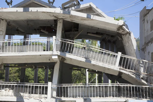
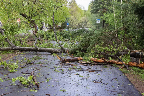
Cars feel faster until everyone has the same idea. After a major earthquake, damaged pavement, blocked intersections, bridge failures, and stalled traffic can turn evacuation routes into traps.
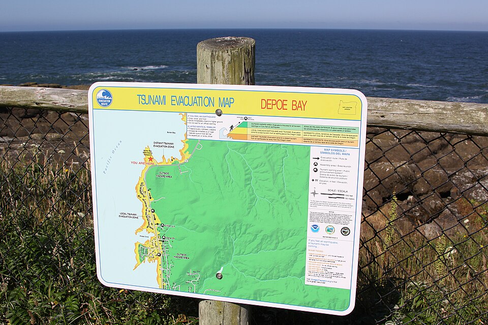
Oregon and Washington preparedness materials repeatedly stress that walking may be the fastest option. Some of Washington’s newer evacuation maps even estimate walking times to safety, reflecting the reality that communities may have only 10 to 15 minutes in some areas, and 30 to 35 minutes in others. Those maps assume a pace around 2.5 mph, which means anyone who moves more slowly needs even more of a head start. A delayed departure can erase that margin quickly.
3. Trusting one familiar route and never learning another
An evacuation plan that depends on a single road is brittle. Earthquakes can damage bridges, crack hillsides, scatter debris, and cut off exactly the path people expected to use.
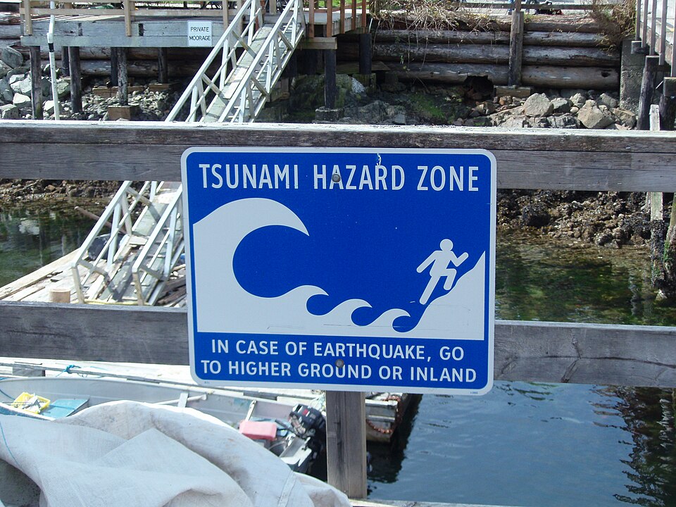
That is why community guidance emphasizes studying local inundation maps before an emergency and practicing more than one route from home, school, work, or lodging. Coastal hazard planning is built around tsunami hazard zone maps because local topography changes everything. A route that looks simple on an ordinary day can fail after several minutes of shaking.
4. Underestimating how far inland or uphill safety may be
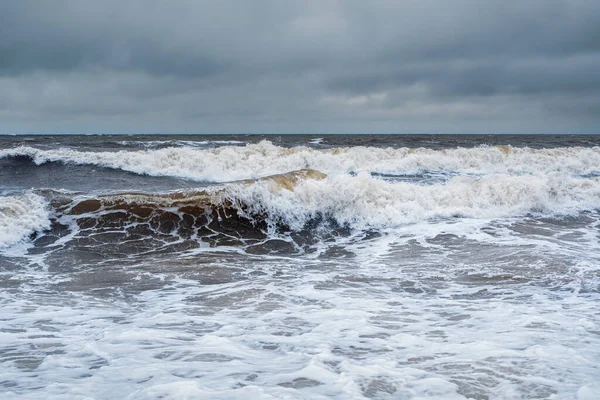
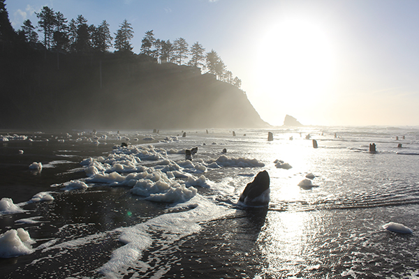
Tsunamis are not ordinary breakers rolling onto the beach. They are long, powerful surges that can flood low-lying areas far beyond the shoreline and move faster than a person can run once they enter shallow water.
Washington’s geologic guidance explains that tsunami flow near shore can still travel roughly 20 to 30 mph, and larger events can push water more than a mile inland. Oregon emergency guidance warns that a Cascadia tsunami could reach up to 100 feet in height in some coastal areas. This is why evacuation advice focuses on getting out of the inundation zone completely, not stopping at the first rise in the road or a parking lot with a partial view above the beach.
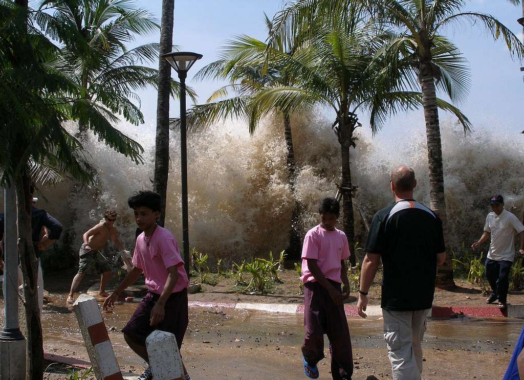
5. Returning after the first wave or after the water pulls back
One of the most dangerous misunderstandings is treating the first surge as the whole event. Tsunamis arrive as a series of waves, and the first is not always the largest.
In Washington’s tsunami education materials, wave intervals are described as ranging from five minutes to two hours, and hazardous flooding and currents can continue for hours or even days. The ocean may also withdraw dramatically before a wave arrives, exposing sea floor and reefs. That sight is not a signal to investigate. It is a final warning to keep moving uphill and stay there until authorities issue an all-clear.

6. Making family reunion plans that pull people back into danger
Many disaster plans sound sensible until they meet tsunami reality. A preset reunion point inside or near the hazard zone can send parents, children, workers, and neighbors back toward the coast just when they should be staying away.
Oregon evacuation guidance cautions against choosing meeting places that encourage reentry into inundation zones. After a Cascadia earthquake, outside help may be delayed for at least two weeks, and communications may be unreliable. Better planning centers on one rule first: survive individually, reach high ground, and do not come back down too soon.
7. Treating maps, drills, and signage as optional
Tsunami preparedness often looks ordinary until the day it becomes lifesaving. Marked routes, public education, walk-time maps, and community drills exist because evacuation under stress rarely leaves room for first-time thinking.
NOAA’s community guidance places planning, route marking, and public education at the center of tsunami risk reduction. Those systems matter because tsunami impacts vary sharply from one town to the next depending on bathymetry and topography. A visitor staying steps from the beach, a worker in a harbor area, and a resident on a bluff may all face different escape realities within the same community.
The Cascadia coast does not offer much forgiveness for hesitation. Its tsunami danger is defined by short timelines, damaged infrastructure, and water that behaves nothing like a normal surf event.
The mistakes that matter most are often simple: waiting, driving, guessing, returning, or failing to plan at all. Along this shoreline, survival begins before the earthquake ever starts.

