
Hurricanes shape public imagination around the Gulf Coast and the Southeast, but the historic landfall map of the continental United States tells a more uneven story. Some coastal states have been struck repeatedly for well over a century, while a small group has seen direct hurricane hits only rarely.
That pattern does not mean these places are free of tropical weather risk. Rain, coastal flooding, tropical-storm winds, and offshore tracks can still bring disruption. But in the long historical record, these seven states sit on the less-traveled edge of the hurricane map, according to continental U.S. hurricane landfall records and NOAA’s long-running state strike tables.

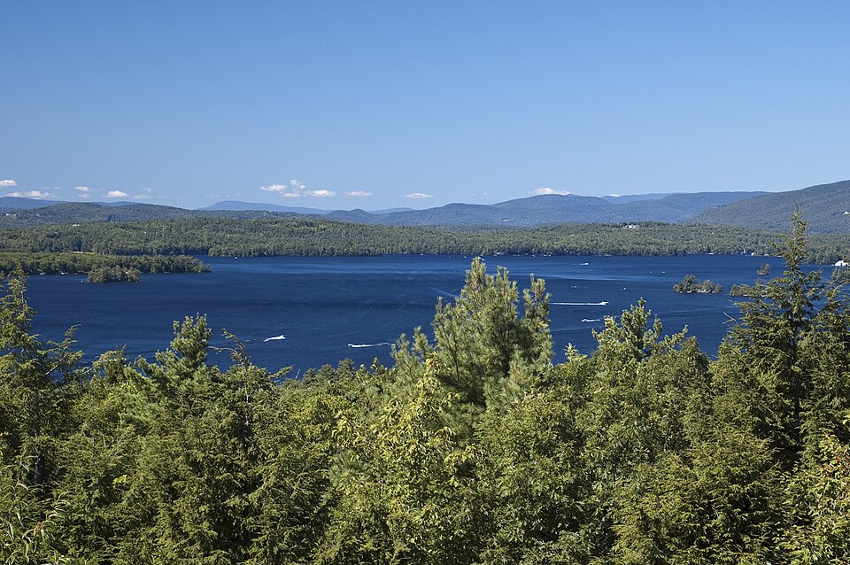
1. Maine
Maine is one of the clearest examples of a state that sits outside the most common hurricane corridors. NOAA’s historical state table lists only a handful of mainland hurricane strikes there, and none in the major-hurricane category through the classic 1851–2004 summary.
Its cooler waters, higher latitude, and distance from the tropical Atlantic core help explain the pattern. Storms that reach Maine often weaken, transition, or arrive after curving northward along the East Coast. That still leaves room for damaging weather, especially when a storm accelerates up the shoreline, but direct hurricane landfalls remain uncommon compared with the Carolinas, Florida, or the Gulf Coast.
2. New Hampshire
New Hampshire appears only sparingly in the U.S. hurricane archive. In NOAA’s historical strike table, the state is credited with just two mainland hurricane direct hits through 2004, placing it among the least frequently affected states on the Atlantic seaboard.
The state’s short coastline plays a role, but geography is only part of the story. By the time tropical cyclones reach northern New England, they often have encountered cooler water, stronger wind shear, or land interaction farther south. That combination tends to reduce the odds of a classic hurricane landfall, even in years when the broader Atlantic season is active.

3. Delaware
Delaware occupies an exposed stretch of Mid-Atlantic shoreline, yet direct hurricane landfalls there have been rare in the historical record. NOAA’s state summary shows only two direct mainland hits through 2004.
Its location often leaves it in the path of near misses rather than clean landfalls. Storms recurving along the coast may strike farther south in the Carolinas or farther north near New Jersey and Long Island, while Delaware experiences fringe effects instead. That distinction matters because a state can face flooding rain, surge concerns, and beach erosion without appearing often in the direct-hit count.

4. Pennsylvania
Pennsylvania is not usually part of hurricane conversation, and the database reflects that. It appears in NOAA’s older state table with just one inland hurricane impact, not a classic coastal landfall.
That nuance is important. Pennsylvania can still feel the remnants of tropical systems after landfall elsewhere, especially through heavy rainfall and river flooding. Yet when the focus is on places that lie outside regular hurricane landfall paths, the state stands out because it is generally affected secondhand, not as an initial point of impact.
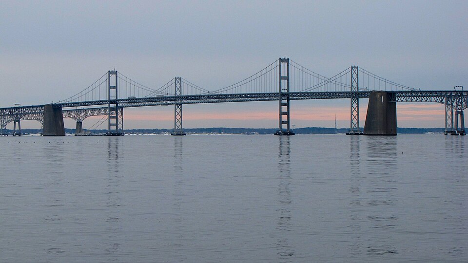
5. Maryland
Maryland’s position along the Mid-Atlantic would seem to invite more direct strikes than its record suggests. Instead, it shows up only rarely in long-term hurricane landfall data, with one direct mainland hit in NOAA’s 1851–2004 tally.
The Chesapeake Bay and Delmarva geography can complicate how storms interact with the state. Systems may brush the coast, cross nearby states, or deliver hurricane conditions without a textbook landfall in Maryland itself. Even so, compared with neighboring high-profile hurricane states, Maryland remains an infrequent destination for the center of a hurricane.
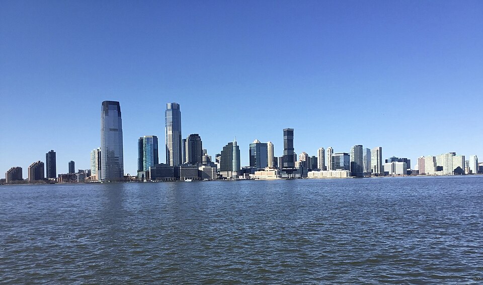
6. New Jersey
New Jersey is often associated with memorable tropical storms and coastal flooding, but direct hurricane landfalls have been surprisingly scarce. NOAA’s state table lists only two mainland hurricane direct hits through 2004.
That low count helps explain why the distinction between “landfall” and “impact” matters so much in public understanding. A storm does not need to come ashore as a major hurricane to reshape beaches, flood transit systems, or damage coastal communities. Texas A&M storm expert Robert Korty put that clearly when discussing quieter U.S. landfall stretches: “it doesn’t take a Category 3 or 4 storm to do tremendous damage.”

7. Massachusetts
Massachusetts is not hurricane-free, but its direct-strike history is still modest compared with the southern coastline. NOAA’s long-term count places it in the lower-frequency group, despite a few famous New England storms that remain part of regional memory.
When hurricanes do reach southern New England, they often arrive fast and with unusual structure, especially after moving north over cooler waters. That can make the threat feel outsized relative to the number of actual landfalls. In other words, rarity has never meant irrelevance here; it simply means the state lies outside the nation’s most persistent hurricane pathways.

Across the U.S., hurricane landfalls cluster heavily in Florida, Texas, Louisiana, North Carolina, and South Carolina, while parts of the Mid-Atlantic and northern New England appear much less often in the record. Even in quieter periods, forecasters note that storm tracks can be redirected by broad atmospheric steering patterns such as the Bermuda High. The larger lesson is simple. Some states are rarely in hurricane landfall paths, but rarity is not immunity. The historic map shows where direct strikes happen least often, not where preparation stops mattering.

