The Pacific Northwest’s most serious earthquake threat is not only about shaking. The Cascadia Subduction Zone, a vast offshore fault stretching from northern California to British Columbia, carries the potential to reshape coastlines within minutes and leave behind consequences that last for generations.
Recent research has widened that picture. Alongside long-standing tsunami concerns, scientists are now paying closer attention to offshore fault behavior, sudden land subsidence, and the way sea-level rise could magnify damage after a major rupture. Together, these findings show why Cascadia is increasingly viewed as a compound coastal hazard rather than a single disaster scenario.
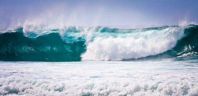
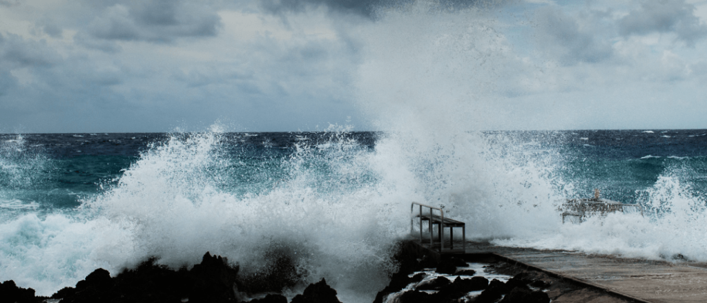
1. Some tsunami scenarios reach the 100-foot mark
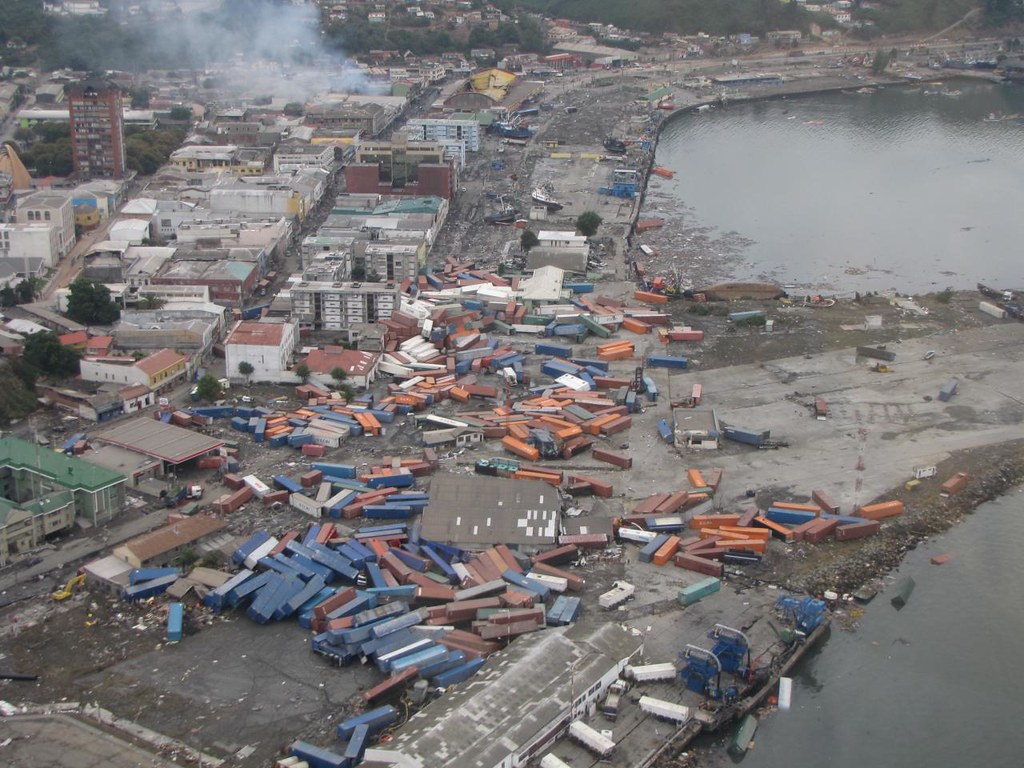
Oregon emergency guidance states that a future Cascadia earthquake could generate a resulting tsunami of up to 100 feet in height along parts of the coast. In many places, that wave would not be a distant, slow-building threat. State planning documents note that some Oregon communities could see tsunami arrival within 15 minutes of the quake, leaving little time for organized response. That compressed timeline matters because the same event would likely bring several minutes of violent shaking first. Evacuation planning in coastal communities depends on the understanding that people may need to move immediately and on foot, with roads, bridges, and communications already compromised.
2. New modeling suggests the ceiling for wave heights may be even higher
A study highlighted by researchers examining subduction zones found that Cascadia’s offshore geology may allow for far larger tsunami generation than some earlier models assumed. Their work focused on the “outer wedge,” a sediment-heavy zone between the main fault and the seafloor, and concluded that wider outer wedges can be associated with more extreme tsunami heights.
For Cascadia, that raised attention because the fault’s outer wedge is unusually broad. In the study’s estimates, tsunami heights could exceed 200 feet in worst-case conditions. The authors did not present that figure as a certainty, and outside experts stressed that it should be folded into broader modeling rather than treated as a stand-alone forecast. Still, it expands the upper range scientists are considering.
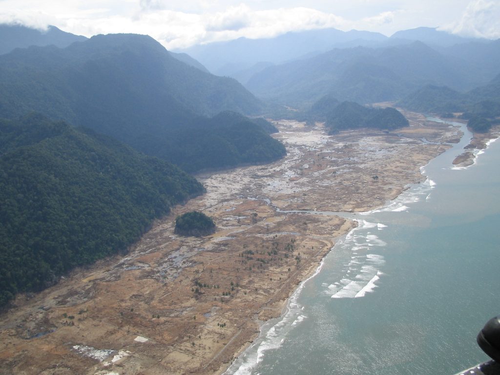
3. The coastline may drop suddenly during the quake
One of the most unsettling parts of the Cascadia scenario is that the land itself may sink. Historical and geological evidence from the 1700 earthquake indicates that sections of coastline dropped by several feet during the event, helping trigger tsunami flooding and long-term shoreline change. More recent work in PNAS found that the next great Cascadia earthquake could cause 0.5 to 2 meters of sudden subsidence along parts of the Washington, Oregon, and northern California coasts. That change would happen over minutes, not decades. For low-lying communities, it would effectively raise local sea level immediately, changing flood risk even after the tsunami water retreats.
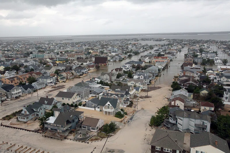
4. Floodplains could expand long after the initial disaster
The danger does not end when the shaking stops. Researchers estimated that if a great Cascadia earthquake happened under high-subsidence conditions today, floodplain area across 24 estuaries could expand by 300 square kilometers, more than doubling flooding exposure for residents, structures, and roads in the hardest-hit scenario. That makes Cascadia different from disasters framed only as one-day emergencies. A lowered coastline can remain more vulnerable to tides, storm surge, and chronic inundation for years or longer. Roads that once sat above routine water levels may no longer do so, and farmland, neighborhoods, and public facilities could face repeated saltwater exposure.
5. Sea-level rise turns the earthquake into a bigger long-term threat
The same PNAS analysis found that by 2100, earthquake-driven subsidence combined with climate-related sea-level rise could more than triple the flooding exposure of residents, roads, and structures under a high-end scenario. This is one reason Cascadia is increasingly discussed as a compound hazard rather than a single geological event. The Pacific Northwest has historically benefited in some areas from gradual tectonic uplift that partly tempered local sea-level rise. Researchers note that this advantage is expected to fade as ocean levels continue rising. When that shift is combined with sudden earthquake subsidence, the result is a much broader and more persistent coastal flooding footprint.
6. Scientists now see signs that the fault does not behave the same way everywhere
Cascadia was once often described as a mostly locked fault storing strain in relative silence. Offshore monitoring is refining that picture. A University of Washington study based on 13 years of data found that the northern part appears more firmly locked, while the central section shows more complex activity, including signs of a shallow slow-motion earthquake and pulses of fluid moving through underground pathways. Those variations matter because rupture behavior depends on how stress is stored and released along the fault. As co-author Marine Denolle said, “It’s preliminary, but we think that variable fluid pathways in Cascadia will change the behavior of large earthquakes on the fault.” The study did not change the estimated odds of a major event, but it suggested the eventual rupture may be less uniform than older simplified models implied.
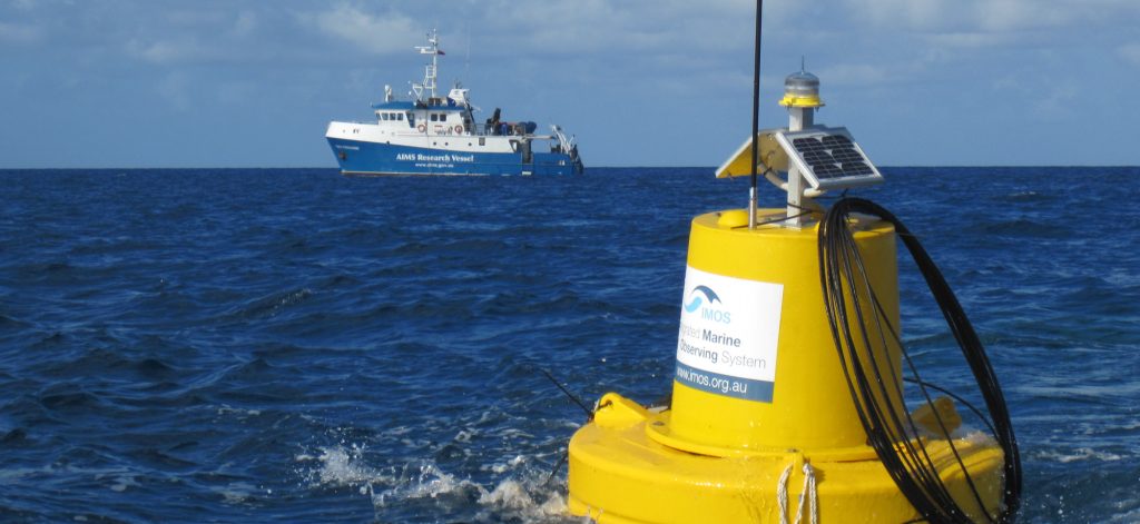
7. Offshore blind spots have limited what researchers could see
The Cascadia fault lies offshore and deep underwater, which has long made it harder to study than many earthquake zones on land. Much of the historical monitoring network has been land-based, offering only partial insight into conditions where the plates actually meet. That observational gap helps explain why newer offshore data are changing scientific understanding. The University of Washington team described its work as the first to monitor strain offshore for an extended period in this way, and researchers have already called for more instruments on the seafloor. Better measurements will not remove the hazard, but they can sharpen tsunami maps, rupture scenarios, and long-range resilience planning.
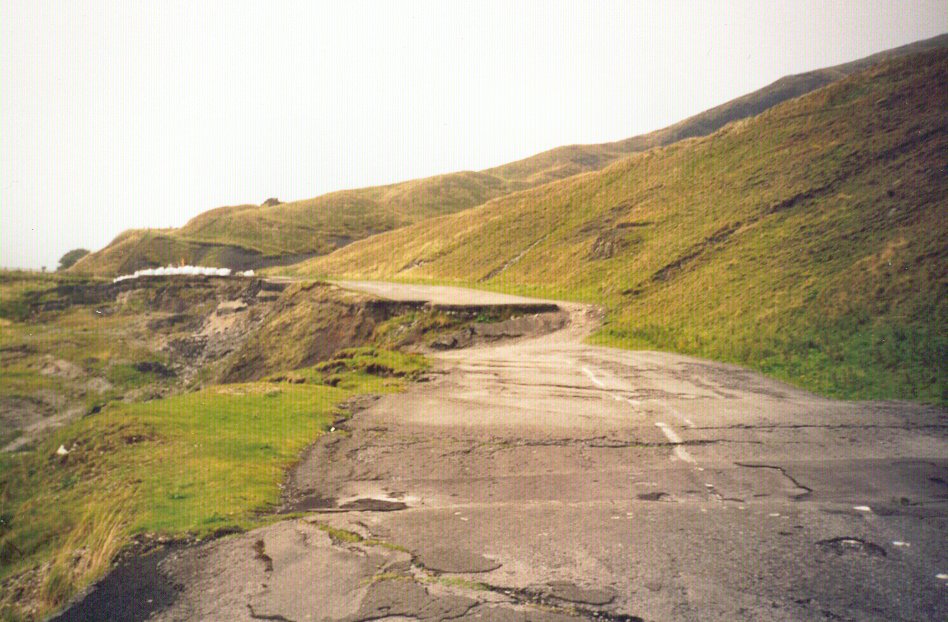
8. Critical infrastructure could be disrupted for weeks or months
Cascadia planning documents describe consequences that extend well beyond collapsed buildings. Oregon’s energy resilience guidance warns that a major Cascadia event would damage fuel terminals, docks, pipelines, and distribution systems, disrupting the flow of gasoline, diesel, and jet fuel across the region. The same state materials note that communities should prepare to be without services and outside assistance for at least two weeks. That estimate helps explain why public agencies frame readiness around household self-sufficiency, local coordination, and infrastructure redundancy rather than short-term rescue alone.
9. The last full-margin great quake is ancient history to people, but not to geology
The most recent great Cascadia earthquake occurred in 1700, and evidence for it comes from drowned coastal landscapes, Indigenous oral histories, and Japanese historical records of a destructive orphan tsunami. Geological studies indicate that great Cascadia earthquakes have occurred repeatedly over thousands of years. That long interval can make the threat feel remote in daily life. Scientifically, it does not make the system inactive. Estimates in the reference material place the chance of a magnitude 9-class full-margin rupture in the coming 50 years at roughly 10% to 15%, while broader magnitude 7.1 and above scenarios carry higher probabilities.
Cascadia remains a story of hidden motion: plates converging offshore, fluids shifting through rock, coastlines slowly rising in some places even as scientists model how abruptly they could fall. The warning is not only about one giant wave. It is about how an earthquake could redraw the Pacific Northwest’s edge, turning familiar ground into a different shoreline almost at once. That is why the latest research keeps widening the frame. The strongest message is no longer just that a megathrust quake is possible, but that its effects could arrive as shaking, tsunami, subsidence, isolation, and chronic flooding all at once.

