The Pacific Northwest’s earthquake risk has long been described in terms of shaking and tsunami waves. The newer warning is broader and more unsettling: a future Cascadia megaquake could also permanently lower stretches of coastline, leaving some communities wetter, harder to reach, and far slower to recover.
That concern comes from a growing body of research on the Cascadia Subduction Zone, the offshore fault where one tectonic plate is forced beneath another. Scientists have spent years reconstructing the region’s deep past to understand what the next major rupture could mean for towns, roads, estuaries, fuel systems, and daily life along the coast.
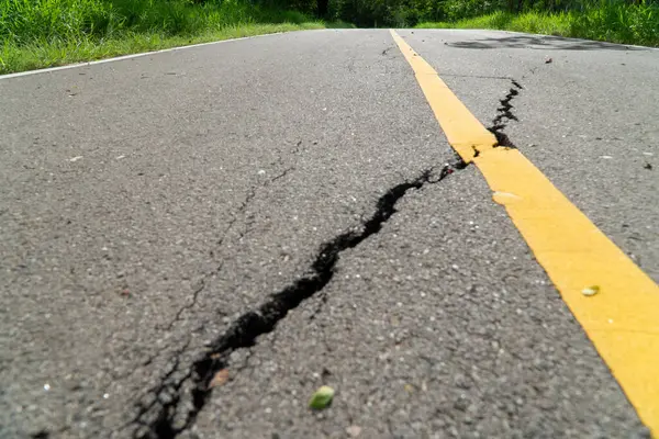
1. The fault can produce the largest earthquakes on Earth
The Cascadia Subduction Zone is a 1,000 km long plate boundary running from northern Vancouver Island to northern California. It marks the place where the Juan de Fuca Plate is being pushed beneath North America, storing strain over centuries before releasing it in a megathrust earthquake.
These faults are in a special category. According to regional earthquake scientists, subduction zone megathrusts are the only faults capable of generating earthquakes larger than magnitude 8.5. Cascadia has already done so in the geologic past, and the scientific consensus is that it remains capable of another event in that range.
2. The last great rupture happened in 1700, but the system is still active
The most recent great Cascadia earthquake struck on January 26, 1700, with an estimated magnitude between 8.7 and 9.2. Scientists pieced that date together from drowned coastal forests, tsunami deposits, tree-ring evidence, and written records in Japan of a tsunami arriving without a local quake.
That date can sound distant, but it does not mean the hazard has faded. Paleoseismic evidence indicates at least 19 great earthquakes have ruptured much of the Cascadia margin over roughly 10,000 years, showing a system that works on long cycles rather than human timelines.
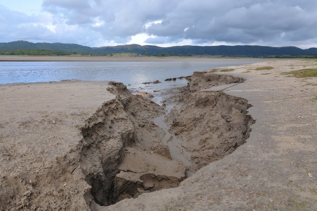
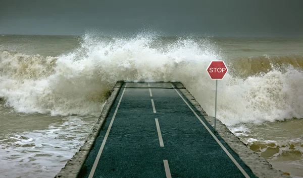
3. The warning is not only about shaking, but about land dropping in minutes
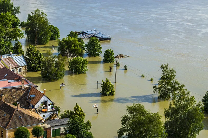
A major Cascadia rupture would not just rattle buildings for several minutes. It could also abruptly push parts of the coastline downward. New research found coastal land could sink by up to 6.5 feet in some places, immediately expanding flood-prone areas. That change matters because it would not behave like a passing storm surge. After the quake and tsunami, the lowered ground could remain more vulnerable to tides and flooding for decades or longer, altering the map of where people can safely live, rebuild, or travel.
Scientists noted that the post earthquake floodplain could spread across dozens of additional square miles, drawing in homes, roads, airports, wastewater facilities, and other essential sites that were not previously inside the highest-risk zone.
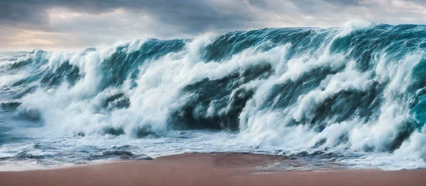
4. Some towns could face a double hit: sinking ground and fast-arriving tsunami waves
Scientists describe the Cascadia scenario as a compressed chain of hazards. In a very large event, strong shaking may last four to six minutes, and tsunami waves could arrive at parts of the Oregon coast within about 15 minutes.
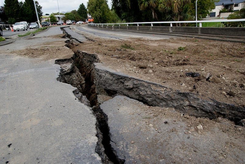
That is a narrow escape window for low-lying communities. If the land is dropping while people are still trying to move, the challenge becomes more complex than a standard evacuation model. Roads, bridges, and marshy edges of estuaries may become less reliable just as people need them most.
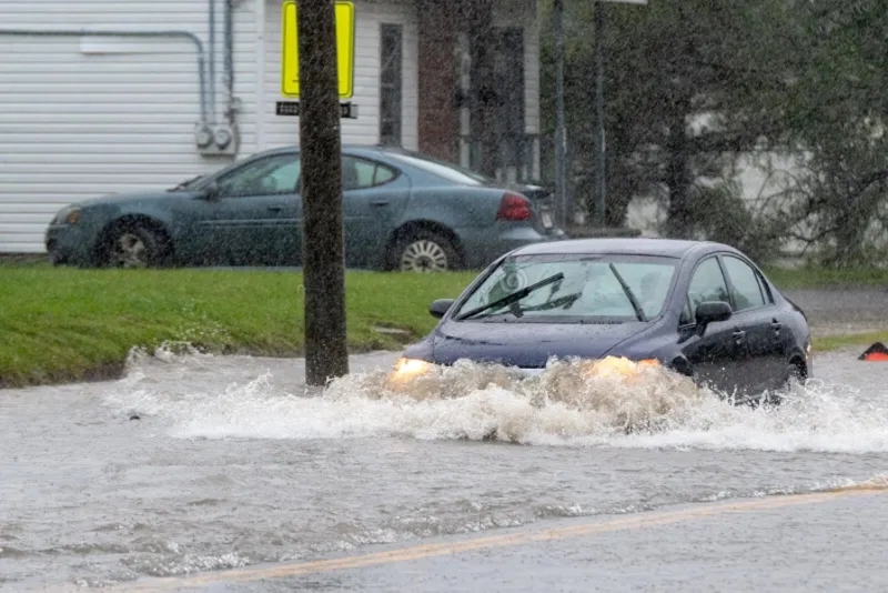
5. Flood exposure could jump sharply after the quake
The latest estimates suggest the post-quake floodplain would not expand in a minor way. Researchers calculated that if a large event happened under today’s conditions, an additional 14,350 residents, 22,500 structures, and 777 miles of roadway could end up within the new floodplain.
That means recovery would not begin from the same coastal footprint that existed the day before. Emergency response would be working in a changed landscape, with more schools, hospitals, fire stations, wastewater plants, and transportation links sitting inside newly exposed flood zones.
6. Southern Washington, northern Oregon, and northern California stand out
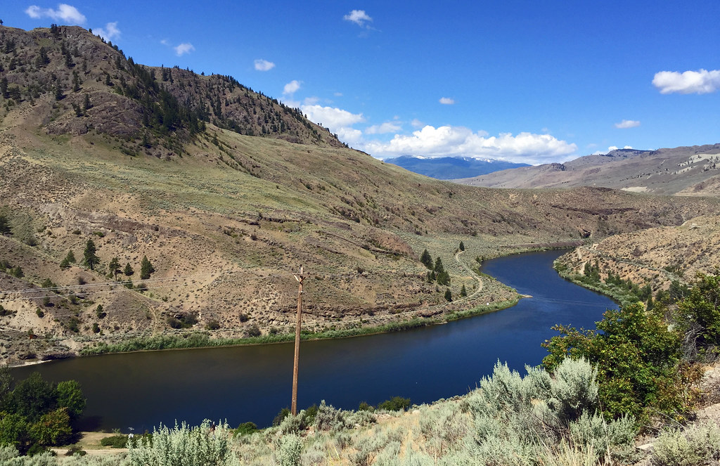
The most severe subsidence impacts identified in recent modeling concentrate in southern Washington, northern Oregon, and northern California. These are not empty stretches of shore. They include estuaries and developed lowlands where communities, farms, roads, and public facilities sit close to sea level already.
This is where the phrase “trap towns” becomes especially meaningful. Isolation after a quake does not require a place to disappear underwater entirely. It can happen when access roads flood, bridges fail, fuel systems break, and higher ground is limited.
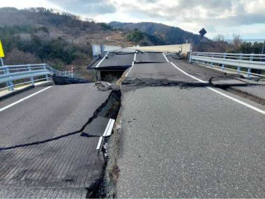
7. Roads and fuel networks are part of the human risk
Much of the regional conversation around Cascadia has focused on homes and lives, but infrastructure failure shapes survival and recovery just as strongly. Oregon’s energy planning warns that a Cascadia event could severely damage refineries, terminals, docks, pipelines, and distribution systems, disrupting normal fuel supply for months or longer.
That matters because rescue, medical transport, debris clearance, food delivery, and evacuations all depend on fuel. When coastal communities are cut off at the same time that the transportation and petroleum systems are damaged, the practical meaning of isolation becomes much more severe.
8. Tsunami heights remain a serious uncertainty
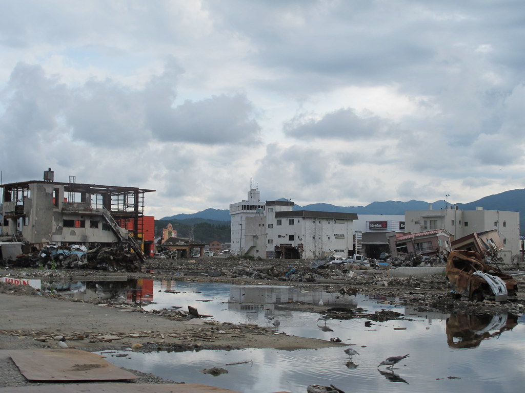
Emergency planning has often used tsunami scenarios around 30 feet in many places, but some scientists have argued that parts of the Northwest coast could face waves up to 100 feet under certain conditions. That does not mean every coastal community would see that height, but it does show why planners continue revisiting evacuation maps.
As NOAA tsunami modeler Vasily Titov put it, “Underestimating kills people … and the Japan event emphasized that in a very vivid way.” The larger point is that uncertainty does not soften the hazard; it broadens the range of consequences communities must consider.
9. The coast’s natural buffers could also be damaged
Low-lying estuaries, wetlands, dunes, and beaches help absorb wave energy and reduce erosion. A major subsidence event could damage these natural systems at the same time they are needed most. Researchers warn that increased tidal inundation, salt intrusion, and erosion could reduce farmland usability and weaken ecosystems that filter water, support fisheries and shorebirds, and store carbon. In some places, these losses may not be quickly reversible, especially where development or topography limits inland migration of wetlands.
10. The long term problem may outlast the disaster itself
The earthquake and tsunami would unfold in minutes to hours. The land-level change could remain for generations. That is one of the clearest messages from recent Cascadia science. A great earthquake would be an acute emergency, but the sinking coastline could turn into a chronic one, reshaping where rebuilding is practical and where communities remain exposed as sea levels continue to rise. USGS estimates include a 10 to 15 percent chance of a full margin M9 earthquake in the next 50 years, while southern Cascadia faces an even higher probability of a major M8+ event when partial ruptures are included.
The Cascadia threat is often described as the region’s inevitable earthquake. The more recent scientific warning adds a second layer: for some coastal places, the defining damage may not end when the shaking stops. In that framing, the central risk is not only collapse, but transformation. Towns built around present day shorelines may have to confront a different coastline altogether.

