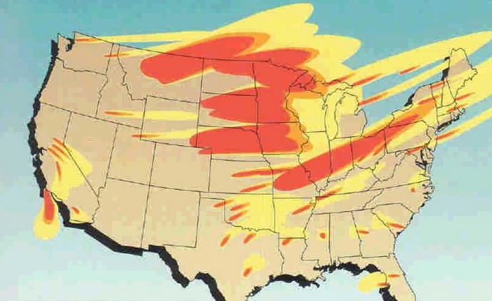
Maps that label any place “safe” during a nuclear exchange flatten a grim reality. The more useful question is narrower: which states appear less exposed to immediate fallout in silo-strike models, and why? The answer depends on geography, wind, and what gets targeted first.
Modeling highlighted by average radiation exposure after four days shows that some parts of the country sit farther from the heaviest plume paths tied to attacks on missile fields in the interior West and northern Plains. That does not make them secure from wider consequences such as infrastructure failure, food disruption, or long-term climate effects.
1. Maine
Maine stands out in fallout modeling because of distance. It sits far from the cluster of land-based missile silos that dominate the central U.S. target map, and prevailing west-to-east wind patterns reduce the chance that the densest early fallout would arrive there in average scenarios. That geographic buffer is why Maine repeatedly appears in lower-exposure groupings. Rural spread and access to water and agricultural land also matter in preparedness discussions, although those strengths do not erase the national effects of a broader nuclear crisis.

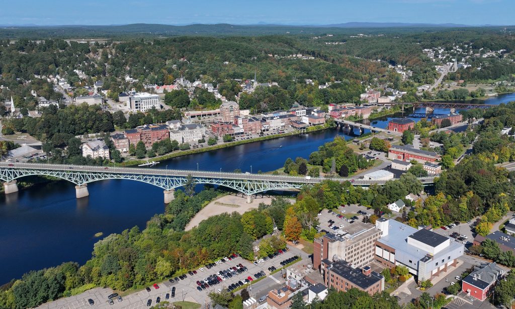
2. New Hampshire
New Hampshire benefits from the same northeastern positioning that helps the rest of northern New England in silo-focused simulations. Radiation estimates in these scenarios remain far below the levels associated with immediate lethality, especially compared with the states closest to missile fields. Its advantage is not isolation from every hazard. It is simply lower modeled fallout exposure in the opening days of one specific type of attack.

3. Vermont
Vermont’s low profile in strategic terms and its location on the far side of the country from the main ICBM belt make it a recurring lower-risk state in these maps. In practical terms, that means less direct exposure to fallout from ground bursts on silos when winds behave near modeled averages. The state also illustrates the limit of these rankings. A survivable short-term radiation dose does not address longer-term strain on food systems, medicine, transport, and power.

4. Massachusetts
Massachusetts appears in the lower-exposure zone despite its dense population because fallout maps for silo attacks are driven more by plume direction and target distance than by state population alone. In these models, New England often remains on the less contaminated side of the country during the first four days. That distinction is technical, not comforting. Lower fallout is not the same as normal functioning.

5. New York
New York lands in the lower-risk category in average-case fallout simulations centered on missile silos, even though it would carry obvious importance in any broader strategic exchange. That contrast shows how much these maps depend on the chosen scenario. Nuclear engineering professor Braden Goddard told Newsweek he doubted silos would necessarily be the primary target and believed Washington, D.C., might be a more likely strike point. A different opening target set would alter the map quickly.

6. Pennsylvania
Pennsylvania shows up in the lower band in average and some worst-case scenarios because it is east of the main silo fields and often outside the heaviest projected plume tracks. Its inclusion is a reminder that “less affected” can still involve measurable radiation exposure. In the underlying comparisons, lower-risk states generally ranged from 0.001 Gy to 0.5 Gy in average scenarios, while the most exposed areas climbed far higher, with more than 8 Gy regarded as lethal.

7. Virginia
Virginia’s appearance on safer-state lists surprises readers because it sits close to major federal and military infrastructure. The reason is that silo-strike models are not broad national target maps. They are narrower estimates of fallout from attacks on the missile belt. That makes Virginia a good example of why scenario design matters. A model built around city, naval, or command targets would produce a different result.
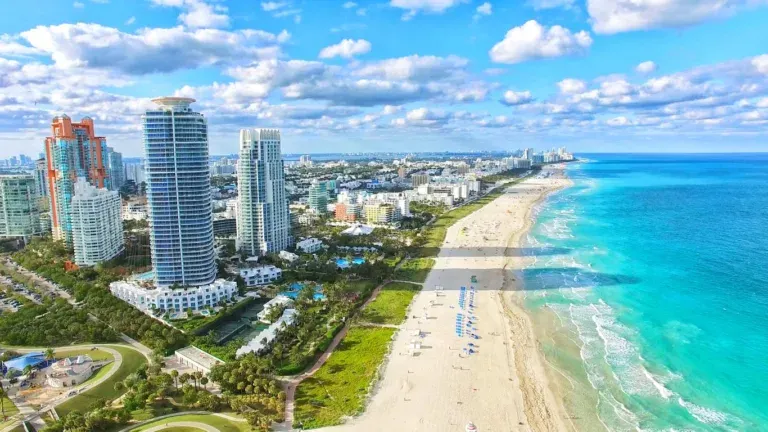
8. Florida
Florida often ranks lower in immediate fallout exposure from silo attacks because it is both distant from the central missile fields and often removed from the first major fallout corridors. In worst-case wind setups, parts of the Southeast still remain in lower-dose categories than much of the Midwest. That advantage is only relative. Broader maps built from civilian, military, and infrastructure targets have shown that fallout spread depends on weather, season, and target type, which can reshape the risk picture dramatically.

9. Oregon
Oregon is one of the western states that frequently fares better in silo-centered fallout estimates. The Pacific side of the country benefits from distance, and typical wind flow works against east-origin fallout concentrating there in the early days after an inland strike. Scientific American fallout maps revisited by Newsweek placed West Coast states among the less affected areas in many scenarios, with some locations receiving little more than the annual public radiation limit over four days. That remains a narrow measure of one danger, not a verdict on long-term livability.
The larger lesson is less about relocation than about understanding what these maps actually measure. They estimate immediate fallout exposure from a specific attack pattern, not the total human, environmental, or economic consequences of nuclear war. Experts quoted across these analyses kept returning to the same point. “Nowhere is truly ‘safe’ from fallout and other consequences like contamination of food and water supplies and prolonged radiation exposure,” John Erath told Newsweek. The maps can sort relative risk, but they do not shrink the scale of the disaster behind them.

