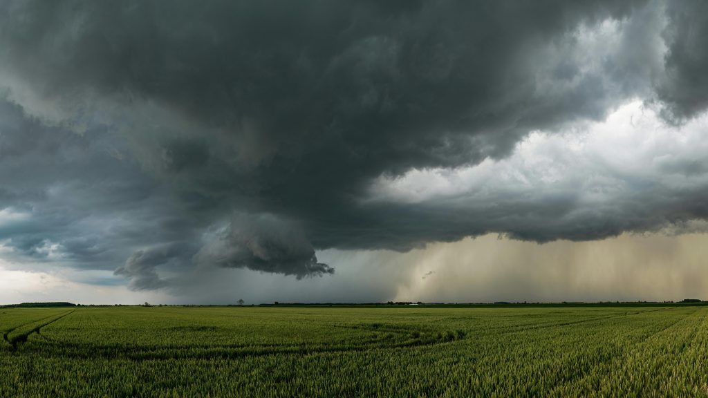
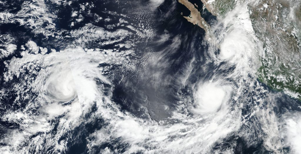
Blackouts, deluges, and deadly flooding aren’t just coastal issues any longer they’re heading to inland states as well. This week, tens of millions of Americans are on high notice as two strong Pacific storms are poised to unleash hazardous weather from Hawaii all the way to Texas.
Meteorologists are following Hurricane Kiko, a Category 4 monster moving towards Hawaii, and the remains of Hurricane Lorena, which are going to soak the Southwest and cause flash flooding. Throw in a year already chalked up with record-breaking rainfall and fatal floods, and the stakes don’t get any higher.
Here’s how the biggest threats stack up, the science behind the extremes, and what communities can do immediately to prepare.
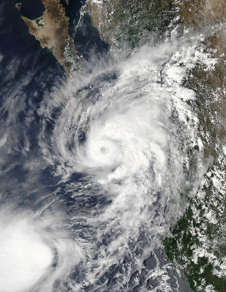
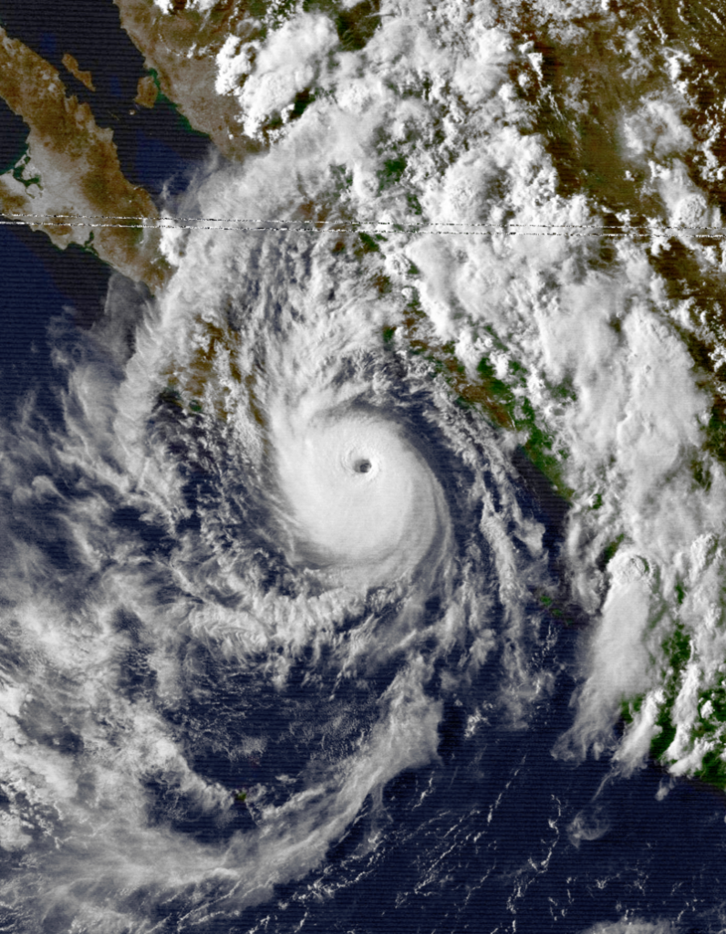
1. Hurricane Lorena’s Track Into the Southwest
A former Category 1 hurricane, Lorena, struck Mexico’s Baja Peninsula, then dwindled but not diminished enough to spare the US Southwest. The forecast indicates Arizona, New Mexico, Texas, and the southern sections of Utah, Colorado, Kansas, and Oklahoma will receive 1 to 5 inches of rain over the weekend. AccuWeather’s Alex DaSilva warns the storm’s impact “will depend heavily on its track over the next few days.” Even in its tropical storm phase, Lorena is primed to trigger flash floods, mudslides, and power outages, especially in areas with higher terrain.
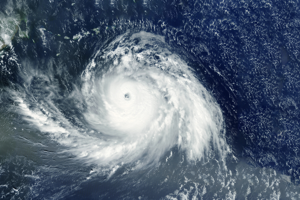
2. Hurricane Kiko’s Historic Threat to Hawaii
Kiko, now a Category 4 hurricane with sustained winds at 140–145 mph, may be the first major hurricane in decades to hit Hawaii directly since Iniki in 1992. The National Hurricane Center predicts landfall on the Big Island on Tuesday, bringing as much as 8 inches of rain in spots. Acting Governor Sylvia Luke has already signed an emergency proclamation to activate resources. Even if it deteriorates, DaSilva adds it may still deliver “significant wind and rain to the islands next week.” Hazardous swells and rip currents will be developing along east-facing beaches ahead of the storm.
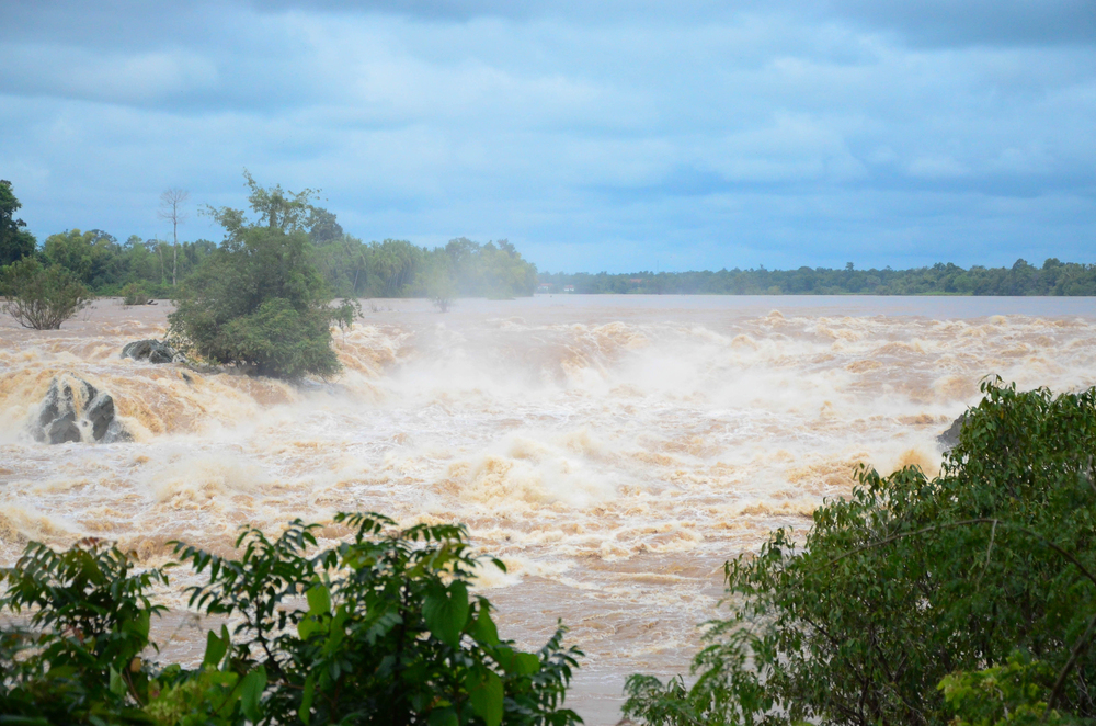
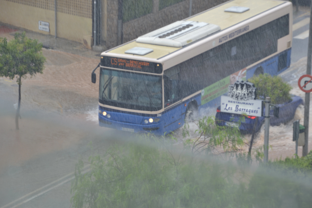
3. Flash Flood Season Smashes Records
As of mid-July, the National Weather Service had issued more flash flood warnings in 2025 than in any year on record since 1986 almost 4,000 through July alone. July also recorded 17 Flash Flood Emergencies, reserved for “EXCEEDINGLY RARE situations” with catastrophic potential damage. Meteorologists attribute this upsurge to a warmer atmosphere retaining more moisture, which energizes heavier rainfall. According to Prof. Andrew Dessler, climate change works “like steroids for the weather,” amplifying what already exists.
4. The Science Behind More Extreme Rain
The Clausius-Clapeyron equation demonstrates that for each 1°F rise in temperature, the atmosphere can hold 4% more water. This equates to storms having a larger ‘sponge’ to wring out, resulting in longer dry periods as well as heavier rain when it does arrive. In certain instances, intense rain events are accelerating at a faster rate than this formula predicts a process known as super-CC scaling owing to more powerful updrafts and more available water.
5. Hydroclimate Whiplash: Drought to Deluge
Most of the regions affected by recent flooding were still in severe drought days earlier. That quick change, which has come to be referred to as hydroclimate whiplash, was evident at Kerrville, Texas, where record drought made soils too hard to soak in more than 10 inches of rain, leading to fatal runoff. These extremes are increasingly occurring because a warmer atmosphere is extending dry spells, then spilling great volumes of water in brief, intense bursts.
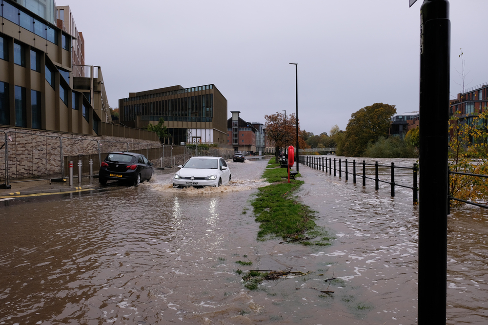
6. Urban Flooding’s Growing Toll
Cities like New York are increasingly vulnerable to pluvial flooding, where intense rain overwhelms drainage systems. On July 14, a NYC transit station saw over 2 inches of rain in 30 minutes far beyond the century-old sewer system’s design. Expanding impervious surfaces and outdated infrastructure mean even moderate storms can now cause major urban flooding.
7. Hawaii’s Preparedness Advantage
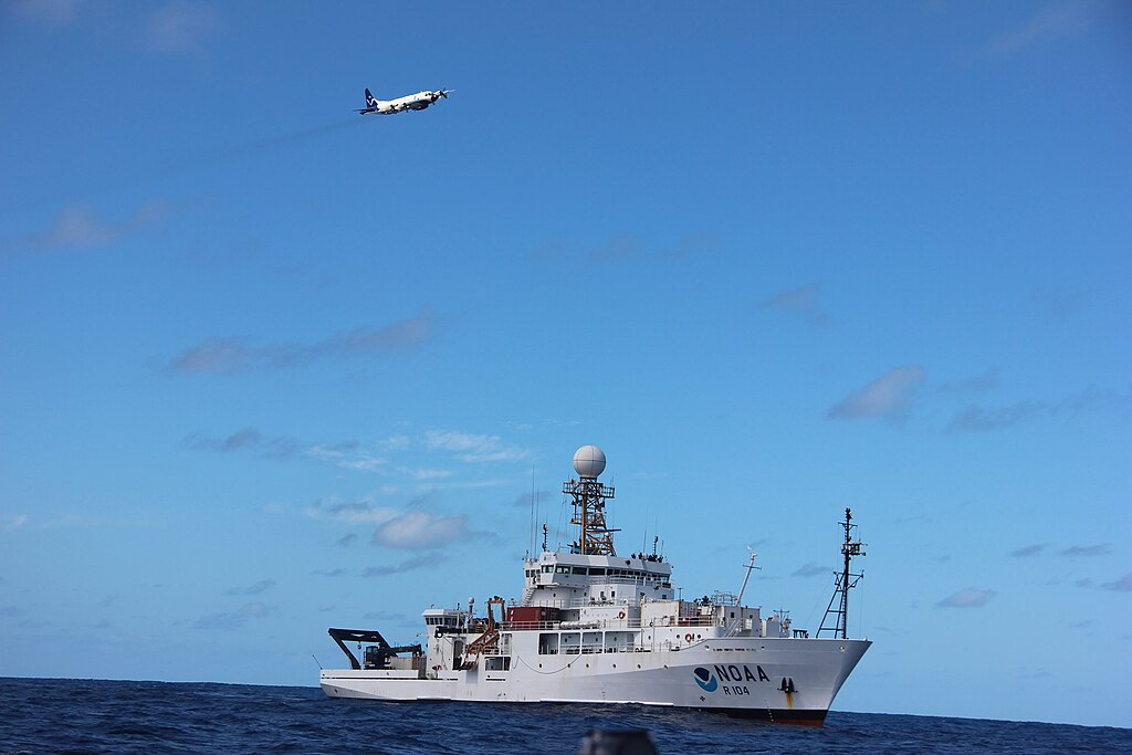
Hawaii is one of just eight US states that are NWS StormReady, a designation that means each county has a higher level of readiness for dangerous weather. That means early warning systems, community drills, and federal coordination. New in 2025, NOAA can provide storm surge predictions for the Hawaiian Islands up to 72 hours ahead of time, providing residents with a longer window in which to take action.
8. Why 2025’s Hurricane Outlook Still Demands Vigilance
Even with a 30% possibility of sub-normal central Pacific activity, the Atlantic season will be high, at 13–19 named storms and as many as 5 major hurricanes. The warm ocean waters, low wind shear, and active West African Monsoon all favor storm development. NOAA’s Ken Graham describes it as “a call to action: be prepared” and encourages communities to plan ahead of time before storms hit.
This week’s double threats from Lorena and Kiko are a grim reminder that severe weather is no longer limited to known hotspots. With record-breaking flash floods and hurricanes strengthening over warmer waters, preparedness is no longer a choice it’s survival. Being up to date, paying attention to warnings, and planning ahead can be the difference between interruption and catastrophe.


