
At 9:45 a.m. Tuesday, the ground around Templeton, California, shook in a magnitude 4.1 earthquake that sent tremors rippling from Salinas to Lompoc. Over 1,000 people reported feeling the shake, and for a moment, murmurs of a tsunami threat rustled down the coast soon refuted by the USGS. This earthquake did not cause any significant damage it nonetheless was a blunt reminder that California’s seismic story is anything but quiet.
California sits atop one of the most famous fault lines in the world, the San Andreas Fault, and history has shown it’s capable of producing earthquakes powerful enough to reshape landscapes and cities.
Scientists armed with decades of data and advanced monitoring tools are piecing together patterns, probabilities, and potential impacts of future quakes. What they’ve found is both fascinating and sobering.
From historic “Big Ones” to cutting-edge hazard models, here are 10 compelling insights into California’s earthquake reality, revealed in the wake of this latest tremor.
1. The Mighty Reach of the San Andreas Fault
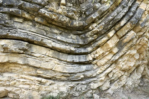
The San Andreas Fault is a “strike-slip” boundary where the Pacific and North American plates grind past each other, from Mendocino down to the Mexican border. Unlike deep subduction zone faults, it’s visible at the surface a raw scar across California. Plate movement averages just two inches a year, but when locked sections suddenly release decades of built-up strain, the displacement can reach up to 30 feet, as in the 1857 Fort Tejon quake.
2. Third-Place Seismic Ranking for California
California is the third most seismically active state in the country, following Alaska and Hawaii. This year alone, more than 14,000 tremors have been documented in the state. Although Alaska experiences far more quakes, the dense population and infrastructure in California make the likelihood of damage from earthquakes in the state much greater.
3. A 21% Chance of Another Quake This Week
After Tuesday’s quake, USGS projected a 21 percent chance of another quake of magnitude 3 or greater during the next week, and 3 percent of a quake with magnitude 4 or greater. The short-term projections are based on the pattern of aftershocks and the regional seismicity.
4. Lessons from the 1857 Fort Tejon ‘Big One’
The 1857 Fort Tejon earthquake, estimated at magnitude 7.9–8.0, ruptured more than 215 miles of the San Andreas Fault. Witnesses described rivers running backward and fissures swallowing trees whole. Just two people died California’s population was only 330,000 but experts say a repeat today could kill thousands and cause billions in damages.
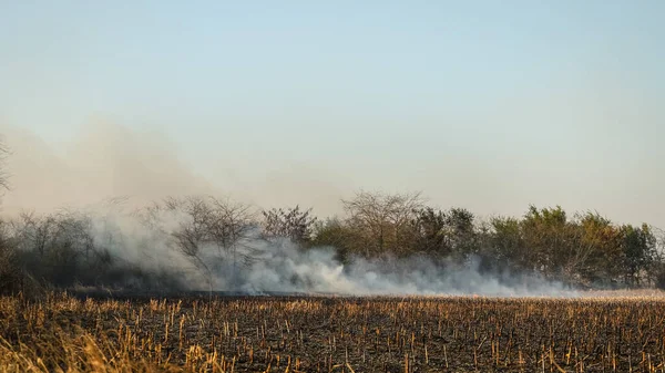
5. Fires: The Hidden Earthquake Threat
Susan Hough of the USGS cautions that, as in the case of the 1906 San Francisco disaster, the most devastating damage in a future “Big One” could be fires. A quake that struck during hot, dry Santa Ana winds could result in flames racing through urban areas.
6. The Science of Recurrence Intervals
Seismologists examine recurrence intervals, the average time between quakes of a particular size, by using historical records, geological offsets, and tectonic creep rates. Individual segments of the San Andreas may generate great quakes approximately every 150-200 years, but variability and the interaction of complex faults preclude dependable predictions.

7. Why the Weibull Distribution is Unique
It is found that the recurrence times of slip events on the San Andreas’ creeping section are better fitted by a Weibull distribution rather than lognormal or Brownian passage-time models. This matters because Weibull’s hazard function increases with time since the last event, consistent with the build-up of stress on major faults.
8. Seismic Swarms and Volcanic Hotspots
There are pockets of volcanic and geothermal activity throughout southern California, such as Coso near Ridgecrest and south of the Salton Sea. These zones often experience seismic swarms clusters of quakes without a clear mainshock that can last for days or even years.

9. The New National Seismic Hazard Model
The new hazard model from the USGS shows that close to 75 percent of the U.S. is prone to damaging earthquake shaking. It identifies close to 500 additional faults, updating risk maps for all 50 states and showcasing increased hazard potential in California, Alaska, Hawaii, and even parts of the East Coast.
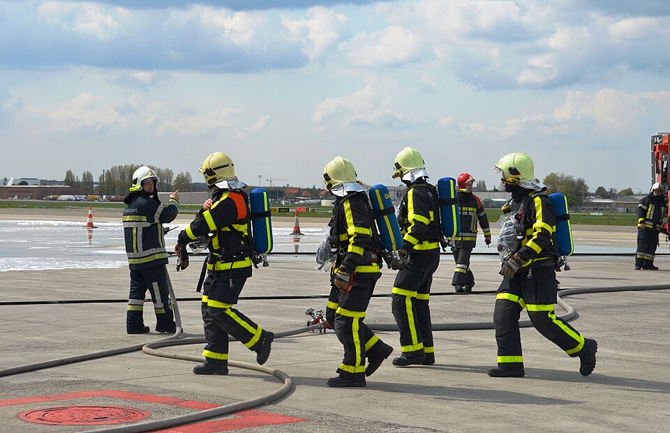
10. California’s Preparedness Challenge
Modern building codes notwithstanding, many structures have never seen the test of a magnitude 8.0 quake. Dense urban areas, such as Los Angeles, could experience intense “sloshing” of sedimentary basins, which would enhance shaking. Preparedness involves not only stronger buildings but also coordinated emergency response and public awareness. Tuesday’s quake was modest, but it underlined the complex seismic reality of California, at the junction of history, science, and human resilience.
The San Andreas Fault is not just a geological feature it is a living reminder of the forces shaping the state. Understanding these facts is not about fear it is readiness and knowledge that preparation today can make all the difference when the next big one strikes.

