The Cascadia Subduction Zone rarely announces itself. That silence is part of what keeps scientists focused on the fault running offshore from Northern California to British Columbia, where one plate dives beneath another and stores strain over centuries.
For people in the Pacific Northwest, the clearest story is not a single prediction. It is a set of warning signs emerging from geology, seafloor monitoring, hazard models, and preparedness research. Together, they show why Cascadia remains one of the most consequential natural threats in the United States.
1. The fault is still capable of a full-margin rupture
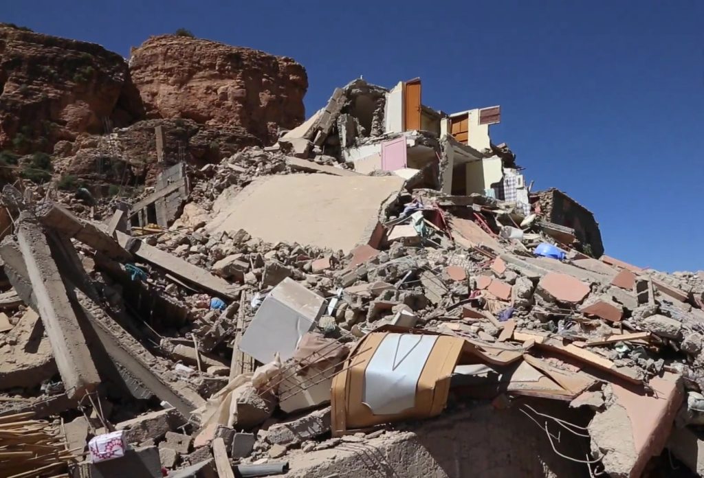
Cascadia is not a local fault with local consequences. It is a megathrust stretching roughly 600 to 700 miles, long enough to produce the kind of earthquake that can shake the region for minutes and drive a tsunami ashore soon after. Research summaries from regional and federal scientists continue to place the chance of an approximately magnitude 9 event at 10% to 15% in the next 50 years. The historical record supports that concern. The last known giant Cascadia quake struck in 1700, and geological evidence shows repeated major ruptures over thousands of years.
2. The quiet offshore zone may be hiding more complexity, not less
Cascadia has long seemed unusually quiet for such a dangerous plate boundary. That lack of rumbling once reinforced the idea that the fault was simply locked from end to end. New offshore strain research complicates that picture. A University of Washington study using 13 years of ground motion data found different behavior in different sections. The northern area appeared locked, while the central section showed signs of shallow slow motion and fluid movement beneath the seafloor. That does not reduce the overall hazard odds, but it does suggest the next large rupture may behave less uniformly than once assumed.
3. Slow-slip activity is getting more attention as a possible clue
Scientists do not claim a reliable earthquake prediction tool, but they are taking slow-slip events more seriously. These episodes release energy over days or weeks without the violent shaking people associate with earthquakes. In Cascadia, slow slip happens below the locked portion of the fault on a repeating cycle, and similar events in other subduction zones have been studied for links to later major quakes. That makes offshore monitoring especially important: a subtle “groan” in the fault may be scientifically meaningful even when the public feels nothing.
4. The fault may be divided into sections that change the danger pattern
Researchers increasingly describe Cascadia as segmented rather than perfectly uniform. Seafloor mapping and related studies indicate the margin can be broken into multiple geologic sections, and each may influence whether a rupture stalls, jumps, or tears through a broader stretch of coastline. That matters because even a partial rupture can still generate a very large earthquake and destructive tsunami. It also means emergency planning cannot focus only on a single worst-case map while ignoring region-to-region variation.
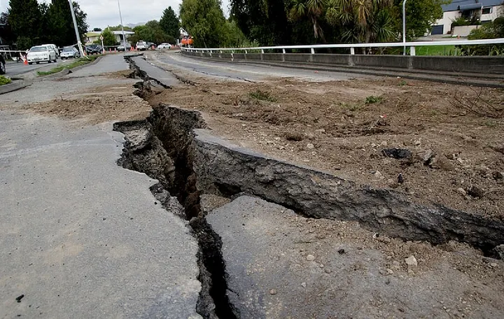
5. Coastal land could drop almost instantly
One of the most underappreciated warning signs is not about shaking at all. It is about what happens to the ground after the fault slips. Studies cited in recent Cascadia coverage show some coastal areas could subside by more than 6 feet in minutes. That permanent drop would expand flood exposure immediately, turning today’s roads, neighborhoods, and facilities into newly vulnerable low ground before any long-term sea-level rise is added to the picture.

6. Early warning exists, but the coast remains on a very short clock
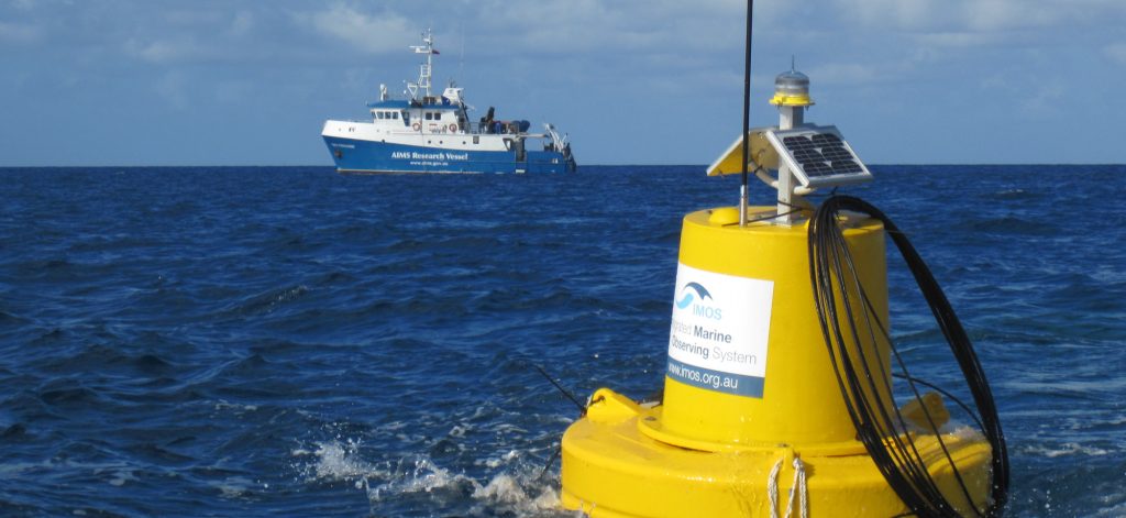
The Pacific Northwest now has access to the ShakeAlert Earthquake Early Warning system, which can send alerts to phones and trigger automated protective actions. For many inland earthquakes, those seconds can help people drop, cover, and hold on. But Cascadia presents a harder problem. Coastal communities sit close to the source, so warning time may be minimal or absent for the strongest shaking. Scientists have also noted that land-based sensors alone create blind spots for the nearest shorelines, which is why new seafloor instruments and geodetic upgrades matter so much.
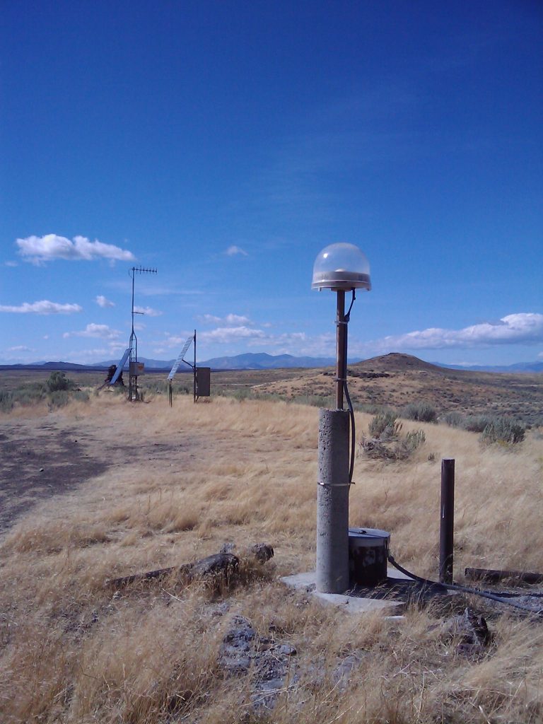
7. New detection tools are being built for very large earthquakes
Large earthquakes are difficult to size quickly. Traditional seismic measurements can underestimate the biggest events in their earliest moments, a serious problem when alert systems are deciding who needs to be warned. That is why networks in the region have added geodetic approaches such as GNSS-based processing and algorithms designed to improve characterization of M7+ earthquakes. The public may not notice a different alert style, but the improved magnitude estimates can widen the area warned during a true Cascadia-scale event.
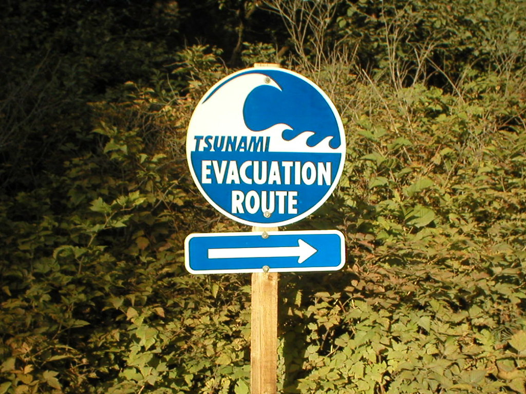
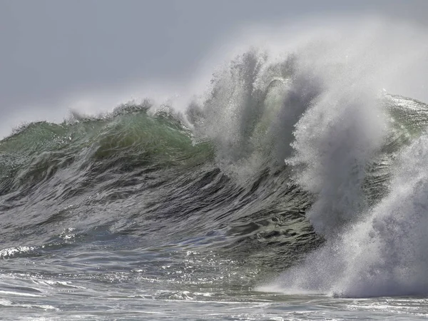
8. The tsunami threat is tied to immediate action, not confirmation
In a Cascadia megathrust earthquake, the quake itself is the coastal warning. Emergency guidance continues to stress that people near the ocean should not wait for a siren, text, or official message before moving to high ground after strong shaking. That advice reflects harsh timing. In many coastal locations, the tsunami could arrive within about 10 to 20 minutes, while waves and surges may continue for hours. A community’s survival margin depends heavily on walkable evacuation routes, vertical evacuation structures, and public familiarity with where to go.

9. Preparedness gaps remain one of the clearest warning signs
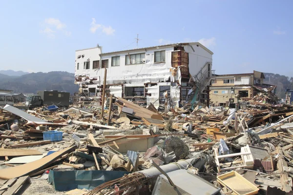
The science has advanced faster than regional readiness. Hazard estimates remain severe, with scenario planning that has projected thousands of deaths, more than 100,000 injuries, and widespread damage to buildings, schools, hospitals, ports, and roads.
At the same time, some communities still face gaps in retrofit work, evacuation planning, and support for residents who would need extra help. The most practical warning sign may be this mismatch itself: a well-documented threat paired with uneven preparation across the coast and inland population centers.
Cascadia does not offer a neat countdown. What it offers is accumulating evidence: locked sections, moving fluids, recurring slow slip, segmented geology, short tsunami timelines, and a monitoring network that is improving but still incomplete.
For the Pacific Northwest, those signs point in one direction. The region’s safety will depend less on knowing the exact day of the next giant earthquake than on how seriously its long-visible signals are treated now.

