
Along the Cascadia coast, survival is often described in miles, minutes, and elevation. When a major offshore earthquake strikes, the shaking itself may last several minutes, and in some communities the first tsunami waves may arrive in 15 to 30 minutes. That leaves a narrow window for people to protect themselves during the quake, get oriented, and move on foot toward safety.
The challenge is not only the wave. It is the distance to high ground, the condition of routes after violent shaking, and the reality that many residents, workers, and visitors begin from low-lying neighborhoods built for access to the sea, not speed away from it. These ten factors help explain why a 10-minute escape remains out of reach for many Cascadia coastal towns.
1. The clock starts after the earthquake, not before it
Evacuation time is commonly misunderstood as the full gap between earthquake and wave arrival. In practice, that window is shorter. Washington’s planning assumptions note that ground shaking may last 3 to 6 minutes, and people are expected to drop, cover, and hold on before moving.
By the time walking begins, a large share of the available time may already be gone. That is why the idea of a quick ten-minute departure can be misleading. The body must first survive the shaking before it can begin the climb.
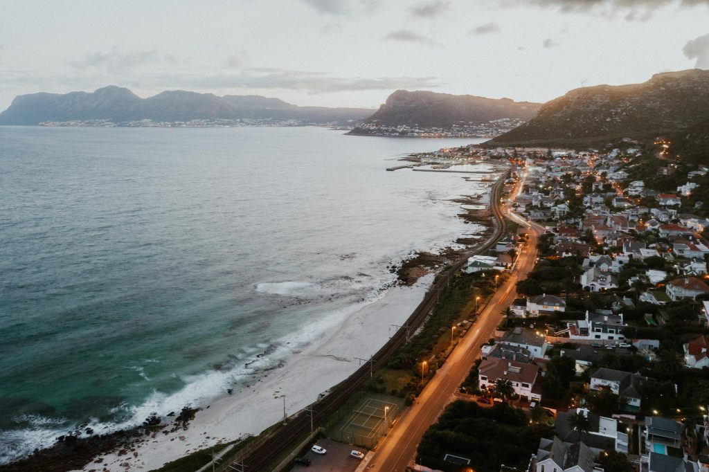
2. Many communities were built on flat, exposed land
Coastal towns often cluster around beaches, bays, estuaries, ports, and river mouths. Those same landscapes make evacuation harder because they are low, broad, and far from natural refuge. A town may look compact on a map while still forcing evacuees to cover long distances before reaching true safety.
Federal and academic researchers found that tens of thousands of people along the Pacific Northwest coast may not have enough time to leave low-lying areas before tsunami arrival. In that work, some communities were identified as having moderate populations in hazard zones but insufficient time for everyone to evacuate, making structural refuge an essential part of the conversation.
3. Walking routes are longer and more complicated than they look
An evacuation route is rarely a straight uphill sprint. It may involve road bends, trail links, narrow crossings, or a mile or more of wayfinding through unfamiliar streets. Washington’s tsunami guidance notes that routes can include many twists and turns, especially for visitors who do not know the area.
Even where digital tools exist, they are limited. The NVS routing platform currently offers turn-by-turn evacuation guidance only for the Long Beach peninsula, Ilwaco and Cape Disappointment, not for the full coast. That leaves many communities dependent on static maps, local memory, or signs noticed ahead of time.
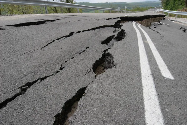
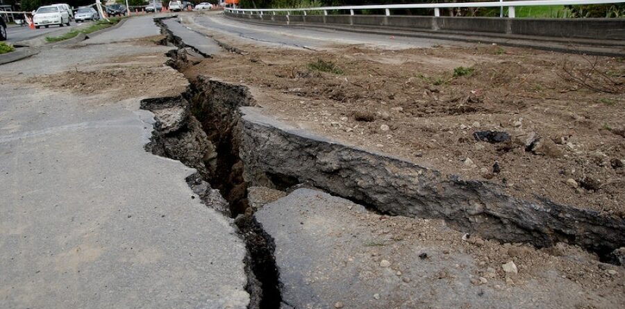
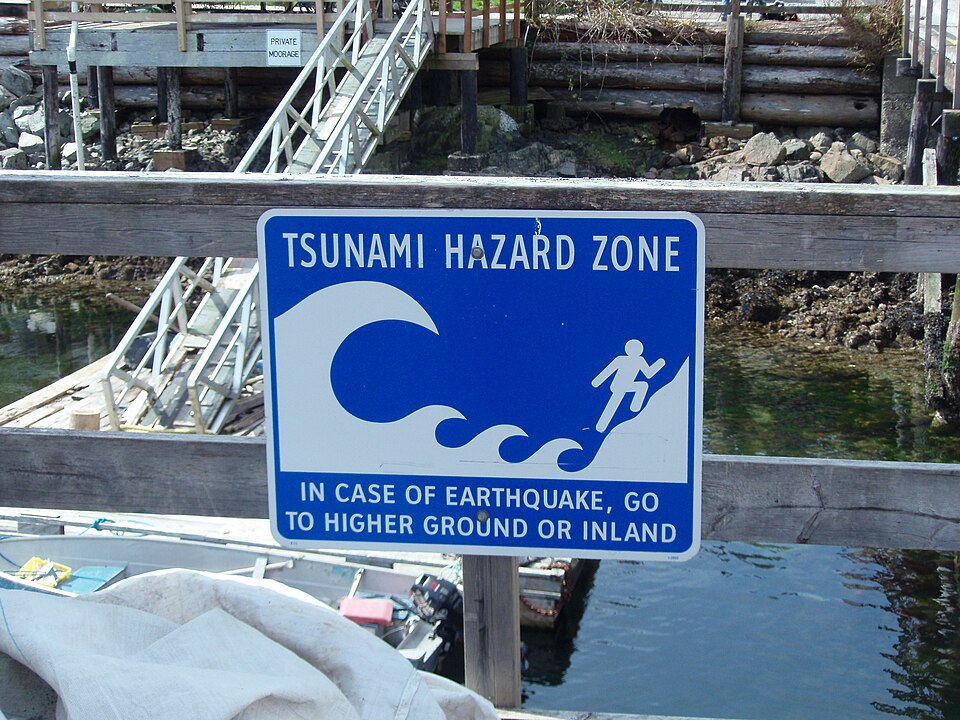
4. Roads and bridges may fail the moment they are needed most
Cascadia evacuation planning does not assume a clean post-earthquake landscape. Severe shaking can damage roads, trigger liquefaction, and make bridges unreliable or unusable. Washington’s statewide loss estimate specifically factors in route distance, nearest high ground, and potential bridge failures when estimating how many people can escape on foot.
A ten-minute target becomes far less realistic when the obvious route is blocked and the backup route is longer, steeper, or unknown.

5. Visitors face the greatest orientation problem
Permanent residents may know local hills, back streets, and assembly areas. Visitors often do not. That matters on a coastline where summer tourism can sharply increase the number of people in inundation zones.
Washington’s hazard analysis says transient populations can surge by hundreds of thousands during peak periods and major holiday weekends. Hotels, campgrounds, RV parks, and marinas place people close to the water, often in locations where every minute lost to confusion has consequences.
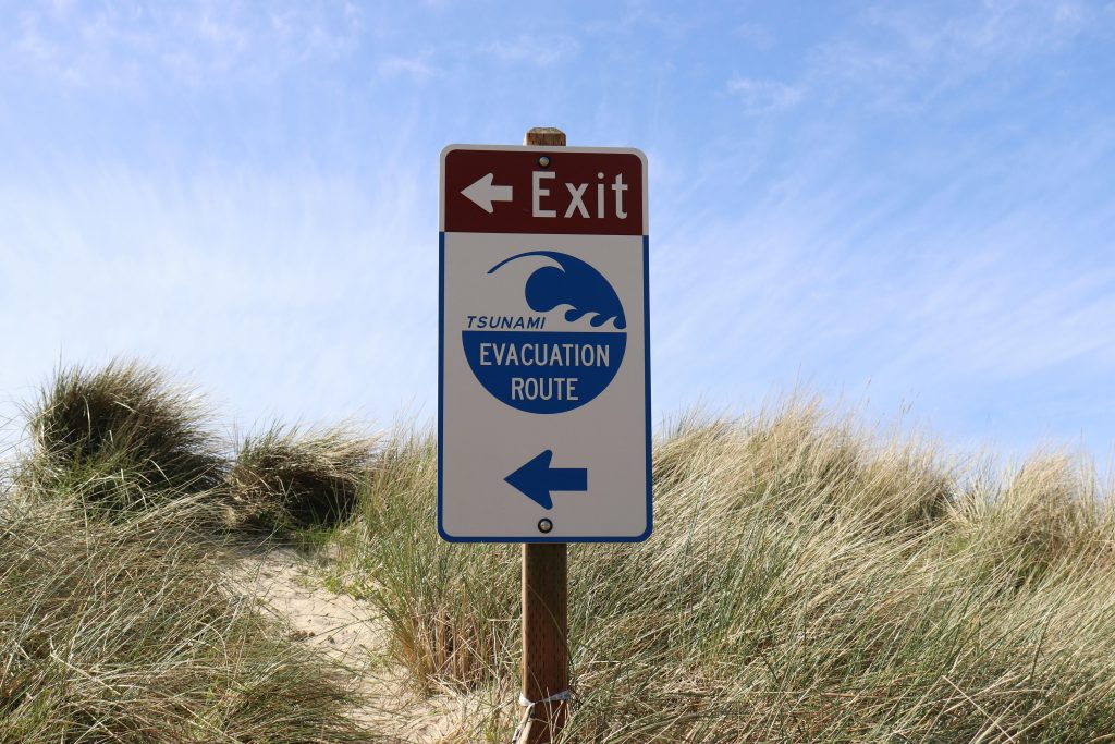
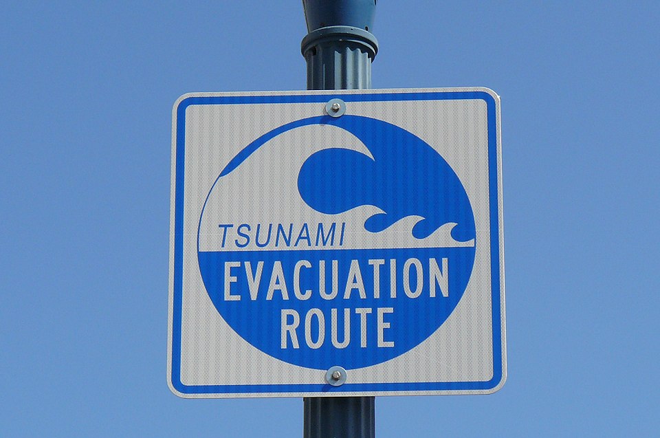
6. Signs help, but signage gaps still remain
Tsunami wayfinding signs are one of the simplest tools in an emergency, yet they are not universal. Washington reports that coastal communities have posted signs along 1,050 miles of mapped evacuation routes, but it also states that major gaps remain because of limited capacity and funding.
That shortfall matters most for people who are new to town, outside after dark, or moving under stress after a quake. A route only works if it can be recognized instantly.
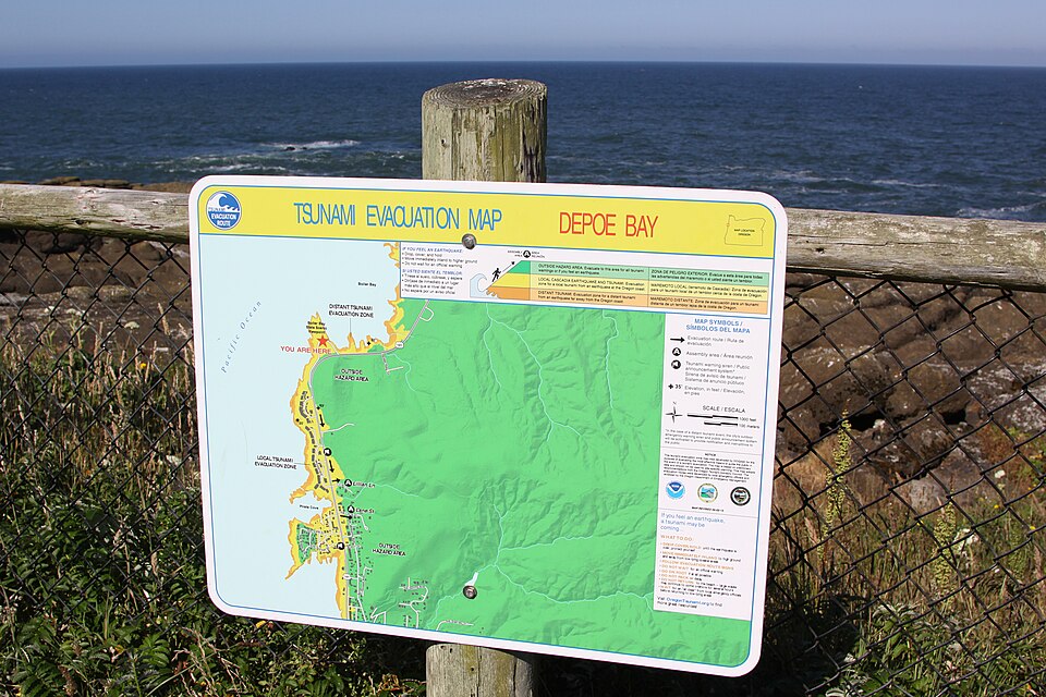
7. Official maps exist, but coverage and freshness vary
Washington has produced a large set of pedestrian evacuation maps for places such as La Push, Moclips, Neah Bay, Taholah, Westport, Ocean Shores, and Raymond. These maps estimate both walking times and expected wave arrival. They are among the most practical preparedness tools on the coast.
Still, coverage is uneven, and some older brochures are explicitly marked as not updated or partially superseded by newer modeling. In a hazard defined by minutes, small changes in inundation lines or route guidance are not minor details.
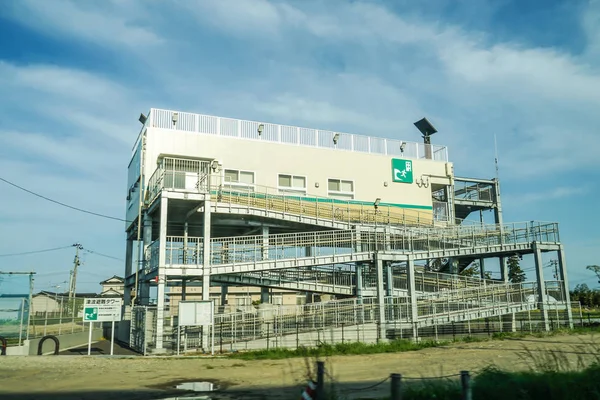
8. Natural high ground is not always close enough
Some communities simply do not have nearby hills that can be reached in time by everyone. That is the core reason vertical evacuation structures have become central to Cascadia planning. Washington’s emergency guidance describes them as the proven option where natural high ground is too far or inaccessible.
Westport offers a clear example of how communities are responding. A planned tsunami tower there is intended to serve as an evacuation refuge for nearly half of the population of Westport, underscoring how many people cannot rely on a conventional run-to-the-hill strategy alone.

9. Risk models assume ideal behavior that real life rarely delivers
The state’s casualty modeling uses the best available tools, but it also rests on optimistic assumptions: that evacuees know the nearest accessible high ground, choose the most efficient path, and move promptly even if the route lacks lighting, clear signage, or an obvious trail. Real evacuations are messier. Children, older adults, injured people, workers responsible for others, and families trying to reunite do not move at the same pace. The “ten-minute escape” is often less a standard than a stress test many places still fail.
10. The region’s exposure is larger than many people realize
The issue is not confined to a handful of beach towns. Washington states that over 175,000 residents and visitors are located within the state’s tsunami inundation zone at any given time. Its M9.0 Cascadia scenario estimates 50,000–65,000+ casualties within the first hour from the tsunami alone.
Those numbers explain why evacuation is no longer treated as a personal choice or a tourism-season reminder. It is a regional design problem involving land use, infrastructure, public education, route maintenance, and refuge construction.
The most important lesson from Cascadia planning is simple: speed matters, but distance and geography matter just as much. In many coastal towns, the problem is not whether people are willing to run. It is that the landscape still asks them to do more than the clock allows.
That is why preparedness in this region increasingly centers on practical tools walk maps, drills, hardened routes, and vertical refuge not on reassurance. For a coastline measured against the arrival of the first wave, resilience depends on shortening the journey before the earthquake ever begins.

