
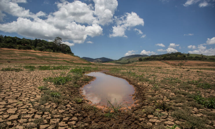
Maps can calm people for the wrong reasons. A state shaded as “safer” during a major disaster often looks like a promise of protection, even when the underlying hazard does not respect borders, simple color codes, or popular assumptions about distance.
That misunderstanding becomes especially sharp in radiation scenarios, where fallout is shaped by altitude, weather, timing, shelter quality, and downwind exposure. Federal guidance does not treat safety as a state-level label. It treats safety as a matter of time, distance, and shielding.
1. A state outline is not the same thing as a hazard boundary
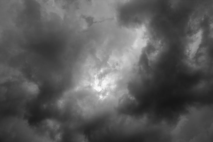
Disaster maps are often read as if state lines act like walls. They do not. In radiation emergencies, danger is tied to plume movement, wind patterns, precipitation, and local exposure conditions, not to whether a person is on one side of a political border or the other. The EPA explains that fallout paths depend on wind and weather patterns. That single fact undercuts the idea that an entire state can be treated as categorically safe or unsafe. Even a place far from an initial event can face contamination concerns if airborne material travels and later returns to the ground.
2. Distance alone does not settle the question
People often assume that being far away guarantees protection. Distance matters, but it is only one part of the picture. Fallout can travel high into the atmosphere, and lighter particles may circulate far beyond the immediate blast area before descending. According to the EPA, aboveground detonations can send radioactive materials as high as 50 miles into the atmosphere. Larger particles fall nearer the source, while smaller particles and gases can move much farther. That is why “farther away” and “safe” are not interchangeable terms.
3. Historic fallout maps are often mistaken for present-day survival guides
Old maps carry emotional force. They show broad swaths of land crossed by radioactive clouds during the era of weapons testing, and many viewers read them as if they were modern evacuation tools or timeless rankings of safe places. They are not. A frequently shared cartographic example documents areas crossed by two or more radioactive clouds during testing between 1951 and 1962. Its value is historical and interpretive. It shows how weather dispersed contamination in the past, which is useful context, but it does not function as a universal map of where people should go in a future emergency.
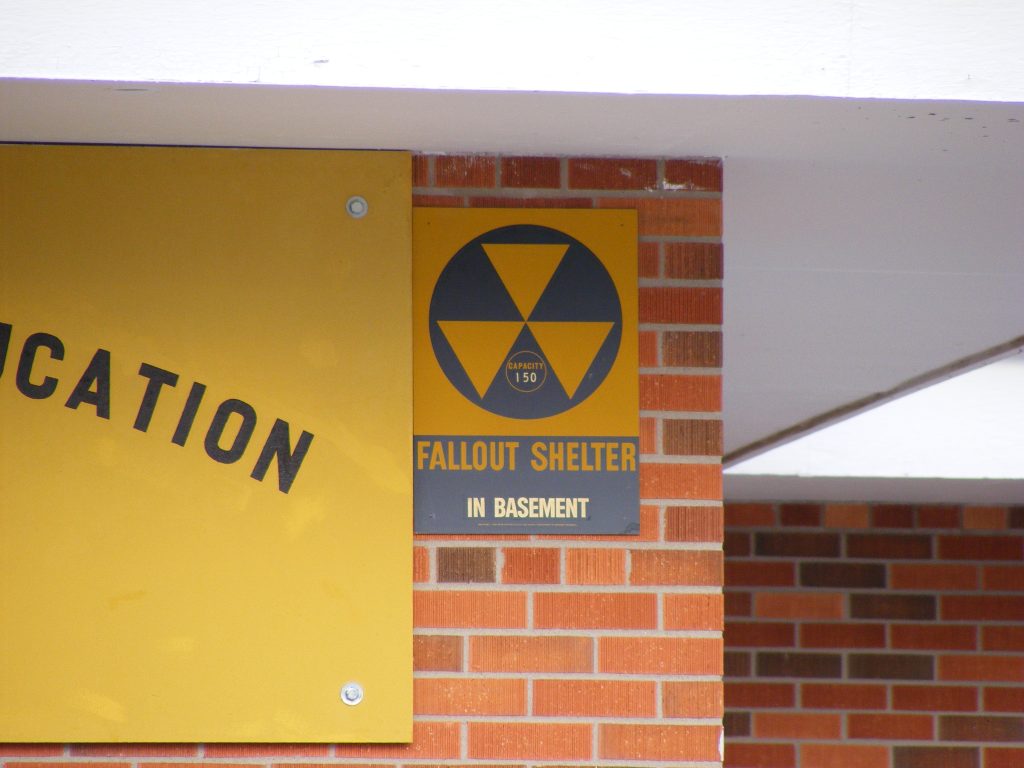
4. The first protective decision is usually about shelter, not relocation
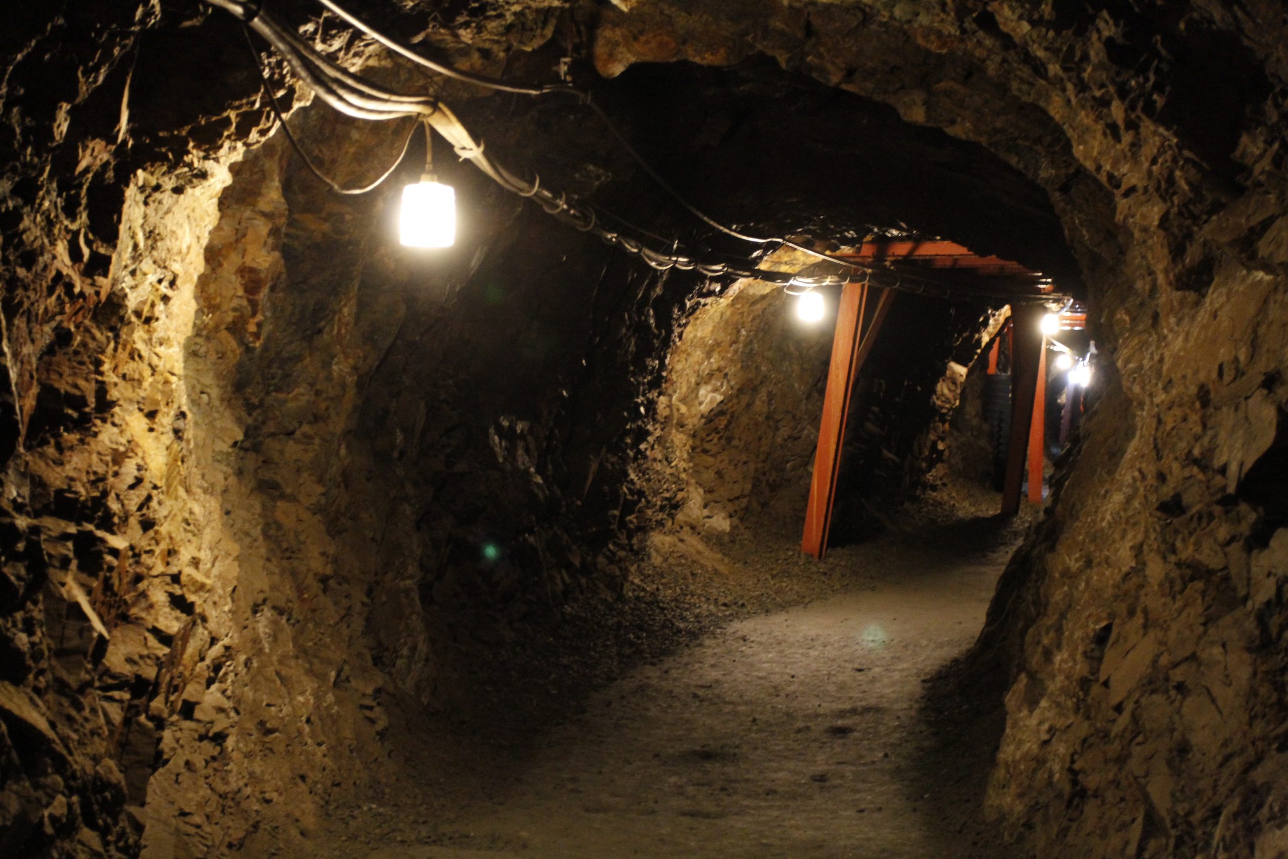
The “safe state” myth encourages a flight instinct: leave immediately, drive farther, keep moving. Federal preparedness guidance points in a different direction during radiation emergencies. The crucial early action is often to get into a protective structure fast enough to reduce exposure. Ready .gov states that after a nuclear detonation, people may have 10 minutes or more to find an adequate shelter before fallout arrives. That makes building quality more important than a broad map label in the opening phase. A basement or the center of a large brick or concrete building can matter more than crossing into another county, much less another state.
5. “Low risk” does not mean “no preparation needed”
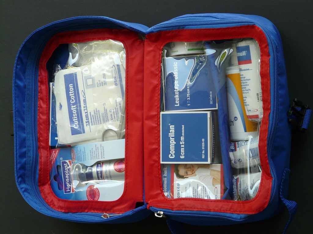
A place perceived as less likely to face direct effects can still foster dangerous complacency. Families who believe their state is naturally safe may delay emergency planning, ignore alert systems, or assume they will have time to sort things out later. Preparedness guidance is built around practical habits instead: multiple ways to receive alerts, a battery-powered radio, sealed food and water, medicine, spare clothes, and a family communication plan. These steps are not reserved for people in one region. They are useful precisely because disasters rarely unfold according to public assumptions.
6. Fallout risk changes over time, sometimes quickly
Static maps flatten a moving reality. Radiation danger is not constant from hour to hour. Conditions immediately after a detonation are not the same as conditions a day later, which is one reason simple geographic labels can mislead. Ready.gov notes that radiation levels decrease rapidly during the first 24 hours, becoming significantly less dangerous over that period. That does not erase the hazard. It means the timing of sheltering, movement, and official instructions matters enormously. A color-filled state map cannot convey that kind of changing risk very well.

7. Internal exposure is one of the least understood parts of the myth
Many people picture radiation only as something outside the body, as if safety depends entirely on avoiding a visible zone. Fallout also creates risks through inhalation and ingestion. That makes food, water, dust, and contaminated surfaces part of the equation. The EPA notes that radionuclides taken into the body are not blocked by external shielding in the same way, and contaminated plants, water, and livestock can extend exposure pathways. This is why emergency advice includes removing outer clothing, washing exposed skin and hair, and avoiding uncovered outdoor food until authorities say it is safe.

8. Missile and disaster modeling are about uncertainty, not guarantees
Maps built from technical models can look definitive, especially when they appear to sort regions into higher and lower danger. But modeling in this field often exists to measure uncertainty rather than erase it. Research highlighted by MIT has examined how advanced weapons can create ambiguities that could lead to escalation. That work is about the complexity of trajectories, interpretation, and response. In public life, people often convert complexity into a false binary: safe places and unsafe places. The science points the other way.

The safest reading of any “safe state” map is a modest one. Such maps may offer background context, broad historical patterns, or rough comparative signals, but they do not replace emergency instructions, local conditions, or the basic protective rule to get inside, stay inside, and stay tuned. During major disasters, the most useful question is usually not which state looks safest on a map. It is which verified action reduces exposure right now.

