Maps about surviving a nuclear strike promise a kind of certainty that the subject does not allow. Still, fallout modeling has pushed one uncomfortable question into public view: which parts of the United States are likely to face less immediate radiation exposure if missile fields in the interior were attacked?
The answer is not a list of safe havens. It is a map of relative risk. Simulations tied to 450 U.S. missile silos show why distance, wind patterns, and geography matter in the first four days after a large counterforce strike. They also show why lower fallout does not equal long-term security.

1. Maine
Maine appears in the lower exposure band in silo-strike simulations because it sits far from the densest cluster of land-based missile targets in the interior West and Great Plains. In many modeled scenarios, the state benefits from that distance more than from any special local feature.
That does not remove danger. A lower projected dose only means the immediate fallout burden is lighter than in states downwind of silo fields. It does not account for food disruption, medical shortages, or wider climate effects.
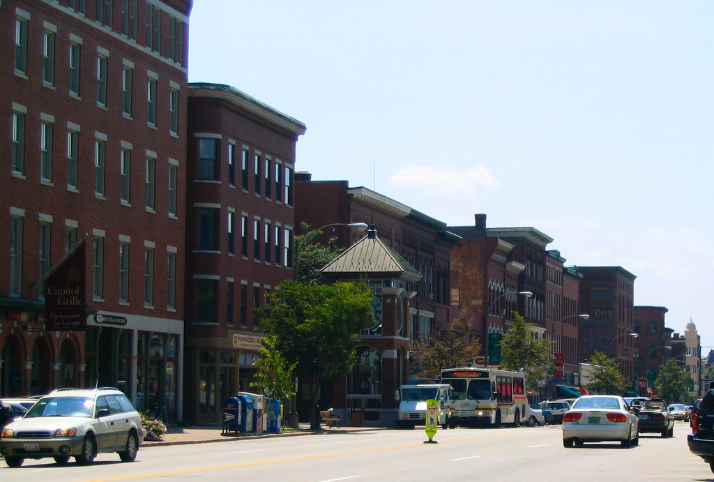
2. New Hampshire
New Hampshire is often grouped with northern New England states that receive comparatively limited fallout in average case modeling. The reason is simple: it is removed from the corridor stretching through Montana, Wyoming, Colorado, Nebraska, and the Dakotas, where silo concentrations make surrounding regions much more vulnerable to radioactive plumes. In practical terms, that means more time for sheltering and less likelihood of the extreme outdoor doses projected near primary targets. It does not mean immunity if wind conditions shift.

3. Vermont
Vermont stands out for the same broad reason as its New England neighbors: it is outside the central belt expected to absorb the heaviest immediate fallout from attacks on missile installations. The strongest advantage is geographic separation from the launch fields, not any guarantee that contaminants would never arrive.
Researchers using 365 simulations with 2021 weather data found that conditions can vary sharply by day, which makes every low risk label conditional. Vermont looks better on these maps than much of the Midwest, but the models remain weather sensitive.

4. Massachusetts
Massachusetts falls into the lower-dose range in average fallout scenarios tied to attacks on inland missile silos. Coastal position helps, but prevailing wind patterns are an equally important part of the story, because the heaviest modeled plumes generally spread away from the Pacific and across the continent.
That advantage narrows in broader discussions of nuclear effects. Once the focus shifts from immediate fallout to infrastructure breakdown and disrupted supply chains, the margin between “better positioned” and “secure” becomes much smaller.

5. Rhode Island
Rhode Island is tiny on the map, yet it lands in the same relatively lighter fallout zone as nearby coastal states. The state’s distance from ground-burst targets in silo country is the core reason it fares better in this narrow scenario.
This is one of the clearest examples of how the maps should be read. They are not measuring overall survivability in a national catastrophe. They are estimating short-term radiation exposure after a specific kind of strike.

6. Connecticut
Connecticut benefits in the models from being far from the Great Plains missile network. Outdoor doses in lower-risk coastal states remain well below the extreme levels projected for communities near targeted silos, where some areas could face several times a lethal dose within days.
The broader scientific concern reaches far beyond the first plume. Research into debris injected into the troposphere and stratosphere has long pointed to possible effects on weather and climate after large nuclear detonations, especially when fires and fine particles alter sunlight and precipitation patterns.

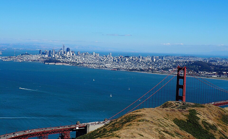
7. New York
New York appears on lower-fallout lists when the scenario is narrowly defined as an attack centered on missile silos rather than a wider strike on political, military, or urban targets. That distinction matters. The state fares better in one model because the blast pattern is concentrated elsewhere. Once other target categories are considered, the picture becomes less reassuring. The main value of New York’s placement in these maps is not comfort but contrast: it shows how much scenario design shapes risk estimates.
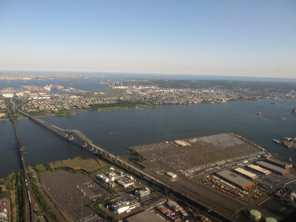
8. New Jersey
New Jersey is another state that sits outside the inland missile belt and therefore avoids the worst projected immediate fallout in average-case simulations. Its relative advantage comes from what it is not near. Even so, scientists and historians of nuclear risk have repeatedly warned that a major exchange would not stop at local radiation maps. Studies revisiting “nuclear winter” theory describe how soot from burning cities could reduce sunlight, lower temperatures, and damage agriculture on a far wider scale.
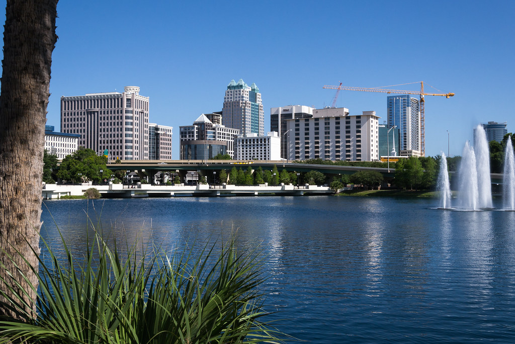
9. Florida
Florida is often included among lower immediate fallout-risk states in silo-focused simulations because of its distance from the central missile fields. In average cases, that distance keeps projected exposure well below the most dangerous zones of the northern Plains and mountain West.
But Florida also shows the limit of treating geography as destiny. A state may be far from one target set and still remain vulnerable to supply interruptions, contaminated imports, overwhelmed transport systems, and any shift toward strikes on major population or command centers. The strongest lesson from these maps is not where to move. It is how narrow the category of “safer” really is.
Immediate fallout risk can be lower in parts of New England, the Mid Atlantic, and Florida when the modeled attack is concentrated on missile silos. Yet the same research tradition also points toward a harsher reality: radiation is only one layer of the threat, and large nuclear detonations can ripple outward through weather, food systems, and public health far beyond the blast zones.

