
The Pacific Northwest is shaped by the same forces that make it vulnerable. Offshore, the Cascadia Subduction Zone stores strain where one tectonic plate presses beneath another, creating the conditions for the kind of megathrust earthquake that can reorder coastlines, overwhelm roads, and disrupt daily life far beyond the shoreline.
For residents in Washington, Oregon, northern California, and coastal British Columbia, the real story is not only the size of a possible future quake. It is the pattern of risks around it: long shaking, rapid tsunami arrival in some places, land that can drop permanently, and recovery systems that may be stretched for weeks.
1. Cascadia is built for rare but enormous earthquakes
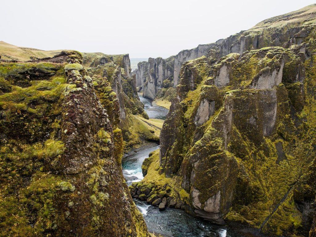
The fault itself is vast, running about 700 miles from northern California to British Columbia. It is a subduction zone, where the Juan de Fuca Plate is being forced beneath North America, a process that can generate the world’s largest earthquakes. Scientists have identified many great Cascadia ruptures over thousands of years, with intervals that are irregular rather than clockwork. The last known full-scale event struck in 1700. Geological evidence, drowned forests, tsunami deposits, and records in Japan all helped confirm it.
2. The danger is not just stronger shaking, but longer shaking
A megathrust quake does not simply feel like a larger version of a smaller earthquake. The shaking can continue for several minutes, which matters because long-duration motion stresses buildings, bridges, and slopes in ways that shorter earthquakes may not. Oregon’s emergency planning notes the coast could experience five to seven minutes of shaking, with intensity generally decreasing farther inland. That duration changes decisions in an instant. It affects evacuation timing, structural performance, and the chance of landslides or liquefaction in vulnerable soils.
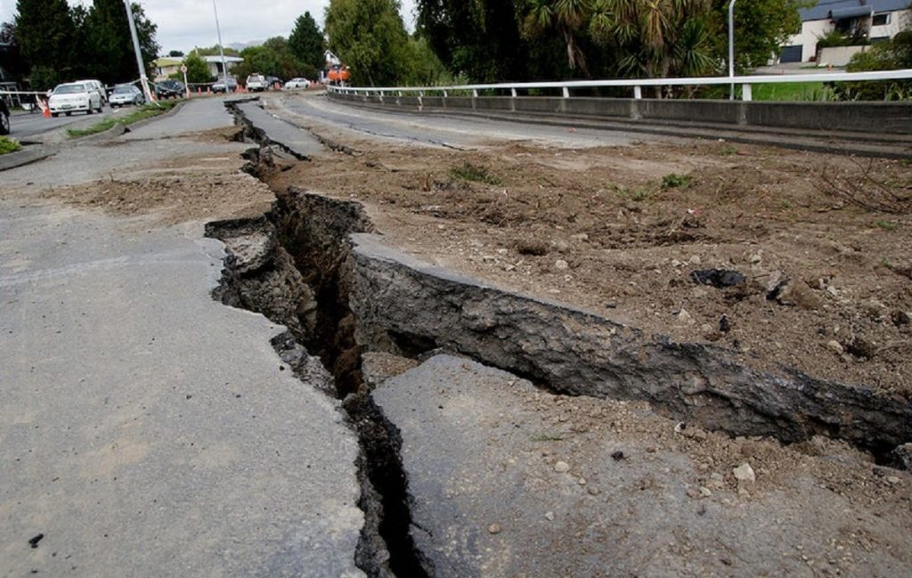
3. Parts of the coastline may drop within minutes
One of the least intuitive hazards is subsidence: the ground itself can sink during the rupture. In Cascadia, that means some low-lying coastal areas may become permanently lower relative to sea level immediately after the earthquake, expanding flood exposure long after the shaking ends. This is one reason Cascadia planning extends beyond the first day. A quake can become a long-term land-change event, not just a short-lived emergency.
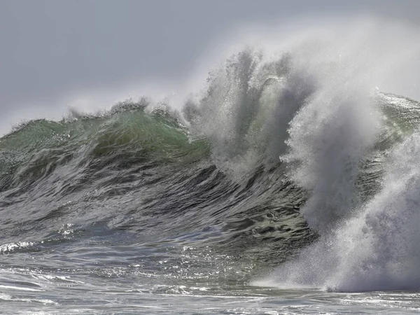
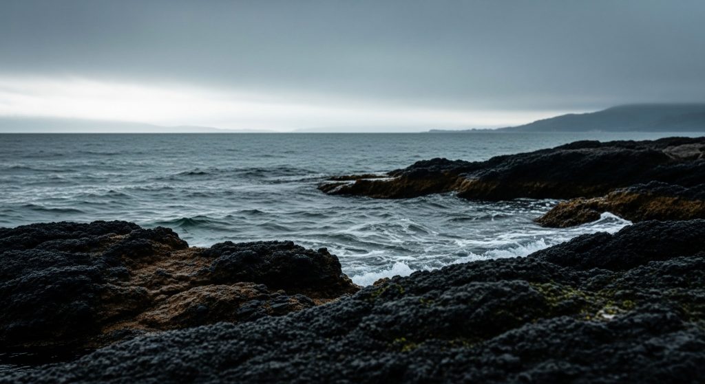
4. Tsunami timing may be brutally short in exposed communities
Along outer-coast areas, tsunami arrival can follow quickly after the shaking. Emergency guidance in the region emphasizes that people should not wait for a formal warning if they are in a tsunami zone and feel strong shaking. In many places, natural warning is the warning. Some older scenarios assumed the largest waves would arrive faster and more uniformly everywhere along the coast. But newer research found megasplay faults are not continuous along Cascadia, suggesting tsunami behavior may vary more from place to place than earlier models assumed. That does not reduce the seriousness of coastal evacuation; it sharpens the need for location-specific planning.
5. Small earthquakes do not “let off steam” for the big one
This remains one of the most persistent myths around earthquake risk. Earthquakes Canada’s Cascadia guidance is direct: many tiny quakes do not meaningfully drain the energy required for a megathrust rupture. The scale difference is too large. That matters because a quiet period does not equal safety, and a busy period of small tremors does not equal relief. Cascadia is unusual partly because it has relatively little obvious seismic chatter compared with some other subduction zones.

6. Scientists are finding the fault may behave differently by region
New offshore monitoring is complicating the old picture of one uniformly locked fault. A 2026 University of Washington study reported that the northern portion appears locked while the central section shows more activity, including signs of shallow slow-motion slip and fluid movement. That does not remove risk or change the broad need to prepare. It does mean scientists are refining how ruptures may spread, where pressure may be partly relieved, and how future damage patterns could differ across the margin.
7. The region’s biggest earthquake hazard is not always the megathrust
Cascadia gets the headlines, but it is not the only serious threat. The Pacific Northwest also faces deep intraslab earthquakes and shallow crustal earthquakes, both of which can strike closer to population centers. A recent USGS overview notes the Puget Sound region has an 85-percent chance of a deep M6.5 or larger intraslab earthquake in 50 years. That is why preparedness advice remains similar across scenarios: secure heavy furniture, know how to protect during shaking, and understand local evacuation routes if near the coast.
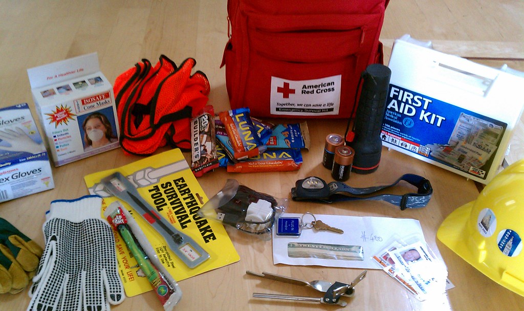
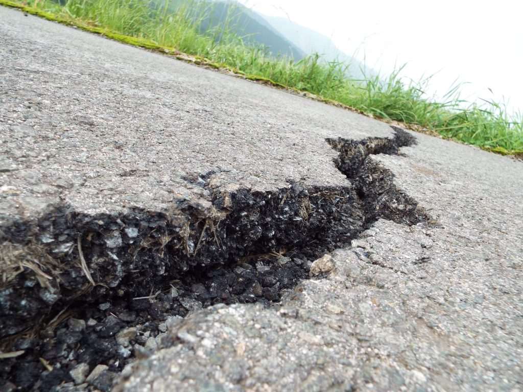
8. Help may not arrive quickly, so household planning matters
Regional preparedness agencies consistently warn that residents may need to be self-sufficient for at least two weeks after a major Cascadia event. Damaged bridges, blocked roads, power failures, and broken communications can isolate communities, especially on the coast and in areas dependent on a few transportation links. Preparedness guidance across the region stresses multiple layers: alert settings on phones, family reunification plans, medication supplies, food and water, pet needs, and a home hazards check. The most basic protective action remains simple and repeated often: Drop, Cover, and Hold On.
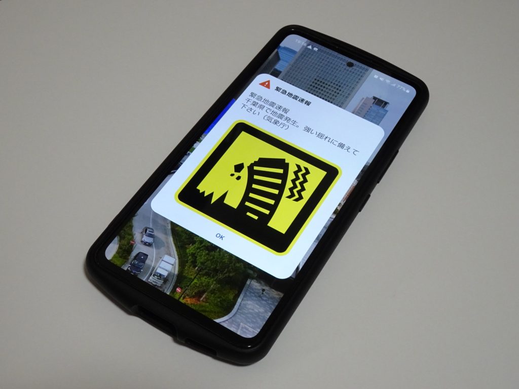
9. Early warning exists, but it is not prediction
Public confusion often starts here. ShakeAlert does not forecast earthquakes days or hours in advance. It detects shaking after a quake begins and can send alerts before stronger motion reaches some locations. That can provide a few seconds to tens of seconds for protective action, depending on distance from the source. According to the Pacific Northwest Seismic Network, the system can also support automated responses such as slowing trains, opening firehouse doors, and helping facilities prepare before strong shaking arrives. It is useful, but it works best when people already know what to do the moment the alert appears.
Cascadia risk is often described in dramatic terms because the consequences can be sweeping. But the more practical lesson is steadier than dramatic: the region’s vulnerability comes from layers of exposure that are already well understood, from long shaking and coastal flooding to isolation and aging infrastructure. For households and communities, the clearest advantage comes before any earthquake begins. Familiar routes, secured interiors, backup supplies, and practiced responses remain the tools that turn geologic certainty into survivable disruption.

