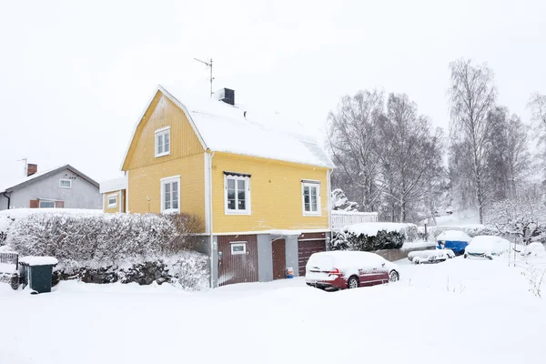
“Conditions may change quickly in a snow squall, making travel dangerous for motorists. If you are caught in a snow squall while driving and are unable to leave the roadway safely, decrease speed, turn on your lights and hazard lights, and do not slam on the brakes,” the National Weather Service advised.
That one warning is the key to understanding just how different a winter pattern can feel from one location to another. A glaze in one area is a nuisance in another, particularly when Arctic air follows a quick-moving system and temperatures are near freezing.
But from the Midwest and Great Lakes regions through the I-95 corridor, the same general pattern can bring everything from whiteouts to slushy conditions, with a few southern counties experiencing snowflakes that are rare enough to catch motorists off guard.
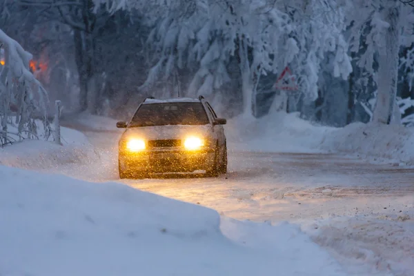
1. Snow squalls that reduce visibility in minutes
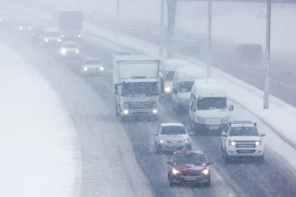
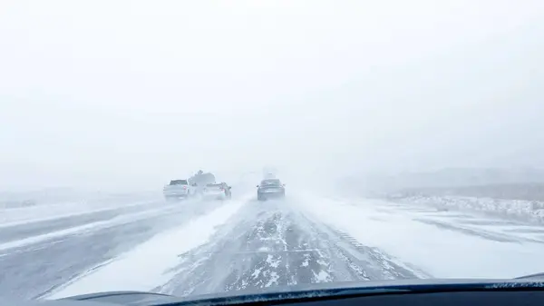
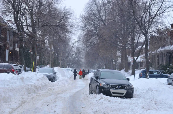
Snow squalls are short-lived and intense snow events that can turn a routine commute into a zero-visibility situation in a matter of minutes. Snow squalls tend to come in with strong cold fronts and can be accompanied by gusty winds and a rapid temperature drop, which is why roads can become icy even if the snowfall amounts appear to be “minor.” The National Weather Service has specific warnings for this type of danger, including Snow Squall Warnings, which are more concerned with the speed of change than the amount of change. The greatest danger lies in the disconnect between what is expected and what is happening on the road.
2. The “flash-freeze” system in back
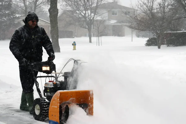
If the temperature is at or below 32°F as the squall passes through, the meltwater and slush may re-freeze quickly on heavily trafficked roads. This is known as the “flash freeze” phenomenon, and it can make road conditions seem very unpredictable, with some areas remaining wet while others become icy. Bridges and overpasses are the first to freeze because the cold air passes below and above the road, making elevated areas a common problem spot even if the roads around them are only wet.
3. Why a dusting can be more dangerous in the Southeast
The Southeast can expect disproportionate consequences from even small snowfall events because of the relative lack of snow treatment resources and winter road practices compared to snow-belt areas. “The Southeast has fewer snowplows, salt, and snow treatment capabilities,” said AccuWeather meteorologist Dan Pydynowski, “which can mean that road conditions are changing faster than they can react to them. When you factor in less frequent exposure to winter driving conditions, the potential for spinouts and slide-offs increases.”
4. A narrow snow band from Georgia into the Carolinas and Virginia
The forecast guidance with this pattern suggests a corridor where light accumulation becomes most likely, usually a glaze to 1 inch with scattered heavier pockets. This corridor has been suggested to extend from Georgia through the Carolinas into southeastern Virginia, where several hours of more steady snow can occur if the storm intensifies along the coast. Even if accumulation amounts remain low, slushy areas can develop rapidly during the morning hours, then re-freeze if skies clear and temperatures drop.
5. Florida’s snow question: flakes possible, sticking is the hurdle
In the Panhandle, snow may appear as rain changes over in the evening behind the front, but temperatures may be too warm for accumulation. In similar scenarios, the best opportunity for light accumulation will be on non-paved surfaces, such as grassy areas, while roads will remain wet until a late drop below freezing turns remaining moisture into slick spots. The point is that travel danger can increase even if there is little change in the appearance of the landscape.
6. Lake-effect snow: when the Great Lakes “reload” totals fast
Whereas the South waits for a layering of snow, the Great Lakes can deliver a foot of snow or more when Arctic air pours over the relatively warmer surface of the lakes. This temperature difference sustains a narrow band that keeps delivering to the same areas, resulting in localized whiteouts and rapidly rising snow totals. In this scenario, the lake-effect process can deliver 1 foot or more of snow to the snowbelts, and road conditions can vary block by block depending on the band in place.

7. Northeast travel friction even with modest city totals
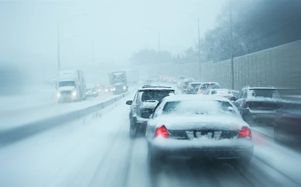
In the I-95 corridor, the track of coastal storms and surface temperatures can be the determining factor in whether the snow will stick, melt, or become slushy. Even a coating in the major cities can cause airport delays due to the possibility of deicing aircraft and reduced airport operations due to reduced visibility. Further away from the city center and into the coastal or higher-elevation areas, totals can rise into the multi-inch category, raising the potential for delayed commutes and Sunday night travel.
Region by region, the connecting factor is not only the depth of the snow but the rate of change, which can be quick bursts, just-below-freezing temperatures, and refreezing potential. The most prudent course of action will usually be found in considering “light snow” forecasts as a surface forecast, rather than a scenic one. As the warnings point out squalls and freezing potential, the risk increases rapidly, particularly on bridges, on untreated roads, and in the first hours after the precipitation changeover.


